Download
1 / 30
330 likes | 410 Views
Learn about precision agriculture, GPS use, yield monitoring, variable rate application, sensor technology, remote sensing, guidance systems, and CORS for optimized farming practices to increase profits.

E N D
Precision Agriculture and CORS Shannon Huber Norwood Multi-County Extension Agent Alabama Cooperative Extension System
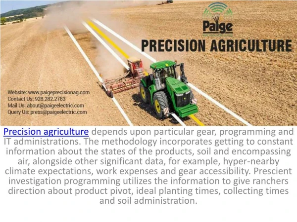
Why precision agriculture? • Growers are facing increased input costs • nitrogen, fuel • Labor is becoming harder to find • Allows farms to reduce labor needs • Environmentally friendly • Putting inputs precisely where they are needed • Generate farm specific data to increase profits
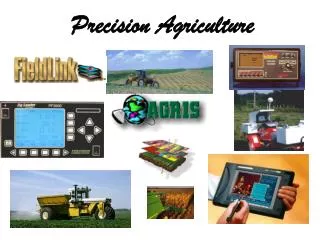
GPS use in Agriculture • Yield Monitoring • Variable Rate Application • Fertilizer, plant growth regulators, defoliant • Sensor Technology • Remote Sensing • Guidance • Boom control
Yield Monitoring • Sensors on combine or cotton picker determine yield, typically at 1 second intervals • Controller connects GPS data to sensor data allowing for creation of yield map • Typically use 1m accuracy GPS • Cotton pickers use light emitters (Ag Leader) or microwave technology (John Deere) • Yield monitors are report cards for farmers
Yield Maps Ultimate goal is a profit map!
Variable Rate Application • Technology exists to variable rate apply most crop inputs: • Fertilizer, seed, insecticide, plant growth regulators, defoliant • Fertilizer is probably most frequently applied on a variable rate basis
Variable Rate Application Seeding Prescription Map Higher seeding rates under pivot. Nitrogen Prescription Map Based on multiple years of yield data
Sensor Technology • Greenseeker is a commercially available product that measures NDVI (Normalized Difference Vegetative Index), which basically indicates how green the crop is • Why is this important? • Indicator of plant health and growth • What can we use this for? • Nitrogen application was original purpose
Remote Sensing • Commercial providers of aerial based NDVI and thermal imagery • In Alabama, primarily for cotton management • Plant growth regulators and defoliant
Remote Sensing ‘Scouting’ image product from commercial vendor Thermal image product from commercial vendor
Guidance • 3 levels of guidance products • Light bar/LCD screen guidance • Assisted steer • RTK
My personal guidance systems Runs on chicken nuggets & mac-n-cheese Runs on baby food and lots of love
Guidance • Light bar/LCD screen guidance • 12” pass-to-pass • Burndown of cover crops • Pastures • Golf course/sod • Cost: $1895 - $5000
Guidance • Assisted steer • 4-12” pass-to-pass • StarFire 2, OmniStar • Spray applications • Planting • Some products simply attach to steering column • Accuracy, but not repeatability • $2000 (as an add-on to light bar) and up
Guidance • RTK • Base station • CORS • Controlled traffic pattern • Controlled tillage • Precise input application
Guidance • RTK Costs • CORS Station: approx. $24,000 • $22,000 for third party auto-guidance setup • $12,000 for third-party base station • Base station range is approx. 6 miles line of sight • Line of sight seems to be challenge here (vs. Midwest or MS Delta) • Many farms are spread over large geographic area, would require multiple base stations • Multiple base stations or moving a base station, which would require additional labor.
Guidance – Boom Control • Sprayer booms are typically 60 or 90 ft. • Booms can have from 3 – 7 sections • Boom controls allows individual sections to be turned on or off
Guidance – Boom Control Field boundary Top View View from behind Slide courtesy Dr John Fulton, AU
CORS • Private company worked with Chris Johnson at USSRC and Tennessee Valley Research and Extension Center to test use of farm RTK equipment using CORS as correction signal • Two brands of equipment were tested
CORS • Farm in Lawrence County acquired Trimble AutoPilot equipment to use with CORS • This farm is located approx. 27 miles from GTAC CORS
CORS • In January, a discussion began between Extension PA program and area farmers to gauge interest in CORS as a possible application for the Conservation Innovation Grants
CORS in North Alabama 25 mile radius map
CORS • Farmers inquired about going together to purchase a CORS • DOT was contacted • Grant money secured from Wheat and Feed Grain & Cotton Commission • Word spreads…9 farms buy into the CORS for Courtland
Courtland on-line!!! • Courtland site became operational on March 11
Which one is right for me? Traditional Base Station CORS • Line of sight • Geographic limitations • More base stations • Move station • Some dealers provide network • Depending on factory pre-installs or current equipment, it can be cheaper to upgrade than purchase 3rd party Requires cell phone coverage Not compatible with John Deere GPS - tractor equipped with John Deere RTK can not use CORS for correction signal Nice that other groups/agencies can use signal
Future Plans • Further evaluation of CORS for ag applications • Funded by Alabama Cotton Commission • Precision Ag Team plans to apply for Conservation Innovation Grants in 2009 • Require farmer cost-share • Commercially available technology • Further partnership with DOT
Contact Information • Shannon Huber Norwood • hubersr@aces.edu • 256-412-1696 mobile • 256-353-8702 ext. 28 • Amy Winstead • winstat@aces.edu • 256-443-4752 • 256-353-8702 ext. 26