Download
1 / 14
150 likes | 221 Views
Explore the integration of hydroinformatics in the management of river basins, addressing challenges, contradictions, and the potential for stakeholder involvement. Learn how to utilize technology for informed decision-making and sustainable water use. Discover the benefits of collaborative online learning platforms like HydroEurope. Dive into flood analysis techniques and simulation scenarios to minimize risks. Experience the application of hydroinformatics in real-world scenarios, paving the way for future developments in water management education.

E N D
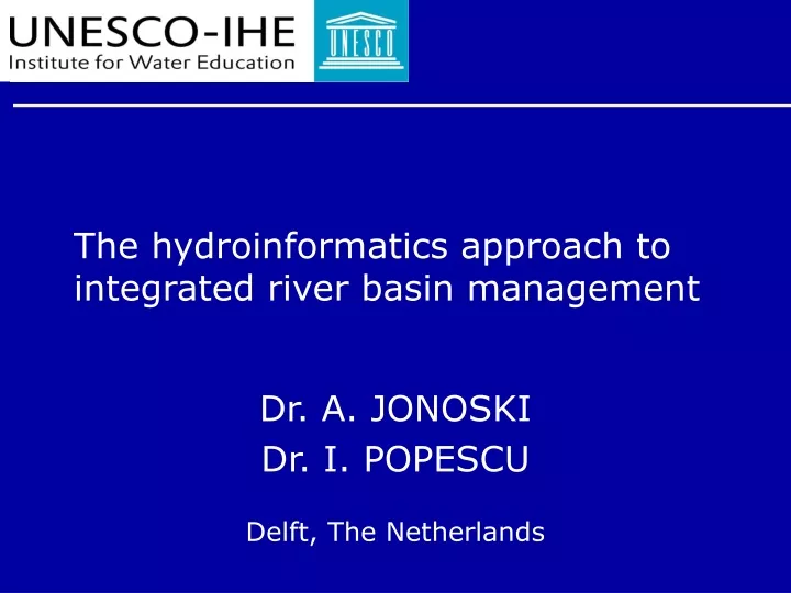
The hydroinformatics approach to integrated river basin management Dr. A. JONOSKI Dr. I. POPESCU Delft, The Netherlands
Contents • IRBM and WFD • Hydroinformatics and IRBM • HydroEurope – web based hydroinformatics education
IRBM • IRBM • Harmonisation of river basin functions and regions • Can be introduced at different levels • Operational management • Planning • Analytical support • Institutional framework • Two overarching conditions • Stakeholder and public involvement • Access to relevant data, information & knowledge
IRBM and WFD • WFD embraces IRBM concept • Sustainable water use is the overall objective of WFD, but it has clear environmental focus • IRBM concept is still broader, and in many cases approaches should be taken which go beyond the WFD • WFD requires the two overarching conditions • No guidelines on how to accomplish them
IRBM Challenges and contradictions • Institutional arrangements • Single river basin authority? • Representative river basin commissions? • The unit of river basin is still alien to many communities • People intimate themselves with other types of social groupings • IRBM concept cannot be simply ‘imposed’ • It has to start from addressing immediate concerns of stakeholders, groups and individuals • Inherent contradiction • ‘Integrated’ versus ‘inclusive of all interests’ • Very diverse understanding of ‘public participation’
Hydroinformatics and IRBM • Hydroinformatics: technology that offers possibilities for addressing IRBM critical conditions • mathematical modeling, information and communication technology, computer sciences applied to problems of aquatic environment with the aim of proper management and control
Hydroinformatics approach to IRBM • Modeling systems: • Relevant knowledge becomes accessible to wide range of professional users (instead of limited number of developers) • Hydroinformatics systems: • Integration of measuring equipment, data processing utilities, GIS, with modeling, for purposes of decision making • Next step - stakeholder and public involvement: • Network Distributed Decision Support Systems (NDDSSs)
NDDSSs concept • Internet as a platform • Three components: • Fact engine, judgment engine & collaboration/negotiation platform • Ways for development and introduction: • Through interactive multiplayer games • Joint government and NGO actions • Through the market – directly • The concept critically depends on human resources: • Wider exposure to hydroinformatics concepts • Especially for the young water professionals • Simultaneous introduction in different countries
Collaboration framework Group 1 On-line learning environment Internet-based platform www.hydro-web.org Group profile User 1 - user profile- User 2 - user profile- User 3 - user profile- Group 2 HydroEuropeHydroinformatics: the education for future • Learning hydroinformatics concepts by internet based collaboration • different teams, different institutes, common problem www.hydro-web.org
HydroEurope CHAT Data preparation Modeling Reporting E-MAIL DCMS NETMEETING Remote collaboration First phase (~3 months) Face to face collaboration Second phase (2 weeks)
Qmax = 3200 m3/s HydroEurope • Flood analisys techniques applied to the Var catchement by • Simulating the 1994 flood event and test different scenarios to select one which minimize risk of future flood
Flood Section Napoleon Bridge Approx 700m HydroEurope-problem solution Input Data •Two Digital Elevation Models (DEMs) •Topology of the river network GIS Modeling • Area, river length and slope of sub-catchments • Rainfall intensity was available at six rainfall stations Runoff calculation ( MIKE SHE ) • Discharge •Geometry of the river network deduced from DEMs Simulation with MIKE 11 Conclusion
Conclusions • Hydroinformatics offers clear possibilities for implementing the IRBM concept • HydroEurope • Experience was challenging and motivating • Possible future developments of hydroinformatics education in BALWOIS area