Download
1 / 29
340 likes | 497 Views
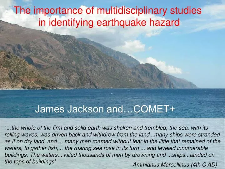
The importance of multidisciplinary studies in identifying earthquake hazard. James Jackson and…COMET+.

E N D
The importance of multidisciplinary studies in identifying earthquake hazard James Jackson and…COMET+ ‘…the whole of the firm and solid earth was shaken and trembled, the sea, with its rolling waves, was driven back and withdrew from the land...many ships were stranded as if on dry land, and ... many men roamed without fear in the little that remained of the waters, to gather fish,... the roaring sea rose in its turn ... and leveled innumerable buildings. The waters... killed thousands of men by drowning and ...ships...landed on the tops of buildings’ Ammianus Marcellinus (4th C AD)
earthquakes GPS volcanoes wrt Africa Crete tsunami AD365 earthquake
Calculations Length = 600 km; down-dip width = 40/sin 15o = 160 km; velocity = 40 mm/yr Expected moment rate = 115 x 1018 Nm/yr Earthquakes over last 100 years account for 9 x10¹⁸ Nm/yr or 3 mm/yr Earthquakes in 20th century account for <6 mm/yr or <15% of the convergence Either: most of the convergence is aseismic Or: there are occasional very large earthquakes The deficit: one Mw 7.3 every year or one Mw 8.0 every 15 years In the last 100 years there were 5 earthquakes of Mw > 7.0 (biggest Mw 7.1) Only two known candidates for earthquakes of Mw ~ 8.0 (AD 365 and 1303) The bulk of the convergence must be aseismic
The bulk of the convergence must be aseismic But how can it be both aseismic and generate Mw>8 earthquakes? GPS: McClusky et al 2000 EHB earthquakes 1964-2005; mb > 5; depth < 60 km
Modelling… black: teleseismic yellow: local microearthquake
coseismic Length 100 km; dip 30o; depth 45 km; slip 20 m Length 100 km; dip 30o; depth 45 km; slip 25 m + post-seismic coseismic + post-seismic NORTH SOUTH WEST EAST
Other possibilities: Slip on main subduction interface Needs very large slip (40m) Is not coupled anyway (GPS) Would need to recur every 1000 years…
Continuous GPS Milos Santorini
90% of convergence occurs by steady slip; only 10% accumulates elastically takes 5000 years to accumulate equivalent of 20m slip top slips 4 mm/yr slower than bottom
If previous earthquake was >7000 years ago, then sea level was tens of metres below present day …about 10-20 m below today’s at 7000 BP Soughia +6.7m
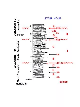
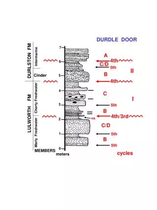
Chrissoskalitissa long-term average uplift rate ~ 2 mm/yr could be achieved by AD 365-type events every ~4500 yrs Paleochora Seismology Historical seismicity Fieldwork: geomorphology and Quaternary dating Dislocation modelling (no longer!) GPS ALL are needed. NONE is sufficient on its own
Sefidabeh lake ridge ‘blind’ fault
road gap ridge 5 km
white lake beds Sefidabeh old course of river
spring white lake beds
Sefidabeh = ‘white water’ spring
100,000 years old (U/Th) Sefidabeh Seismology Fieldwork Radar interferometry …learn how to read the signals in the landscape
TEHRAN Destroyedin: 855 AD 958 1177 1830 population: 10-12 million
G fold M J Tehran J. Hollingsworth & M.J. Bolourchi
North Tehran Fault Tehran J. Hollingsworth & M.J. Bolourchi