Download
1 / 21
230 likes | 369 Views
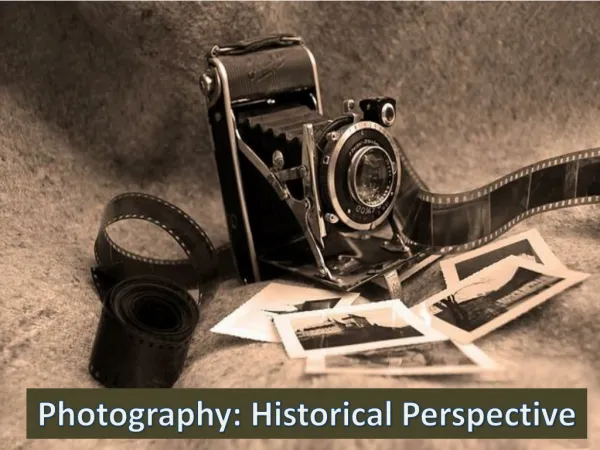
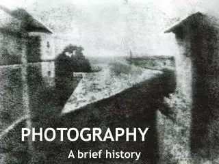
Photography. Why is photography important. Photography is important as it captures a moment in time. This moment is special because it is likely that this exact moment will never occur again

E N D
Why is photography important • Photography is important as it captures a moment in time. • This moment is special because it is likely that this exact moment will never occur again • In the study of geography photography is important as it shows different aspects of the human and physical environment
Why is photography important • Photography has become one of the best ways to capture geographical images. • It has the ability to show changes over time within the environment. • It helps geographers study a particular site • Helps with planning and intervention
Geographic photography • Throughout your studies of geography being able to analyse photos and tell the different between these types of photos is critically important • The types of photos you will need to become familiar with are as follows • Oblique • Aerial • Ground-level • Satellite images
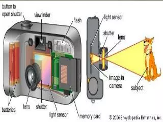
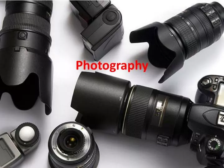
Geographic photography • Geographers have to use many tools in their field of work. • Where recording data in written form is too time consuming, photography is often used, this is because it is much simpler compare. • Photos are relatively inexpensive
Oblique photography • Oblique, also known as oblique aerial photography. • These photos are taken from a high point, which is at an angle neither horizontal. • It is kept purposely tilted from the vertical by a specified angle
Aerial photography • An aerial photo is also known as aerophotography. • An aerial photo is defined as the making of photographs of the ground surface from an aircraft, spacecraft, or rocket. • These photos are particularly helpful in city planning
Ground level photography • Ground level photos are photos that are taken from ground level. • The camera can either be placed within a few inches of the ground • However the photo can also be taken from a standing postion.
Satellite images • Satellite images are defined as Satellite imagery consists of photographs of Earth or other planets made by means of artificial satellites. • These type of photos are generally used for revealing weather information. • Flow of water vapour • Movement of frontal systems • Development of tropical systems
Todays activity • Today you are going to create a photographic essay. • A photographic essay is similar to a written essay except you use photos to tell the story. • You are to tell the story of the Yanomami people up to where we are in this study. • I am going to provide you with an example • You must use PowerPoint to complete this task • With every photo you must annotate, what is the photo of and what type of photo it is.
Activity • These are the topics we have looked at in class and you need to use on the essay • Location • Housing • Family • Food • Intruders • Government support • You must cover all these topics. • The notes we have used are on the wiki spaces and you may need to look over previous work to complete this task.
Example • South America • Satellite image
Example • South America • Amazon rainforest boundary • Satellite image
Example • Yanomami legal territory
Example • Amazon rainforest • Oblique aerial
Example • Shabono • Oblique aerial
Example • Inside the shabono • Family boundaries • Ground level photo
Example • Yanomami garden • 80% of all food comes from the garden • Ground level photo
Example • Yanomami hunting • Ground level photo
Example • Yanomami fishing • Ground level photo
Example • Illegal miners in Yanomami territory • Ground level photo