Download
1 / 9
90 likes | 104 Views
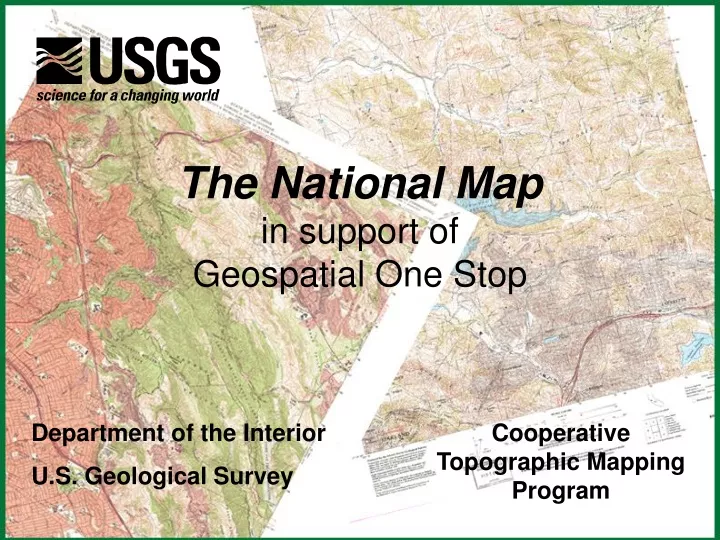
The National Map in support of Geospatial One Stop. Cooperative Topographic Mapping Program. Department of the Interior U.S. Geological Survey. One Stop Solutions - Digital Orthoimagery. Module One – Standards Build on existing standards FGDC Content Standard for Digital Orthoimagery

E N D
The National Mapin support ofGeospatial One Stop Cooperative Topographic Mapping Program Department of the Interior U.S. Geological Survey
One Stop Solutions - Digital Orthoimagery • Module One – Standards • Build on existing standards • FGDC Content Standard for Digital Orthoimagery • ISO 19123, Schema forCoverage Geometry • FGDC Content Standard for Geospatial Metadata • FGDC Content Standard for Digital Geospatial Metadata: Extensions for Remote Sensing Metadata
One Stop Solutions - Digital Orthoimagery • Modules Two and Three- Inventory • Online Sales Data Base • NDOP Planning Process • High Resolution State Partnerships • 133 Urban Areas (high res)
One Stop Solutions - Digital Orthoimagery • Module Four- Web Based Services: • Partnership-based program designed to build integrated Federal, State and Local services (utilizing organizationally and physically distributed linked servers) • Open interoperable interfaces being pursued, prototyped and implemented • Program evolving current TerraService
One Stop Solutions - Digital Orthoimagery • Module Five- Portal Services • TerraServer experience • Prototype portals accessing multiple sources via OGC web interfaces • Pursuing CRADAs and OGC Interoperability Initiatives