Download
1 / 7
70 likes | 75 Views
Explore how Rutgers University's COOL Room utilizes ocean observing technologies and satellites to provide real-time data for Coast Guard rescuers, fishermen, emergency planners, and scientists to assist in search and rescue operations. Learn how Surface Current Radars and Underwater Robotic Gliders help predict hazardous spills and aid in emergency response. Discover the importance of Ocean Weather Models and Forecasts in creating accurate data for use in Coast Guard SAROPS Tool.

E N D
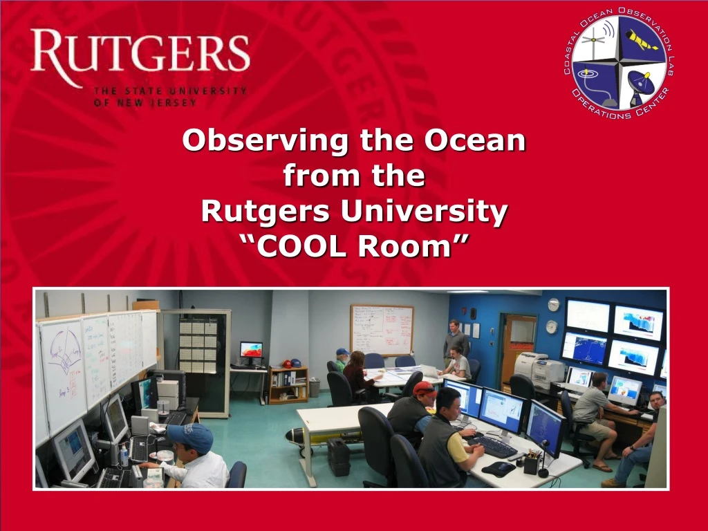
COOL Ocean Observing Technologies Satellites in Space Surface Current Radars Underwater Robotic Gliders
What is Ocean Data Used For? Ocean Weather Models and Forecasts Is used to create Real-time Ocean Data That are used by: • Coast Guard Rescurers • Fishermen • Emergency Planners • & Scientists
Using COOLroom data to assistSearch & Rescue andEmergency Response
The Problem When a ship is in distress, how do you figure out where to send rescuers? http://www.uscg.mil/news/PerfectStorm/Realstorm.html When a hazardous spill occurs, how do you know were the spill will drift? http://response.restoration.noaa.gov/gallery_catalog.php
The CODAR Surface Current Network A network of beach antennas along the entire Mid-Atlantic coast is able to measure ocean surface currents out to a range of 200km. Receiver Antenna Transmitter Antenna
The Future • Using Real-time Ocean • Data will: • Save Time • Save Money, and • Save Lives Coast Guard SAROPS Tool