Download
1 / 15
150 likes | 278 Views
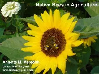
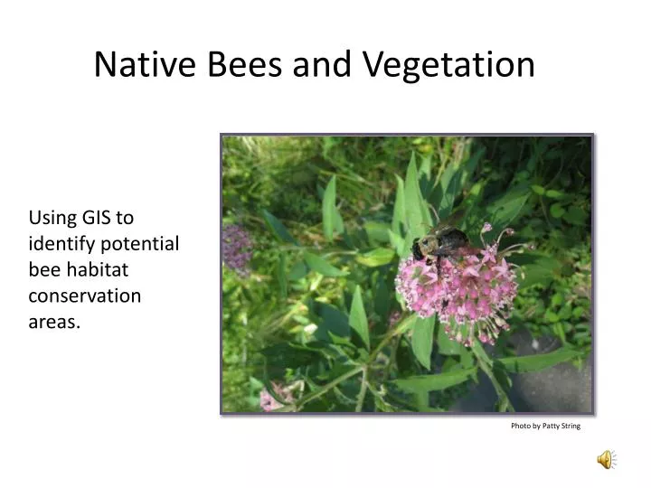
Native Bees and Vegetation. Using GIS to identify potential bee habitat conservation areas. Photo by Patty String. Executive Summary. In April 2003, researchers from the Patuxent Wildlife Research Center conducted a field study of native bees. Goals of this GIS Analysis:

E N D
Native Bees and Vegetation Using GIS to identify potential bee habitat conservation areas. Photo by Patty String
Executive Summary • In April 2003, researchers from the Patuxent Wildlife Research Center conducted a field study of native bees. • Goals of this GIS Analysis: • Review the relationship between bee populations and vegetated habitats. • Identify potential conservation areas.
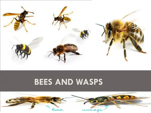
Introducing Native Bees • Not honeybees! • Approximately 4,000 species of native bees in North America. • Important role as pollinators and in the food chain. • Solitary nesting; often in the ground. • Suspected threats: lack of nesting habitat / agricultural practices.
The Field Study • Fort Washington Park • Fort Washington, Maryland • April 2003 Blue pan trap Photo by Patty String Yellow, blue and white pan traps (“bee bowls”) were set out in varying vegetated areas . GPS used to record the locations of the study sites. Bees were captured, processed and identified.
GIS Data • Excel spreadsheet of Bee Field Data • USGS Seamless Website Maps • National Park Boundaries • Fort Washington Park Aerial Photo • National Land Cover Data 2001 (NLCD 2001) • Environmental Protection Agency (EPA) • NLCD 2001 Classification Descriptions
GIS Data Fort Washington Map Data • Downloaded Land Cover Data, Park Boundaries and Orthophotography aerial photo. • Edited Land Cover Data Descriptions. • Edited Park boundaries to Fort Washington Park. • Layers / Projected to UTM 18N. • Exported data as shapefiles. • Imported all shapefiles to personal geodatabase. Patuxent Wildlife Research Center (PWRC) Native Bee Field Study Data • Created .dbf for bee numbers, bee species, most common species of bee found in the study area. • Tools / XY Data. • Events Files. • Exported as shapefiles. • Shapefiles imported to personal geodatabase.
Most Common Bee Captured Site 8 -Herbaceous Wetland Site 11 – Deciduous Forest Site 9 - Woody Wetland
Further Research • Continued Fort Washington field work to gather data for other months. • Sample targeted vegetative areas in other locations. • Review population growth / development trends to conservation efforts