Download
1 / 17
170 likes | 205 Views
Explore CX3 Tier 2 Training on mapping neighborhood health factors with cutting-edge tools to address obesity prevention. Understand the link between neighborhood environments and health outcomes through standardized indicators and benchmarks. Discover how CX3 works through GIS mapping, store surveys, walkability assessments, and more. With CX3, your perspective on community health will transform, leading to actionable insights for positive change.

E N D
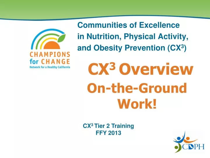
On-the-Ground Work! CX3 Overview Communities of Excellence in Nutrition, Physical Activity, and Obesity Prevention (CX3) CX3 Tier 2 Training FFY 2013
Neighborhoods Matter Research: Clear connection between neighborhood factors and health outcomes
CX3 – How does it work? Standardized Indicators/Benchmarks Tools & Methods Real world data
CX3 Data– Mapping (Tier 1) #1: Mapping GIS, cutting-edge public health tool; Web searches Completed!
CX3 Data– Survey (Tier 2) #2: On-the-Ground –FUN Stuff In-depth look at nutrition factors • Neighborhoodfood stores • Supermarkets to Convenient Stores • Walkability • Fast Food outlets • Fast Food chains and non-chains
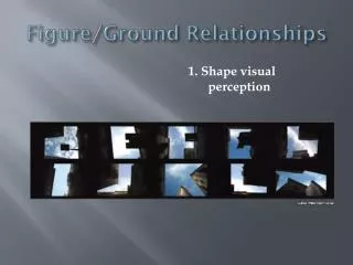
Neighborhood food stores… What will yousee???
After survey work… And you will never look at things the same…
CX3 Team • Alyssa Ghirardelli, RD, MPH • 916.449.5342, Alyssa.Ghirardelli@cdph.ca.gov • Lynn Fuhrman • 916.552.9862, Lynn.Fuhrman@cdph.ca.gov • Betty Sun, MS, RD • 916.449.5386, Betty.Sun@cdph.ca.gov • Chris Bilbrey, MS, RD, CLE • 916.319.9809, Christine.Bilbrey@cdph.ca.gov • CX3 Website: • http://www.cdph.ca.gov/programs/cpns/Pages/CX3_Main_Navgation.aspx