Download
1 / 6
60 likes | 181 Views
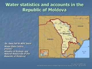
Collecting, Processing and Distributing of Water Statistics in the Republic of Belarus. Zhanna Vasilevskaya, Belarus International Work Session on Water Statistics, Vienna, June 20-22 2005. General information on water resources in Belarus. Watershed for basins of the Black Sea and Baltic Sea

E N D
Collecting, Processing and Distributing of Water Statistics in the Republic of Belarus Zhanna Vasilevskaya, Belarus International Work Session on Water Statistics, Vienna, June 20-22 2005
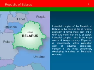
General information on water resources in Belarus • Watershed for basins of the Black Sea and Baltic Sea • 20.8 thousand rivers to the total length of 90.6 thousand km of which rivers of the Black Sea accounts 55% of annual water discharge and the Baltic Sea – 45% • 10.8 thousand lakes and over 9,000 bogs • 59% of river flow is formed within the country and a water inflow from the territories of neighboring countries (Russia and the Ukraine) reaches 41%
Information and National Statistical Reporting • 2-rs (water) – all water users: industrial, building, transporting, agricultural and other enterprises, organizations and institutions, legal entities and physical persons • 2-rs (waste) – all entities that have an independent budget and at which production and consumption wastes are accumulated and utilized
data characterizing quantitative state of water resources • data characterizing qualitative state of water
The first group combines statistical indicators for the quantitative assessment of water resources.
The National Water Cadastre The Surface Water Cadastre contains data on: • The hydrological, hydrochemical and hydrobiological state of water bodies (rivers, canals, lakes, reservoirs and ponds); • Monitoring stations and periods over water bodies; changes in the hydrographic network under the influence of economic activities; • The hydrographic and morphological specifications of water bodies and their watersheds, i.e. monitoring over the level and temperature of water, water discharges, sediment formation, ice thickness, thermal stores of reservoirs, the chemical and biological composition of water. The Ground Water Cadastre covers information on: • operational stores and possible groundwater resources; • monitoring stations over ground waters (wells, springs, shaft wells); • data on the regime of ground waters (level, temperature, quality, selection), their chemical and biological composition. The Natural Resources Use Cadastre is made up of data on: • - Location and major parameters of withdrawals waste discharges, treatment facilities, reservoirs and ponds; • in-channel water use (recreation, fishery, water transport, hydropower); • withdrawals and discharges by qualitative and quantitative indices (data on users’ statistical reporting and hydrochemical sewage analysis); • the operating regime of big withdrawals and reservoirs; • Irrigated, drained as well as wetted areas.