Download
1 / 8
80 likes | 179 Views
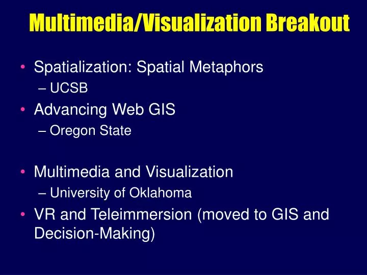
Multimedia/Visualization Breakout. Spatialization: Spatial Metaphors UCSB Advancing Web GIS Oregon State Multimedia and Visualization University of Oklahoma VR and Teleimmersion (moved to GIS and Decision-Making). Spatialization.

E N D
Multimedia/Visualization Breakout • Spatialization: Spatial Metaphors • UCSB • Advancing Web GIS • Oregon State • Multimedia and Visualization • University of Oklahoma • VR and Teleimmersion (moved to GIS and Decision-Making)
Spatialization • Tranformation from multidimensional non-geographic to lower-D spatial • Information spaces • Cognitively inadequate • Do they really look like maps? Can they be understood? • Computationally inefficient • Generalization through semantic abstraction • “10 + 4” • Cognition, Extensions to Rep., Scale • Geographic Visualization, Data Mining, Ontology
What’s the meaning of “scale” in non-geographic information visualization?
Simultaneous Overlay of Multiple Cluster Levels to Support Domain Comprehension
“Web GIS” • Recent phenomenon in U.S., “hot topic” • LBS in Europe • Should not just be transfer of 2-D desktop to web • Outputs of spatialization - cognitive, computational • Data models, data structures different? • Performance measures, usability • Institutional issues/ethics of access, distribution • collaboratories • “10 + 4” • Distributed & Mobile Computing, Interoperability, Scale, GIS & Society, Data Integration • Geographic Visualization, Data Mining, Ontology, GeoComp
Conclusion 1 • Spatialization as a standalone challenge • Different from Geographic Viz challenge • GISci research applied to non-geographic data • Multidimensionality • e.g., 1000 dimensions to 2 or 3 but no 2-D reality to compare to • Information visualization • Cognitive, computational • If not standalone… • Should be explicit in DM/KD and Geographic Viz
Conclusion 2 • “Web GIS” standalone b/c so cross-cutting? Timely? • Revisit and fold into Distributed & Mobile Computing to update that challenge to… “Distributed, Mobile, Location-Based, Cyber GIS”? “Telegeoprocessing”? --> Pervasive GIS