Download
1 / 23
230 likes | 374 Views
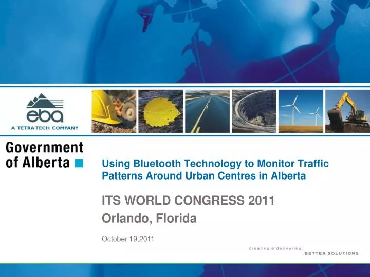
Using Bluetooth Technology to Monitor Traffic Patterns Around Urban Centres in Alberta. ITS WORLD CONGRESS 2011 Orlando, Florida. October 19,2011. Presentation Guide. Background Bluetooth detection technology Privacy issues Red Deer Cordon Study Lessons learned Calgary Stoney Trail Study

E N D
Using Bluetooth Technology to Monitor Traffic Patterns Around Urban Centres in Alberta ITS WORLD CONGRESS 2011 Orlando, Florida October 19,2011
Presentation Guide • Background • Bluetooth detection technology • Privacy issues • Red Deer Cordon Study • Lessons learned • Calgary Stoney Trail Study • Cost effectiveness • Summary of findings and other considerations October 19, 2011
Background • Government of Alberta investment to construct highway infrastructure around major urban centres • Major ring roads around Calgary and Edmonton • Stoney Trail • Anthony Henday Drive • Subsequent requests for provincial funding • City of Red Deer • Traffic data on provincial highways is mostly limited to volume and vehicle classification; does not include information concerning travel time and origin-destination October 19, 2011
Province of Alberta Edmonton Red Deer Calgary Source: Natural Resources Canada October 19, 2011
Background • A portion of Stoney Trail was opened in November 2009 16 Avenue NW to 17 Avenue SE forms a semi-circular freeway • Questions raised by public and stakeholders • Red Deer regional highway network study • Origin-destination study performed in 2009 that utilized Bluetooth detection technology • The success of the Red Deer trial encouraged Alberta Transportation to look at opportunities to monitor traffic flow on the existing ring roads • Stoney Trail study initiated to monitor traffic flow and address questions October 19, 2011
Bluetooth Detection Technology • Open wireless telecommunications industry specification • Short-range radio waves • Transmission range up to 100 metres • Media Access Control (MAC) address • Continuous transmission • Inquiry mode • GPS timestamp Data record example: October 19, 2011
Privacy Issues • Privacy Impact Assessment for traffic monitoring was conducted • Examine and address any privacy concerns • Monitoring is strictly for determining traffic flows and patterns, and anticipating future transportation needs • Unauthorized use of personal information is very unlikely • Alberta Transportation does not have the database required to link a MAC address to an individual’s identity October 19, 2011
Red Deer Study • Feasibility of ring road • Two or more major roads flowing through the urban centre • North-south corridors; Highways 2 & 2A • East-west corridors; Highways 11, 11A & 595 • Traffic flow around Red Deer was monitored by detecting vehicles with Bluetooth enabled devices • Strategic placement and organization of the detection points • Sorting MAC addresses • Use of GPS timestamp • Origin-destination data and travel speeds were determined October 19, 2011
Red Deer Study • Highway 2 • Range Road 273A • Highway 2A • Highway 11 • Highway 595 • 30 Avenue • 40 Avenue • Highway 2 • Highway 2A • 32 Street • Highway 11 • Highway 11A October 19, 2011
Red Deer Study • Locations selected that historically have the highest traffic volumes entering and exiting Red Deer • Traffic data on the provincial highways is collected through permanent Automated Traffic Recorders (ATR) • Loops embedded into the road surface • Operational 24 hours a day • ATR counts supplemented by short term traffic counts • Volumes between sites are a representative sample of the overall traffic volumes • Traffic monitors deployed for a 14-day (336 hours) period October 19, 2011
Red Deer Study • Bluetooth detection at the various sites ranged from 2% to 6% of the overall traffic volumes • A total of 54,582 Bluetooth enabled devices were detected; average of 3.7% of the total traffic volume • Total factored volume equates to approximately 1.49 million vehicle trips • Study findings used to determine trip types • Through (or bypass); detection by two monitors within a certain time window • Through-stop; detection by two monitors with a noticeable lapse in time difference • Local; only one monitor detects a MAC address (typically in a 24-hour period), same entry/exit, use another route not monitored October 19, 2011
Red Deer Study • Major north-south corridor • No major east-west corridor October 19, 2011
Lessons Learned • Orientation of monitor related to placement of battery • Battery can interfere with the short radio waves • Monitors placed such that the unit points towards the adjacent travel lanes of interest • Retrieval of the data is done through manual download from the storage media (chip card) RUGGED TEXTURE ENCLOSURE BATTERY BLUFAX UNIT • Monitors installed at locations by securing to existing roadside furniture or appurtenances • During study period two monitors failed • Failure attributed to vandalism attempts to tamper with the equipment CHARGE REGULATOR October 19, 2011
Lessons Learned • Monitor housing revised allowing placement of the Bluetooth unit above the battery • Equipped with wireless telecommunications to allow remote data retrieval • Deployed above ground; attached to roadside furniture/appurtenances that are more inconspicuous and less inviting for individuals to tamper with the equipment; the monitor now appears as any other traffic operations equipment October 19, 2011
Calgary Stoney Trail Study • Northwest, northeast, southeast and southwest sections • Northeast and portion of northwest Stoney Trail was opened in November 2009 • 16 Avenue NW to 17 Avenue SE forms a semi-circular freeway; 45.7 km in length • Assessing volume of traffic utilizing the ring road and seek to address questions raised • 31 initial deployment locations were chosen but one site (Airport Trail, site 25) not included as the interchange and connection between the City streets has not yet been completed October 19, 2011
Calgary Stoney Trail Study October 19, 2011
Calgary Stoney Trail Study • Monitors were operational for one week (168 hours) • Nearly 390,000 Bluetooth detections were recorded • Data was filtered to remove unmatched MAC addresses and pairs where the time stamp duration exceeded a reasonable time period • Total of 64,704 Bluetooth origin-destination pairs crossed one or more of the four permanent ATRs • Volume recorded at the ATR sites was 877,006 vehicles • Bluetooth detection at the various sites ranged from 6% to 9% of the overall traffic volumes; average 7.4% • An estimated 303,740 vehicle trips interacted with Stoney Trail October 19, 2011
Trip Type Daily Volume Proportion Regional 20,750 7.0% U rban 32,260 11.5% Penetrator 165,960 54.5% Z igzag 81,770 27.0% Total 303,740 100% Calgary Stoney Trail Study October 19, 2011
Cost Effectiveness of Monitoring • Bluetooth detection technology provides a sample of the actual traffic flow • Red Deer study, detection rates ranged from 2% to 6% • Stoney Trail study, detection ranged from 6% to 9% • Critical to measure actual traffic volumes during the study period • Stoney Trail study: the use of Bluetooth proved to be cost effective compared to manual observation October 19, 2011
Summary & Considerations • Red Deer study premise: determine whether traffic flow around the City would warrant further investigation into the feasibility of a ring road • Allowed traffic flow and patterns to be observed • Findings suggest that a ring road not warranted at this time • Alberta Transportation can focus their attention and funds on other infrastructure priorities • Stoney Trail study purpose: provide an objective observation of the operation of the ring road • Provide benchmarks when reviewing the results of travel demand models built to estimate future ring road traffic • Provide an indication of traffic patterns and characteristics to be observed at other urban areas requesting a ring road October 19, 2011
Summary & Considerations • From the data collected, it appears that the main purpose of a ring road is to serve commuter traffic • Bypass (through or regional) trips represent a small proportion of all trips observed • External traffic with Calgary as the origin or destination, accounts for 82% of the traffic observed • Regional travel is significant but minor in comparison to direct commuter traffic • The need for ring roads at other urban centres may be further away than currently anticipated October 19, 2011
Summary & Considerations • Not all questions or concerns raised have been fully addressed due to the partial construction of Stoney Trail • As completion of the ring road nears, more benefits will be seen and perhaps quantified • Stoney Trail provides drivers with more alternatives to get to their destination • Redistribution can delay the need to provide: • capacity improvements to existing infrastructure • detour options around other construction activities • Higher design and construction standards provide improved safety for all road users October 19, 2011
Thank You Paul Steel, M.Eng., P.Eng. Transportation Engineer EBA, A Tetra Tech Company psteel@eba.ca 403.723.6881 Any Questions? Peter Kilburn, P.Eng., M.Sc.E. Planning Specialist Alberta Transportation peter.kilburn@gov.ab.ca 780.415.1359 October 19, 2011