Download
1 / 12
120 likes | 133 Views
This investigation presents the analysis, findings, and architecture recommendation for integrating Sentinel-2 data with Landsat. The summary includes implementation tiers, options for improving user experience, and suggestions for ESA consideration.

E N D
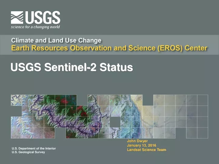
USGS Sentinel-2 Status John Dwyer January 13, 2016 Landsat Science Team
USGS Plans for Sentinel-2 Data • Presented Investigation Summary “Sentinel-2 Augmentation to Landsat Data Record” to Land Remote Sensing Program October, 2014 • Scope and Ops Con assumptions used for analysis • Investigation Analysis & Findings • Architecture Recommendation & Implementation Summary • Risks & Considerations • Work packages and associated cost estimates • Collaborating with NASA on pre-flight calibration to data characterization to define Science data processing to ensure Landsat and Sentinel-2 data synergy
Implementation Tiers and Options • Implementation Tiers: • Tier 1: EROS will pull a copy of all L1C data from ESA, create single tile based products from ESA multi-tile based products, host a copy at EROS, generate a Full Resolution Browse (FRB) and enable basic data discover capabilities (no other processing included) • Tier 2: In addition to Tier 1, add a minimal amount of processing necessary to increase usability of the data, including reformatting data to be more consistent with Landsat Level 1 and resampling the Level 1C data to a 30m common grid and tiling scheme (Landsat-like) for distribution as an on-demand Landsat-like product • Tier 3: This is a separate and parallel scenario to Tier 2 to render the MSI data interoperable with Landsat and significantly increase the usability/utility of the data for research/applications and makes the data as seamlessly similar as possible to Landsat data for the user (feasibility pending and therefore, not yet estimated) • Additional defined options: • Option 1: Increased disk cache for S2 to 360 days and added 10% each year to improve user experience • Option 2: Generate surface reflectance products from S2 data and archive and distribute to the public (currently assuming use of NASA Ames Research Center (ARC) for processing SR data) • Option 3: Provide coincident search and discovery of both inventories (Landsat & S2) simultaneously in EarthExplorer and provide aggregated results (feasibility pending and therefore, not yet estimated) • Scope and Schedule remain contingent upon available funding
USGS suggestions for ESA consideration • Populate the International Data Hub with L1C products • Provide USGS Internet 2/GEANT access to International Data Hub L1C products • Provide automated access to L1C products for the International Data Hub • Similar to API that is available on the Science Data Hub • Increase number of concurrent connections allowed per user id • Provide Database reconciliation tools for the International Data Hub • Provide tile based rather than bundled tile L1C products • Shorten file naming convention for L1C products • Provide Network and other Technical POC’s in support of Inter-Agency agreements
Feedback topics for LST consideration • Examples: http://edcftp.cr.usgs.gov/edcuser/cgacke/Sentinel2/ • ESA_Sample folder – original ESA zip file in SAFE format • Contains 12 Granule (Tile) folders • Tiles_Samples folder – 12 separated tiled products • FRB_Samples folder – 12 FRB representing the tiled products • Comments and/or suggestions on sample L1C tile based products • Please look at the sample S2 products. USGS plans to provide a different download format for the Sentinel-2 product. The ESA product is a SAFE (Standard Archive Format for Europe) format with multiple tiles of S2 products in a JPEG2000 format contained within it. This download format can result in a very large file size. The USGS will provide single tiles in the same JPEG2000 format along with the necessary XML metadata files in a .zip file. • Comments and/or suggestions on the sample Full Resolution Browse products • Examples: http://edcftp.cr.usgs.gov/edcuser/cgacke/Sentinel2/ • Please look at Full Resolution Browse Sample products. This product mimics the Landsat FRB. USGS is considering implementing a tool similar to LandsatLook (https://landsatlook.usgs.gov) for the Sentinel-2 products.
Feedback topics for LST consideration • Examples: http://edcftp.cr.usgs.gov/edcuser/cgacke/Sentinel2/ • Sample is from October 21, 2015 and crosses the Oregon and California border. • ESA_Sample folder – original ESA zip file in SAFE format • Contains 12 Granule (Tile) folders • Sample is ~700 mb in size, many of ESA products are 3 to 7 gb in size. • Tiles_Samples folder – 12 tiled products • Includes ESA’s metadata such as the product and data strip xmls along with terms and condition link within a text file. • The AUX_DATA folder contains a binary European Centre for Medium-Range Weather Forecasts (ECMWF) file, ~800 bytes. • FRB_Samples folder – 12 FRB representing tiled products • Bands 11, 8a and 4 as RGB • TOA scaled to 8-bit at 20-m resolution • 75% compression • Gamma value of 2 (following Landsat FRB documented requirements)
Feedback topics for LST consideration • Path name too long for Windows to unzip (Linux no issue) • Limit of 260 characters • Requires Winzip, 7-zip or similar software • File Names too long • Unnecessary info • Proposed example – could be S2A_L1C_TTTTTT_YYYYMMDD_YYYYMMDD_VV.zip • TTTTTT is MGRS UTM tile grid system • 1st YYYYMMDD is acquisition date • 2nd YYYYMMDD is production date • VV is a version number • Tiled product not in the SAFE format • Changing the file naming convention at USGS complicates file structure convention and impacts internal metadata within all xml files. • ESA has expressed changes to Sentinel-2 products in 2016 per customer feedback.
Product.zip Sentinel 2 – ESA Product Structure Product Product.SAFE AUX_DATA Datastrip Granule HTML REP_info INSPIRE.xml Manifest.safe Product.xml Banner 1 Image Datastrip number Tile folder Banner 2 Image S2 User Product Level-1C Metadata xsd file Banner 3 Image AUX_DATA IMG_DATA QI_DATA Tile.xml Star background Format Correctness.xml Tile#_band1.jp2 – Tile#_band12.jp2 (13 jp2 files) Datastrip.xml QI_DATA Format Correctness.xml User Product Index HTML General Quality.xml General Quality.xml User Product Index XSL Stylesheet Geometric Quality.xml Geometric Quality.xml Sensor Quality.xml What is included in each Sentinel 2 Tile bundle? • The .zip file will contain: • The tile folder with all the specific tile information • Metadata folder • The datastrip folder from the tile’s product folder • The product xml file • The HTML folder from the tile’s product folder • Citation – The Sentinel Data Terms and Conditions txt file Radiometric Quality.xml gml files for each band Sensor Quality.xml jp2 file
Sentinel 2 – USGS Tile Product Structure Tile Entity ID Metadata folder Citation.txt Tile folder HTML IMG_DATA Banner 1 Image QI_DATA Tile.xml AUX_DATA Datastrip Product.xml Banner 2 Image Format Correctness.xml Tile#_band1.jp2 – Tile#_band12.jp2 (13 jp2 files) Banner 3 Image Datastrip number General Quality.xml Star background Geometric Quality.xml User Product Index HTML Sensor Quality.xml Datastrip.xml QI_DATA User Product Index XSL Stylesheet Format Correctness.xml gml files for each band General Quality.xml jp2 file What is included in each Sentinel 2 Tile bundle? • The .zip file will contain: • The tile folder with all the specific tile information • Metadata folder • The datastrip folder from the tile’s product folder • The product xml file • The HTML folder from the tile’s product folder • Citation – The Sentinel Data Terms and Conditions txt file Geometric Quality.xml Radiometric Quality.xml Sensor Quality.xml