Download
1 / 5
70 likes | 284 Views
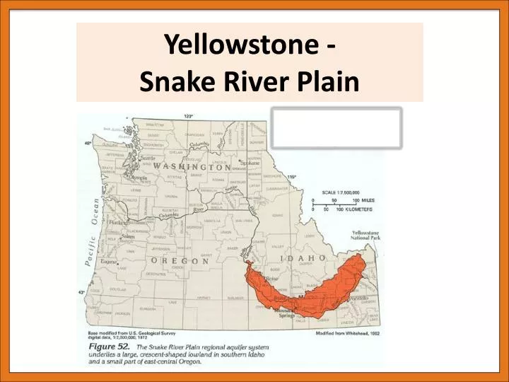
Yellowstone - Snake River Plain. Geography. -Topographic depression, elevation 900- 1525m, increasing in elevation as you move east -ESRP is 600 km long, ~100km wide -WSRP is 300 km long and 70 km wide.

E N D
Geography -Topographic depression, elevation 900- 1525m, increasing in elevation as you move east -ESRP is 600 km long, ~100km wide -WSRP is 300 km long and 70 km wide -Snake River Valley is comprised of two sections. The Western is a fault bounded graben while the Eastern section is a downwarp due to weight of volcanic material Climate Due to the Yellowstone hotspot, there is a 110km wide gap through the Rockies creating a moisture channel that brings moisture from the Pacific to Yellowstone, where it meets increasing elevation and therefore rains out. This results in Yellowstone having a very wet climate and lots of snow in the winter.
Surface Geology Volcanism present from two main sources, hotspot and decompression of lithosphere due to rifting. Melting from rifts allowed for extensive dikes to cause further rifting. Basalt plains, Pleistocene and Pliocene. Associated with volcanic rifting Felsic (upper Miocene to Pleistocene, 14-12Ma to 0.6Ma): rhyolitic domes, flows, and tuffs. Associated with hotspot Alluvium Basalt, mid to late Miocene
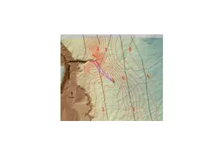
Seismic Velocities and Gravity -WSRP velocities of Vp=~6.7km/s -WSRP velocities of Vp=<5.5km/s -Velocities of seismic waves travel faster through more rigid material -High gravity anomaly due to dense layer of basalt