Download
1 / 26
260 likes | 399 Views
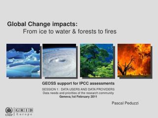
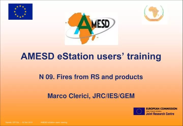
AMESD eStation users’ training N 09. Fires from RS and products Marco Clerici, JRC/IES/GEM. Contents. Introduction (Fires in Africa) Fire Products from RS: Active Fires and Burnt Areas VGT4Africa products: Burnt Areas and ActiveFires LSASAF-Active Fires products

E N D
AMESD eStation users’ trainingN 09. Fires from RS and productsMarco Clerici, JRC/IES/GEM
Contents • Introduction (Fires in Africa) • Fire Products from RS: Active Fires and Burnt Areas • VGT4Africa products: Burnt Areas and ActiveFires • LSASAF-Active Fires products • Modis Products: Burnt Areas and Active Fires (FIRMS) • Conclusions
Introduction Fire information steps • (i) before fires: fire risk assessment • (ii) during fires: detection of active fires. • (ii) after fires: evaluation of burned surfaces
Introduction Total annual burned area estimated at 2.6 million km2 > 300,000 burn scars detected
4 months 4, 6 & 8 months 6 months 6 months 4 situations ! 4 months Duration of the fire season in African protected areas (Year 2000)
Area burnt globally in 2000 and seasonal distribution: the GBA2000 product source: Tansey et al., 2004, Climatic Change, 67
Fires from Remote Sensing • How can we detect a Fire from Space ? • 1. A fires emits a very strong radiation in certain spectral bands (Active Fires). • 2. A burnt area has a ‘specific’ spectral signature (Burnt Areas).
Fires from Remote Sensing (Active Fires) The radiation emitted by an object depends on its temperature (T), according to the Plank Function. The higher the T:- higher the total Emittance.- smaller the wl(max)
VGT4Africa Products • SPOT/VGT instrument has been used to: • Create the GBA2000 Map (static product) • Implement an operational BA product. • Study the feasibility of an Active Fire product.
VGT4Africa Products • Burnt Areas product: GDBA algorithm • Pre-processing: mask some pixels, due to: cloud and snow, viewing angle, fire smoke/thin cloud • Processing: from bands B2, B3 and MIR derive a daily BA ‘probable’ product, using the ‘Spectral index change algorithm (IFI)’ • Post-processing: Synthesis (10 days, 0.5x0.5 degrees) and Detection of seasonality (including First Day Of Burnt - FDOB).
VGT4Africa Products • The output is a dekadal file: • VGT4AFRICA_BA_YYYYMMDD_Africa.zip • Containing (among others): • - YYYYMMDD_BA.HDF: the image of detected burnt areas • - YYYYMMDD_BAE.HDF: the image of end of season • - YYYYMMDD_BAS.HDF: the image of start of season • YYYYMMDD_BAM.HDF: the image of the date of the max of season • - YYYYMMDD_BAF.HDF: the image of flag for the seasonality
VGT4Africa Products Start of season, as observed on 2002/06/21.
LSASAF Product • An improvement on fire detection • Threshold Technique
LSASAF Product • The product (FIRA) is distributed from EumetCAST in NRF: • Pixel Format (satellite projection) • Not yet ingested nor processed on the eStation.
MODIS Products • Two products (FIRA) are generated from MODIS instrument: • MCD45A1: Burnt Areas (in HDF and GeoTIFF format) • MCD14DL: Active Fires (in text format)
MODIS Products: MCD45A1 • MCD45A1:MODIS level 3 Monthly tiled burned area product Tiling Scheme of the HDF product Filename:MCD45A1.A2000306.h16v07.005.2006360205845.hdf
MODIS Products: MCD45A1 • Contents of the product: • Burndate: 0 unburnt • 1-366 - approximate Julian day of burning • BA pixel QA: Confidence of the detection: 1 (most confident) to 4 (least confident)
MODIS Products: MCD45A1 Geografic sub-sets of the GeoTIFF product
MODIS Products: MCD14DL • It is a simple text file containing the location (lat/long) of the active fires. • It is generated by the FIRMS Service and finalized in NRT (two days delay maximum). • Can be retrieved from the internet.