Download
1 / 24
240 likes | 351 Views
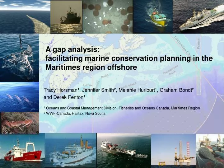
A gap analysis: facilitating marine conservation planning in the Maritimes region offshore. Tracy Horsman 1 , Jennifer Smith 2 , Melanie Hurlburt 1 , Graham Bondt 2 and Derek Fenton 1 1 Oceans and Coastal Management Division, Fisheries and Oceans Canada, Maritimes Region

E N D
A gap analysis: facilitating marine conservation planning in the Maritimes region offshore Tracy Horsman1, Jennifer Smith2, Melanie Hurlburt1, Graham Bondt2 and Derek Fenton1 1 Oceans and Coastal Management Division, Fisheries and Oceans Canada, Maritimes Region 2 WWF-Canada, Halifax, Nova Scotia
ESSIM context • Stakeholder agreement on plan • Role: the aim of the Plan is to augment or enhance existing decision-making processes by linking sector planning and management to an overarching set of goals and objectives.
Action plans • To implement the objectives and strategies of the ESSIM Plan. • Shorter term (2-3 yr) • Higher level of detail, i.e.: • Roles and responsibilities • Timelines, milestones, targets • Specific activities • may be • sector-based • Issue-based • Collaborative/cross-sectoral
Spatial Conservation Action Plan The intent of the Action Plan is to support a collaborative process to advance spatial conservation planning on the Scotian Shelf by • Recognising/building on existing managed areas • Identifying options for filling conservation gaps
Action Plan Goals • Define and build common understanding of spatial conservation planning • Synthesize existing information on areas of conservation value and existing sites • Assess the contribution of existing managed areas and identify gaps in conservation efforts. • Identify areas of conservation priority and make recommendations for action • Inform ongoing initiatives (ex. MPA Action Plan) and steward implementation
Gap analysis • An analysis of the extent to which species, natural communities, ecological systems and the ecological processes that sustain them are represented in a protected area network • Well-accepted tool in conservation planning • What proportion of each conservation feature/habitat type falls within each level of protection?”
Conservations features – distinctive areas • EBSAs – uniqueness, aggregation, fitness consequences, resilience, naturalness. • Greater than usual degree of risk aversion. • DFO process, science-led. OAP Phase 1 Science deliverable in support of IM • Scientific expert opinion workshop
Seabed feature classification • Concept of representation • Physical features that influence characteristics of communities/ecosystems • Gordon Fader, commissioned by WWF • General, intuitive, based on consensus, intended to be used as an interim classification tool
Existing managed areas inventory • Range of tools, agencies • legislative / regulatory / voluntary • No comprehensive inventory
Gap classification map P r e l i m i n a r y
Existing Protection for EBSAs P r e l i m i n a r y
Existing Protection for the Major Shelf Areas P r e l i m i n a r y
Existing Protection on the Banks P r e l i m i n a r y
Existing Protection for the Basins P r e l i m i n a r y
Existing Protection for the Scotian Slope P r e l i m i n a r y
Existing Protection for Saddle Areas P r e l i m i n a r y
Interpretation • Workshop – share information with stakeholders, refine analysis with new information • Generate discussion on interpretation and implications of gaps • Most significant • Most urgent • Identify options for addressing gaps
Detailing Class 4 P r e l i m i n a r y