Download
1 / 24
240 likes | 340 Views
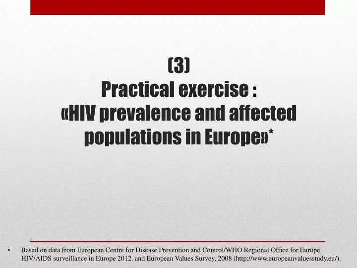
(3) Practical exercise : « HIV prevalence and affected populations in Europe » *.

E N D
(3) Practical exercise : «HIV prevalence and affected populations in Europe»* • Based on data fromEuropean Centre for Disease Prevention and Control/WHO Regional Office for Europe. HIV/AIDS surveillance in Europe 2012. and European Values Survey, 2008 (http://www.europeanvaluesstudy.eu/).
PRE-MAPPING: DATA SET STEP 1 Visit “Geocommons” and download a shape file for Europe. E.g. the shape file with 27 European countries is available at http://geocommons.com/overlays/174267.
Note that a shape file consists of at least 3 files: *.shp (geometric data); *.dbf (attribute data); *.shx (an index to allow faster querying). If you need a shape filefor a certain country (data for provinces, zip-codes etc.), use http://www.diva-gis.org/gdata
STEP 2 For this exsercise, use data set “europe_27_data.dbf” in the folder “Europe” (data on HIV/AIDS indicators). Dbf-file contains spatial variables as well as attribute variables of interest
What if you want to add other variables or need to correct data? Open “europe_27_data.dbf” in OpenOffice (https://www.openoffice.org). Note: Dbf files can be opened with Microsoft Excel but it will not save the file as *.dbf. Excel 2003 or earlier versions save *.dbf files, otherwise you have to export to Access first, or use a third party plug-in. Better use OpenOffice!
If other variables are required, create extra columns in the table and assign labels/values. • If the data for a particular settlement is missing, don’t leave the cell empty. Empty cells are considered as “zeros”. The correct data value for missing values is not “0”, but “Non available”. • It is customary to assign the value of -99 and then use some neutral shading for missing data. • Never add, remove or change the order of the dbf file! • This will ruin the integrity of the shape file.
STEP 3 MAPPING Launchhttp://indiemapper.com/
First, openshp file «europe.shp» fromthefolder «Europe». OPEN -> YOUR data -> Browse for KML/SHP/GPX
Then, add the dbffile filled with data of interest «europe_27_data.dbf». OPEN -> YOUR data -> Browse for DBF… ->Load
STEP 4 Choose what to show on the map and how. Let's make Dot Density Map of HIV new diagnoses in men infected through sex with men (number of cases in 2012).
Should look like this... The map is still far from being eye-catching...
1) Try to change projection. E.g. use “Mercator”.
2) Zoom up the map to see smaller countries. White frame represents the space that will be exported/printed. Turn off the graticule. Click on the eye symbol next to the word “graticule” in the Layers menu.
3) You can adjust colors, intensity, dot size and value in the menu “style: dot density”. Note: the menu is available when the layer with a variable of interest is activated (“HIV_C_HSEX”). E.g., one dote represents 10 cases, the size of the dot is 1, capacity is 100 and the colour is blue.
4) You can modify the style of baseline layer (countries) in the menu “style: areas”. It appears after activation of “Areas” in “Data Sources”. E.g. boundaries’ color can be changed.
5) Page menu allows modification of size, background color as well as rotation.
6) To add a legend, choose: Layout Objects -> Legends Unfortunately, Indiemapper is a poor tool for legend editing. However, this can be done in Inkscape (http://www.inkscape.org/)
Itispossibletoaddandedittextblocks: Layout Objects -> Legends -> Annotation
STEP 5 Try to add new layers to the map. Choose dot density layers forHIV_C_IDU (HIV new diagnoses in persons infected through injecting drug use, cases in 2012) and HIV_C_MSM (HIV new diagnoses in men infected through sex with men, cases in 2012). Add new layers by clicking on the sign “+” in the menu “Data Sources” -> “europe.shp”.
Don’t forget to adjust the size and values of dots (one dot = 10 cases)! Choose redcolor for dots of “HIV_C_IDU” and greencolor for dots of “HIV_C_MSM”. Add new title: “HIV new diagnoses and main ways of transmission in Europe (cases, 2012)” and the source of information: “European Centre for Disease Prevention and Control/WHO Regional Office for Europe. HIV/AIDS surveillance in Europe 2012”. Turn on legend for all layers of indicators.
STEP 6 Export. If you want to correct graphic or legend as well as add signs or infographic, save map as «layered SVG», so you will be able to edit layers in Inkscape, Illustrator or other graphic editors. Otherwise, you can choose JPEG or PNG. export -> GENERATE file -> EXPORT to your COMPUTER