Download
1 / 16
160 likes | 172 Views
This training aligns with Cambodia's Health Strategic Plan and emphasizes the importance of geo-enablement in the Health Information System. Participants will learn to use geospatial data effectively for health research and mapping using tools like QGIS. The agenda covers thematic mapping, GIS practices, and QGIS applications. Facilitators from MOH/DPHI and HGLC will guide the sessions with content from various GIS workshops and resources. Acknowledgments go to ICF, AeHIN, Randal Hale, and sources of GIS definitions.

E N D
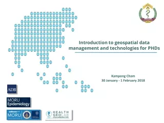
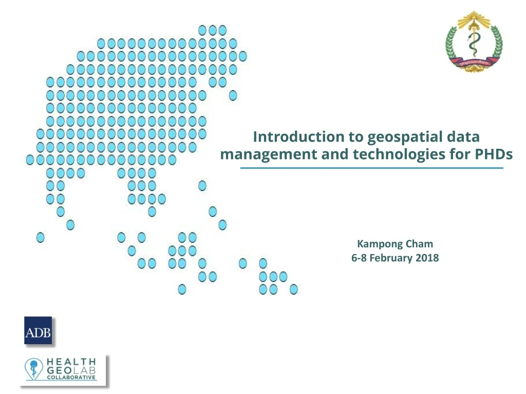
Introduction to geospatial data management and technologies for PHDs Kampong Cham 6-8 February 2018
Context of the training • Aligned to the third Health Strategic Plan 2016-2020 (HSP3) which re-affirms the MoH’s commitment to meeting the stated long term vision of the health sector development. • Strategic objectives No 6: “Health and health –related data/information are reliable, accurate, timely and of high quality and used together with results of sound health research” • Key information system in Cambodia: • Health Management Information System (HMIS) • Patient Management Registration System (PMRS) • Disease Surveillance Systems • … • Need for an integrated HIS • Importance to ensure for all the systems to share the same geography, this is what we referred to as being geo-enabled • The geo-enablement of the HIS has been included in the master plan under strategic priority area No 7 (Services, applications & tools) in order for the health sector in Cambodia to fully benefit from the power of geography, geospatial data and technologies • Activities to span over 2017 and 2018
The training in the HMIS master plan This week’s training 2017 2016 2018 2019
Context of the training - HIS geo-enabling An Information System that fully benefits from the power of geography, geospatial data and technologies Geography: The study of the natural features of the Earth, such as mountains and rivers – The Science Geospatial data: Also referred to as spatial data, information about the locations and shapes of geographic features and the relationships between them, usually stored as coordinates and topology – The Content Geospatial technologies: Refers to equipment used in visualization, measurement, and analysis of earth's features, typically involving such systems as Global Navigation Satellite System (GNSS), Geographical Information Systems (GIS), and remote sensing (RS) – The Tools 5
HIS geo-enabling benefits Benefits of a geo-enabled HIS 6
Objectives of the training • Clarify the concepts and the process behind the making of a good thematic map • Introduce proper geospatial data management practices in relation to the health facility and operational districts master lists and engage you in the updating mechanism • Strengthen your technical capacity for the production of thematic maps using QGIS
GIS ?? Round of introduction and expectations from participants • Name, position, location • Your experience with maps, GIS, GPS,.. • Expectations for this training Master list? Thematic mapping ? Don’t hesitate to ask questions!
Agenda – Day 1 Background concepts and processes
Agenda – Day 2 Health facilities and ODs Master lists
Agenda – Day 3 Using QGIS to make maps
The facilitators • SoknaSek – MOH/DPHI • LengIng – MOH/DPHI • Sat Chab – MOH/DPHI • SteeveEbener – HGLC With the contribution of IzayPantanilla – HGLC
Content of the USB key Guides Slides Exercises
Acknowledgments Material used in the training based on the: • Introduction to GIS for Communicable Disease Surveillance Technical Training Workshop (24-25 April and 27-29 December 2017) • Material from the QGIS web site (https://www.qgis.org/en/site/) • ICF Regional Health Data Mapping Workshop (17-21 July, 2017) • AeHIN GIS Lab/Health GeoLab guidelines: https://healthgeolab.net/resources/reference-materials/ • Randal Hale (NRGS) introduction slides to QGIS • Source of the definitions used in the presentations (if not mentioned): • GIS wiki: wiki.gis.com/wiki/index.php/GIS_Glossary • Esri GIS dictionary: support.esri.com/en/other-resources/gis-dictionary • Wikipedia: en.wikipedia.org
Acknowledgments This training is made possible thanks to the support of: Thank you !