Download
1 / 5
50 likes | 88 Views
This project aims to develop an Arc Hydro data model for watershed delineation and geodatabase creation in the Czech Republic using high-resolution DEM data. The study area covers 30,450 sq. mi, with key coordinates in Prague. Population and elevation data will be integrated to enhance hydrological analysis. The methodology involves utilizing four datasets including channel, drainage, hydrography, and network, along with a time series table.

E N D
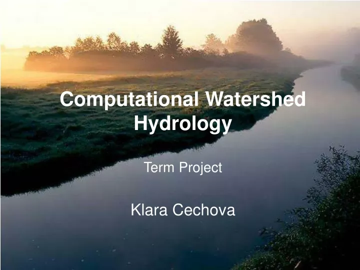
Computational Watershed HydrologyTerm Project Klara Cechova
Objective Development of Arc Hydro data model for Czech Republic • Delineation of watershed • Creating geodatabase
Study Area Czech Republic • Capital: Prague • Area: 30,450 sq mi (Indiana 36,418 sq mi) • Population: 10,476,543 (2009) (Indiana 6,376,792) • Coordinates: Latitude 50º N, Longitude 15º E
Digital elevation model (DEM) ASTER Global DEM resolution 30 m product of METI and NASA Data Elevation High : 1722 Low : 15 ASTER Japanese Advanced Spaceborne Thermal Emission and Reflection Radiometer METI Japan’s Ministry of Economy, Trade and Industry NASA The National Aeronautics and Space Administration
Methodology Arc Hydro data model 1. Four datasets: • Channel • Drainage • Hydrography • Network 2. Time Series table