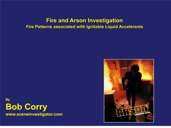
Download
1 / 44
440 likes | 896 Views
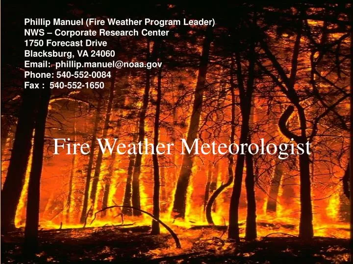
Phillip Manuel (Fire Weather Program Leader) NWS – Corporate Research Center 1750 Forecast Drive Blacksburg, VA 24060 Email: phillip.manuel@noaa.gov Phone: 540-552-0084 Fax : 540-552-1650. Fire Weather Meteorologist. To Get Fire. OXYGEN. FUEL. FIRE. HEAT. How Fire Behaves. WEATHER.

E N D
Phillip Manuel (Fire Weather Program Leader) NWS – Corporate Research Center 1750 Forecast Drive Blacksburg, VA 24060 Email: phillip.manuel@noaa.gov Phone: 540-552-0084 Fax : 540-552-1650 Fire Weather Meteorologist
To Get Fire OXYGEN FUEL FIRE HEAT
How Fire Behaves WEATHER FIRE BEHAVIOR FUELS TOPOGRAPHY
Weather Information Mehring / R3
Where do you get weather information? X • Newspaper? • Almanac? • Television?
The internet… a good place to gather fire weather intelligence.
Where to find information on the Internet http://www.weather.gov http://www.dof.virginia.gov
The State of Virginia is served by 5 Weather Service offices: Blacksburg – Wakefield – Sterling – Charleston – Morristown.
Long Term Forecast “the extended forecast”
Issued twice daily. During the morning and afternoon (2:00-4:00 am/pm). Composed of: a Weather Discussion, Current Watches and/or Warnings, Forecast Weather Conditions and a Transport and Stability Forecast, An Extended Forecast (including winds and relative humidity minimums), and an 8-14 day outlook.
Forecasts are not site specific. General forecast with average conditions over the entire forecast area. Does not take into account for local effects. The forecast will be updated if weather conditions are no longer representative.
Any mention of a strong west or northwest winds (High Wind Warnings and Wind Advisories). • Poor overnight humidity recovery or minimums of less than 30%. • Dry lightning. • An extended period of above normal temperature with below normal precipitation.
Weather is a great bluffer. Just when you think you have figured it out, it changes.
Red Flag Events • Dry Lightning. • The first lightning event after an extended dry period. • Unusually low relative humidity. • Very dry and unstable air. (Haines Index) • Very strong and shifting winds that may or may not be associated with a cold front.
Red Flag Criteria For VA Generally, a Red Flag Warning will be issued when: Ten hour fuel moistures are observed or expected to be 7 percent or less. -AND- Relative humidity is expected to fall below 30 percent at any time over the forecast area and sustained wind of 20 mph or more. Established by VICC/NWS/Fire Management Partners for the 2008 Fire Season
Fire Weather Watches • Used to alert land management agencies of the possible development of weather conditions, when coupled with critically dry and volatile fuel conditions, that may contribute to potentially dangerous wildfire situations. • Issued for all or part of a fire district.
Fire Weather Watches (Cont.) • Issued when the fire weather meteorologist is reasonably confident that a Red Flag event will occur in the next 24 to 72 hours. • Issued in conjunction with the regularly scheduled fire weather forecasts.
Red Flag Warnings • Issued to warn land management agencies of an impending or already occurring Red Flag event. • Issued immediately when the Fire Weather Meteorologist becomes aware of an ongoing Red Flag event. • Issued for impending Red Flag conditions when there is a high degree of confidence and the onset of the critical weather conditions is less than 24 hours away.
Red Flag Warnings (cont.) • Will remain in effect until the critical weather pattern passes or fails to develop. Warnings will then be canceled. • May be issued with the regular fire weather forecast or will await input from fire management agencies.
Review • Identify how and where to obtain weather information. • List types of weather forecasts available. • Describe common terms used in weather forecasting. • Define Red Flag Warning.
Learn more about Fire Weather Intelligence!
Blacksburg, VA Phillip Manuel (Fire Weather Program Leader) NWS – Corporate Research Center 1750 Forecast Drive Blacksburg, VA 24060 Email: phillip.manuel@noaa.gov Phone: 540-552-0084 Fax : 540-552-1650