Download
1 / 15
150 likes | 258 Views
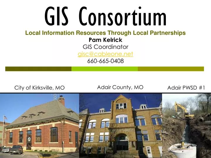
GIS Consortium. Local Information Resources Through Local Partnerships. Pam Kelrick GIS Coordinator gisc@cableone.net 660-665-0408. Adair County, MO. City of Kirksville, MO. Adair PWSD #1. GIS in Small Communities. The Great Get-Together!. Northeast Regional GIS Workshop

E N D
GIS Consortium Local Information Resources Through Local Partnerships Pam Kelrick GIS Coordinator gisc@cableone.net 660-665-0408 Adair County, MO City of Kirksville, MO Adair PWSD #1
GIS in Small Communities The Great Get-Together! Northeast Regional GIS Workshop Department of Conservation, NE Regional Office Kirksville, Missouri
Those who made this possible… Missouri Spatial Data Information Service United States Geologic Service Missouri GIS Advisory Committee Federal Geographic Data Committee
Small Communities, Geography, and People • 74% of counties have fewer than 50,000 inhabitants "Metro/urban areas can be defined using several criteria…nonmetro/rural is then defined by exclusion -- any area that is not metro/urban is nonmetro/rural…The Census Bureau classifies 61.7 million (25 percent) of the total population as rural, OMB classifies 55.9 million (23 percent) of the total population as nonmetro. According to the Census definition, 97.5 percent of the total U.S. land area is rural; according to the OMB definition, 84 percent of the land area is nonmetropolitan. USDA/ERS estimates that, in 1990, 43 percent of the rural population lived in metropolitan counties. (USDA Rural Information Center -- http://www.nal.usda.gov/ric/ricpubs/what_is_rural.htm) GISC
Small communities and GIS? • Communication tool among jurisdictions and agencies • Research tool to convey information about rural and small communities • Identify problems and opportunities • Track resources primarily in rural areas: natural resources, land use and agricultural use • Learn things about communities even 30-year residents don’t know!
Challenges: Small Communities and GIS • Cost • Local Knowledge and skill • Keeping good GIS employees • Reaping the rewards of GIS • Long-term attention on data development • Long-term attention on goals GISC
Why create a ‘How to’? • Address a lack of consistent and basic information for small GIS shops, particularly those operating in geographically isolated areas. • Encourage and support state-wide GIS development and maintenance • Introduce or reinforce the existence of best practices and standards • Provide strategies for funding and maintaining GIS • Provide planning criteria and considerations • Data sharing and management • Identify key milestones for coordination and collaboration GISC
Who is the guide meant to serve? • Decision-makers • Managers • Elected officials • Administrators • Technicians • Of small communities… GISC
Overview of the Guide • Before you start • Implementation • Program management • Program advancement
Highlights of the guide… • Before you Start • How do I know I need a GIS? • When is the right time to develop a GIS? • Planning considerations • ID business needs • ID expectations • ID stakeholders • What do I need (hardware, software) GISC
Highlights of the guide…(continued) • Implementation • Basic data – cadastre, roads, imagery, GPS • Standards & best practices • Reasonable expectations • Methods of data development – comparisons • Existing data for download & purchase • Value of metadata GISC
Highlights of the Guide…(continued) • Program Management • Data Distribution and Use • Equipment • Users • Getting data used • Data stewardship – keeping data current • Sharing and disclaimer policies (examples) • Backing up data GISC
Highlights of the Guide…(continued) • Program advancement • Expanding database holdings • Collaborations, cost-sharing, coordination & consortia • Training • Cost recovery, selling & licensing • Extending distribution services GISC
Getting the Guide & Resources • Web published with links at: • www.mgisac.org • www.msdis.missouri.edu • MGISAC regional workshops • Rural GIS Summit events GISC
Questions? Pam Kelrick GIS Coordinator gisc@cableone.net 660-665-0408