Download
1 / 8
80 likes | 228 Views
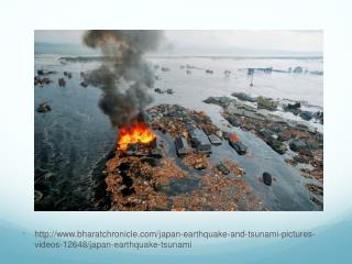
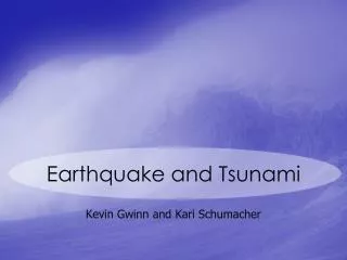
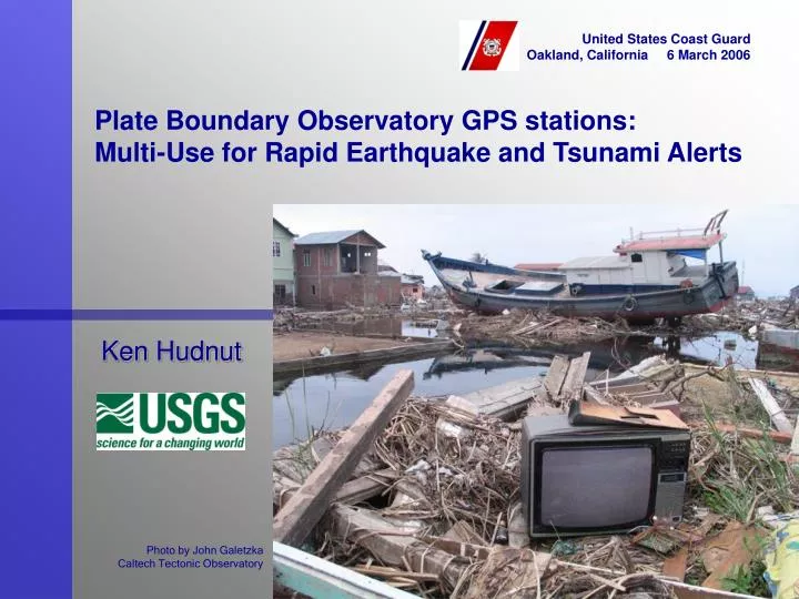
United States Coast Guard Oakland, California 6 March 2006. Plate Boundary Observatory GPS stations: Multi-Use for Rapid Earthquake and Tsunami Alerts. Ken Hudnut. Photo by John Galetzka Caltech Tectonic Observatory. M9 Cascadia or Alaska earthquake and tsunami. 26 January 1700

E N D
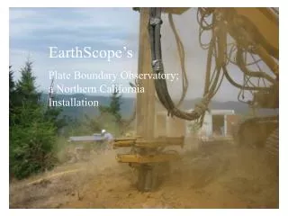
United States Coast Guard Oakland, California 6 March 2006 Plate Boundary Observatory GPS stations:Multi-Use for Rapid Earthquake and Tsunami Alerts Ken Hudnut Photo by John Galetzka Caltech Tectonic Observatory
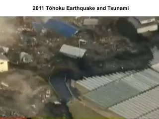
M9 Cascadia or Alaska earthquake and tsunami 26 January 1700 M9 earthquake & tsunami Good Friday 1964 M9.2 earthquake & tsunami
CREW scenario for M9 Cascadia subduction mega- thrust event and tsunami
Rapid detection of fault slip using GPS - tsunami warning system integration IOTWS: Caltech Tectonic Observatory GPS array being upgraded to real-time satellite telemetry
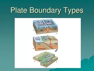
Sea floor deformation - tsunami • Fault slip caused the sea floor to deform (4-5 meters up, and 10-11 meters to the west) • This pushed the water and formed the tsunami • Model by Dr. Chen Ji at Caltech, funded by USGS external research program
National Science Foundation has funded the EarthScope Project, including the Plate Boundary Observatory GPS stations will be emplaced along the coast of California, Oregon, Washington and Alaska for daily positioning It is highly important for USGS and NOAA to partner with PBO and UNAVCO to upgrade the telemetry to real-time at these key coastal stations (funds not yet obtained, but working on it) USGS wishes to add strong- motion accelerometers at these sites to complement GPS data USGS will work with NOAA on system integration at both of the U. S. tsunami warning centers A M9 mega-thrust event off Cascadia or Alaska is likely within the next few decades An earthquake of M9 size is certain to produce a large and damaging tsunami U. S. Government must pro- vide earthquake (USGS) and tsunami (NOAA) warnings GPS station Site & Permit Earthquake real-time system Tsunami warning system
Ken Hudnut Dept. of the Interior U. S. Geological Survey 525 South Wilson Ave. Pasadena, CA 91106 Office: 626-583-7232 Cell: 626-672-6295 hudnut@usgs.gov Photo by John Galetzka Caltech Tectonic Observatory