Download
1 / 46
460 likes | 604 Views
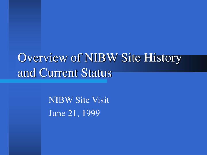
Overview of NIBW Site History and Current Status. NIBW Site Visit June 21, 1999. Overview of NIBW Site History. Overview of Work. Comprehensive site characterization Summary of Site conditions in RI/FS Implementation of ROD-required Remedy Capture and containment not achieved

E N D
Overview of NIBW Site History and Current Status NIBW Site Visit June 21, 1999
Overview of Work • Comprehensive site characterization • Summary of Site conditions in RI/FS • Implementation of ROD-required Remedy • Capture and containment not achieved • Implementation of Enhanced Remedy • Capture and containment projected • Preparation of FSA • Documentation of effectiveness of Enhanced Remedy
Components of ROD-Required Remedy • MAU & LAU extraction at wells COS31, COS71, COS72, and COS75 • Monitoring of UAU mass flux • Soil vapor extraction at Areas 7, 8, and 12
Voluntary Components of the Enhanced Remedy • COS6 tie-in to the CGTF (MAU/LAU) • Replacement LAU extraction at well COS75A • LAU extraction at well PCX-1 • MRTF for treatment of groundwater from PCX-1, and PVWC#15 and #14 • UAU extraction at Area 7 • MAU extraction at Areas 7 and 12
SCHEMATIC OF SOUTHWEST MARGIN HYDROGEOLOGY
UAU TCE CONCENTRATION CONTOURS APRIL 1998
UPPER MAU TCE CONCENTRATION CONTOURS APRIL 1998
LOWER MAU TCE CONCENTRATION CONTOURS APRIL 1998
LAU TCE CONCENTRATION CONTOURS 1990
LAU TCE CONCENTRATION CONTOURS 1992
LAU TCE CONCENTRATION CONTOURS 1994
LAU TCE CONCENTRATION CONTOURS 1996
LAU TCE CONCENTRATION CONTOURS APRIL 1998
AREA 12 SVE PROGRAM
EXTRACTION WELL MEX-1MA MCDOWELL ROAD GRANITE REEF WELL HAYDEN ROAD L GRANITE REEF ROAD TREATMENT SYSTEM ROOSEVELT ROAD MAU GROUNDWATER EXTRACTION AND TREATMENT
PROJECTED HYDRAULIC CAPTURE 1,000 gpm
PROJECTED HYDRAULIC CAPTURE 1,850 gpm
UPPER MAU WATER LEVEL CONTOURS APRIL 1998
EXTRACTION WELL COS75A INSTALLATION
ESTIMATED WATER LEVEL ALTITUDE IN VICINITY OF COS75A, APRIL 1995, PRIOR TO IMPLEMENTATION OF EXTRACTION
ESTIMATED WATER LEVEL ALTITUDE IN VICINITY OF COS75A, APRIL 1997, AFTER IMPLEMENTATION OF EXTRACTION
EXTRACTION WELL PCX-1 INSTALLATION
ESTIMATED WATER LEVEL ALTITUDE IN VICINITY OF PCX-1, APRIL 1997, PRIOR TO IMPLEMENTATION OF EXTRACTION
ESTIMATED WATER LEVEL ALTITUDE IN VICINITY OF PCX-1, APRIL 1998, AFTER IMPLEMENTATION OF EXTRACTION
Purpose • Predictive tool for evaluating a range of remedial actions with respect to: • Capture and containment of the zones of contamination (flow model) • Relative clean-up time (transport model)
Tasks • Compare ROD Required and Enhanced Remedial Alternatives • Simulate range of potential additional Remedial Actions • Simulate combinations of Remedial Actions comprising potential Remedial Alternatives
GENERAL HEAD BOUNDARY FSA MODEL DOMAIN AND BOUNDARIES (66 sq. mi.) NO FLOW BOUNDARY NO FLOW BOUNDARY GENERAL HEAD BOUNDARY
ROD Enhanced