Download
1 / 10
100 likes | 121 Views
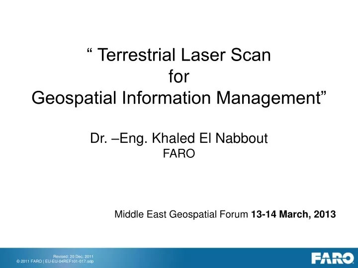
“ Terrestrial Laser Scan for Geospatial Information Management” Dr. –Eng. Khaled El Nabbout FARO Middle East Geospatial Forum 13-14 March, 2013. Introduction What is Terrestrial Laser Scan Data capturing methods Point Cloud to GIM Life demo examples. FARO EUROPE HEADQUARTER.

E N D
“ Terrestrial Laser Scan for Geospatial Information Management” Dr. –Eng. Khaled El Nabbout FARO Middle East Geospatial Forum 13-14 March, 2013
Introduction • What is Terrestrial Laser Scan • Data capturing methods • Point Cloud to GIM • Life demo examples
FARO EUROPE HEADQUARTER With more than 30,000 installations and 15,000 customers globally, FARO Technologies, Inc. (NASDAQ: FARO) and its international subsidiaries design, develop, and market software and portable, computerised measurement devices. The company‘s products allow manufacturers to perform 3D inspections of parts and assemblies on the shop floor. This helps eliminate manufacturing errors, and thereby increases productivity and profitability for a variety of industries in FARO‘s worldwide customer base. Principal products include the measuring arms Quantum FaroArm, Fusion FaroArm, FaroArm Platinum, FARO Laser ScanArm; FARO Gage, Gage-PLUS and PowerGAGE; Digital Template; the FARO Laser Trackers X and Xi; the Laser Scanners FARO Photon 80 and 20; and the CAM2 family of advanced CAD-based measurement and reporting software.
In 2007,FARO celebrated its 10th Anniversary as a public company by ringing the closing bell at the NASDAQ stock exchange. Forbes Magazine recently named FARO one of America’s 25 fastest growing technology companies.
Datacapturingmethods Source: FARO 2008
Productivity: • Up to 50 km per day in urban areas • Up to 100 km per day in extra-urban areas • 1 day post-processing for every 5 days of data capture with geo referenced images and point clouds • 0,5 to 2 hours work for data input per kilometer to carry out a full GIS database • Results and deliverables: • Routes • Pavements • Vertical signs • Traffic markings (automatically detected by the reflectance) • Sidewalks and building facades • Slopes • Retaining walls and shoulders • Tunnels and bridges • guard rails
Thank you for your attention! Dr. -Eng. Khaled El Nabbout Business Development Manager FARO Europe GmbH & Co. KG | Lingwiesenstraße 11/2 | D-70825 Korntal-Münchingen | Germany Office: +49-7150-9797-335 | Fax: +49-7150-9797-9335 | Mobile: +49-173-3433930Nasdaq: FARO | khaled.el-nabbout@faroeurope.com |www.faro.com