Download
1 / 14
140 likes | 151 Views
This study presents a technical approach for extracting shoreline information in the Al-Ras area of Dubai, UAE, by integrating DubaiSat1 multispectral imagery and a Coastal Terrain Model (CTM). The approach involves image classification using the Iterative Self-Organizing Data Analysis Technique (ISODATA) algorithm and the fusion of the classified image with the CTM and an aerial image. The resulting shoreline extraction provides valuable information for coastal management and further investigations.

E N D
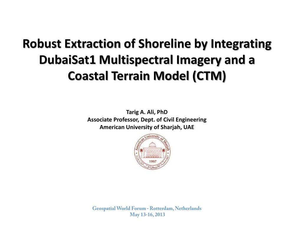
Robust Extraction of Shoreline by Integrating DubaiSat1 Multispectral Imagery and a Coastal Terrain Model (CTM) Tarig A. Ali, PhD Associate Professor, Dept. of Civil Engineering American University of Sharjah, UAE Geospatial World Forum - Rotterdam, Netherlands May 13-16, 2013
DubaiSat1 Image of the study area • Multispectral (R, G, B) • Spatial Resolution: 5m • Acquisition date: 12 Nov, 2011 • Image was enhanced by applying a median filter followed by a HPF “basic: -1s and 8”. • Advantages of the median LPF: preserves edges while removing impulse noise and yet help to avoid excessive smoothing.
Surface-Leaving Radiance in the Red Band of DubaiSat1 Image Note the high absorption in the red regionof the electromagnetic spectrum of the Image
Classification of DubaiSat1 image • The Iterative Self-Organizing Data Analysis Technique Algorithm (ISODATA) was used in the classification. Geospatial World Forum - Rotterdam, Netherlands May 13-16, 2013
Classification techniques • ISODATA algorithm takes maximum advantage of spectral variability in an image. • “Iterative Self-Organizing Data Analysis Technique” • Parameters : • N - the maximum number of clusters that you want • T - a convergence threshold and • M - the maximum number of iterations to be performed. Geospatial World Forum - Rotterdam, Netherlands May 13-16, 2013
Data used to create the CTM of the study area • The data set comprised of: • 3D bare earth mass points • bathymetric contour data: 10-m interval (surveyed in late September 2011). • LIDAR acquisition date: week of 20 November, 2011 • LiDAR system: Leica LS-50 system integrated with IMU & GPS. • Positional accuracy: RMSE = 0.23-m. • Vertical accuracy: RMSE = 0.10-m in open areas. • Spatial Reference: Dubai Local Transverse Mercator (DLTM) - WGS_84.
Costal Terrain Model (CTM) of the study area Spatial Resolution: 10m
Fusion of the MS Image based Shoreline, CTM, and Aerial Image Outcome: Refined shoreline
Concluding Remarks • Extraction of shoreline by fusing DubaiSat1 MS imagery, DTM, and an aerial image was successful . • Issues need further investigation: • Effect of the difference in spatial resolution between the MS image and the DTM • Effect of the vectorization of the shoreline derived from DubaiSat1 MS imagery. Geospatial World Forum - Rotterdam, Netherlands May 13-16, 2013