Download
1 / 33
370 likes | 549 Views
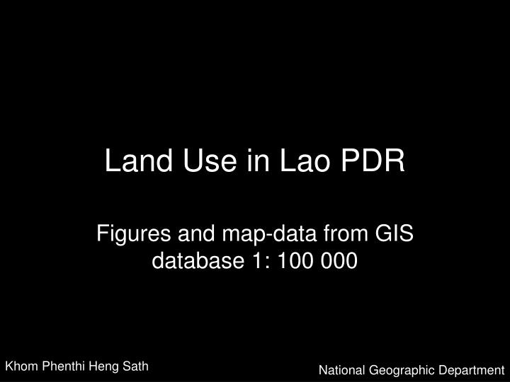
Land Use in Lao PDR. Figures and map-data from GIS database 1: 100 000. Khom Phenthi Heng Sath. National Geographic Department. Water Bodies. 2514 km2. 1.1 %. Permanent Agriculture Land. Current Forest. 115531 km2. 50 %. Potential Forest. (And Current Forest). 87455 km2. 38 %.

E N D
Land Use in Lao PDR Figures and map-data from GIS database 1: 100 000 Khom Phenthi Heng Sath National Geographic Department
Water Bodies 2514 km2 1.1 %
Current Forest 115531 km2 50 %
Potential Forest (And Current Forest) 87455 km2 38 %
Potential Forest Current Forest Permanent Agriculture Land Water Bodies
Current Forest • Upper Dry Evergreen Forest • Lower Dry Evergreen Forest • Upper Mixed Deciduous Forest • Lower Mixed DeciduousForest • Dry Dipterocarp Forest • Gallery Forest • Coniferous Forest • Mixed Broadleaved & Coniferous Forest • Forest Plantation
Upper Dry Evergreen Forest NGD-type 11 12469 km2 5.4 %
Lower Dry Evergreen Forest NGD-type12 21.3km2 0.01 %
Upper Mixed Deciduous Forest NGD-type 13 86401 km2 37.4 %
Lower Mixed Deciduous Forest NGD-type 14 10.5 km2 0.005 %
Dry Dipterocarp Forest NGD-type 15 14149.6 km2 6.1 %
Gallery Forest NGD-type 16 76.2 km2 0.03 %
Coniferous Forest NGD-type 17 1270.5 km2 0.6 %
Mixed Broadleaved Coniferous Forrest NGD-type 18 1110.4 km2 0.5 %
Forest Plantation NGD-type 19 22.8 km2 0.01 %
Potential Forest • Bamboo Forest • Unstocked Forest • Natural Regeneration • Ray
Bamboo Forest NGD-type 21 8695 km2 3.8 %
Unstocked Forest NGD-type 22 73096 km2 31.7 %
Natural Regeneration NGD-type 23 7.5 km2 0.003 %
Ray NGD-type 24 5656 km2 2.5 %
Other Wooded Area • Savannah / Open woodlands • Scrub forest, Heath
Savannah, Open Woodlans NGD-type 31 1390 km2 0.6 %
Scrub forest, Heath NGD-type 32 2105 km2 0.9 %
Permanent Agriculture Land • Rice Paddy • Agricultural Plantation • Other Agricultural Land
Rice Paddy NGD-type 41 10820 km2 4.7 %
Agricultural Plantation NGD-type 42 846 km2 0.4 %
Other Agricultural Land NGD-type 43 318.7 km2 0.14 %
Other Non_forest Land • Barren Land and Rock • Grass Land • Swamp • Urban or Built_Up Area
Barren Land and Rock NGD-type 51 2176 km2 1 %
Grass Land NGD-type 52 6859 km2 3 %
Swamp NGD-type 53 579 km2 0.25 %
Urban or Built_Up Area NGD-type 54 129 km2 0.06 %