Download
1 / 8
80 likes | 94 Views
AgACIS provides climatic data for Conservation Planning, accessed through NWS Cooperative Network, SNOTEL, and CSCAN stations. Access examples include Oregon and Colorado. AgACIS examples cover wetlands, precipitation data, seeding, and temperature summaries. The system is not publicly available yet, with plans for broader release and a web service in the future.

E N D
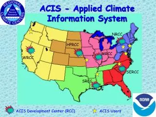
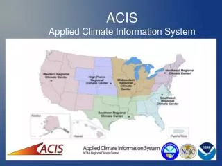
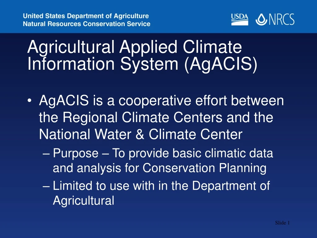
Agricultural Applied Climate Information System (AgACIS) • AgACIS is a cooperative effort between the Regional Climate Centers and the National Water & Climate Center • Purpose – To provide basic climatic data and analysis for Conservation Planning • Limited to use with in the Department of Agricultural
AgACIS • Data Set – • NWS Cooperative Network • SNOTEL (Snow Telemetry Network) • CSCAN (Cooperative Soil Climate Analysis Network)
AgACIS • Stations – • NWS Cooperative Network – active stations that report no more than 3 months behind • SNOTEL – active stations • CSCAN – active stations
Accessing AgACIS • Integrated into My.NRCS within the electronic Field Office Technical Guide (eFOTG) • Access Examples • Oregon – • Colorado -
Using AgACIS • AgACIS Interface • Example Service Center/Field Office Access • Contact the NRCS Climate Data Liaison in each state for information
Using AgACIS • AgACIS Examples • Wetlands – Corvallis, Oregon • Wetlands Table – July 2006 • Precipitation Data – July 2006 • Seeding – Bend, Oregon • Taps – Temperature & Precipitation Summary • June & July 2006 • June & July 2005
Using AgACIS • AgACIS Examples • Precipitation Events • July 1997 flood, Fort Collins, Colorado *
AgACIS Accessibility • Not available to the public at this time • Broad release depends on access impacts to ACIS as a whole • Implementation of a Web Service to provide direct data input for modeling and forecasting applications will be the next phase of the AgACIS Project