Download
1 / 8
80 likes | 150 Views
SR 40 Reevaluation. From US 17 to SR 11 and SR 11 to Cone Road. Volusia County Transportation Planning Organization. FPID No. 240386-1-32-01 240387-1-32-01. October 25, 2011. PD&E Study Reevaluation Location Map. Design FY 11/12. Design FY 13/14. Existing Typical Section.

E N D
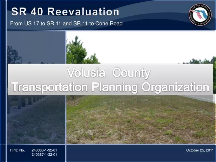
SR 40 Reevaluation From US 17 to SR 11 and SR 11 to Cone Road Volusia County Transportation Planning Organization FPID No. 240386-1-32-01 240387-1-32-01 October 25, 2011
PD&E Study Reevaluation Location Map Design FY 11/12 Design FY 13/14
Existing Typical Section • Rural Typical Section • 200 Feet of Existing Right-of-Way
Proposed Typical Section • 4-Lane Rural Divided Arterial • Minimum Design Speed = 65 mph • Right-of-Way Acquisition • Interceptor Ditches: 0’-20’ additional right-of-way • Pond Sites Potential Trail
Potential Trail • Volusia County Trail Master Plan • VTPO Requested Evaluation • 12-foot Wide, Paved, Multi-use Trail • South Side of SR 40 • Volusia County Standards • Trail Located • At Right-of-Way • Berm Between Ditches • Wildlife Crossings – Adjacent to the Road with Barrier Separation • Trailhead Locations • Gaps to Existing/Funded Trails
Trail Location • South Side of SR 40 • Advantages • Reduced Right-of-Way Impacts and Costs • Reduced Construction Costs • Disadvantages • Requires Crossing SR 40 to Connect to Existing Trail in Ormond Beach. • Potential Crossing Point - Future Airport Boulevard Extension
Trail Costs • Wetland Impacts – 6.42 Acres • Conservation Easement Impacts – 0.87 Acres • Trail Costs • Construction $5.75 M • Right-of-Way $2.50 M • Mitigation $0.85 M • Design and CEI $1.65 M • Total $10.8 Million • Cost Estimates are for the Trail to be Completed as Part of the Widening Projects
Next Steps • Maintenance Agreement From Volusia County • Funding Agreement for Added Costs • Design (Advertised in December) • Requires Scope to be Finalized by the end of November