Download
1 / 21
230 likes | 273 Views
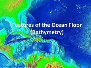
Explore the significance of ocean bathymetry and its impact on ocean circulation, climate, and societal activities. Learn about how bathymetry is measured and its crucial role in understanding Earth's geoid model. Discover the relevance of topography on ocean currents, heat transport, and biological ecosystems.

E N D
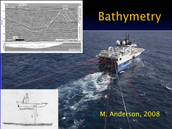
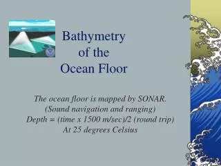
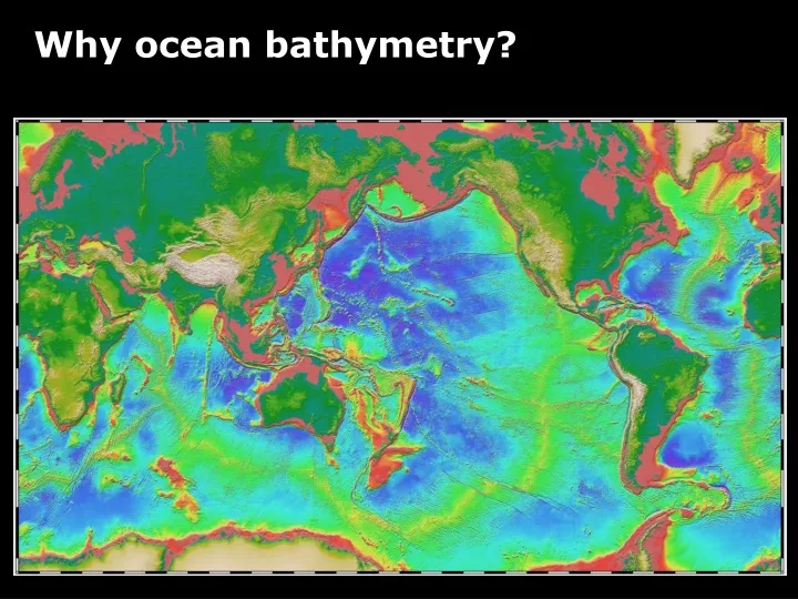
Questions: • How do we measure bathymetry? • Why is ocean bathymetry important?
What does it mean to be at an altitude of 4000 m? It mean that I am 4000 m above the Mean Sea Level (MSL)
Model of the shape of the Earth geoid: The equipotential surface of the Earth's gravity field which best fits, in a least squares sense, global mean sea level (MSL) http://www.esri.com/news/arcuser/0703/geoid1of3.html http://en.wikipedia.org/wiki/Geoid
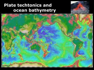
Ocean Circulation and Climate Heat Transport affected by topography!
Ocean Circulation and Climate Ocean Currents take different paths!
Ocean Circulation and Climate Deep ocean mixing and pathways
Ocean Circulation and Climate Mixing energy and dissipation of tides!
Ocean Circulation and Biology Seamounts ….
Societal impacts Tsunami
Societal impacts Gas and oil extraction
Before you go … 1) Reading material on Class Website Satellite Topography and Oceanography from Space 2) Homework #2 assigned.
Understanding Isostacy and Buoyancy Exercise