Download
1 / 1
10 likes | 60 Views
We can obtain geographic data with the aid of technology from geospatial firms. However, the real strength of this geospatial data lies in what we can do with it.

E N D
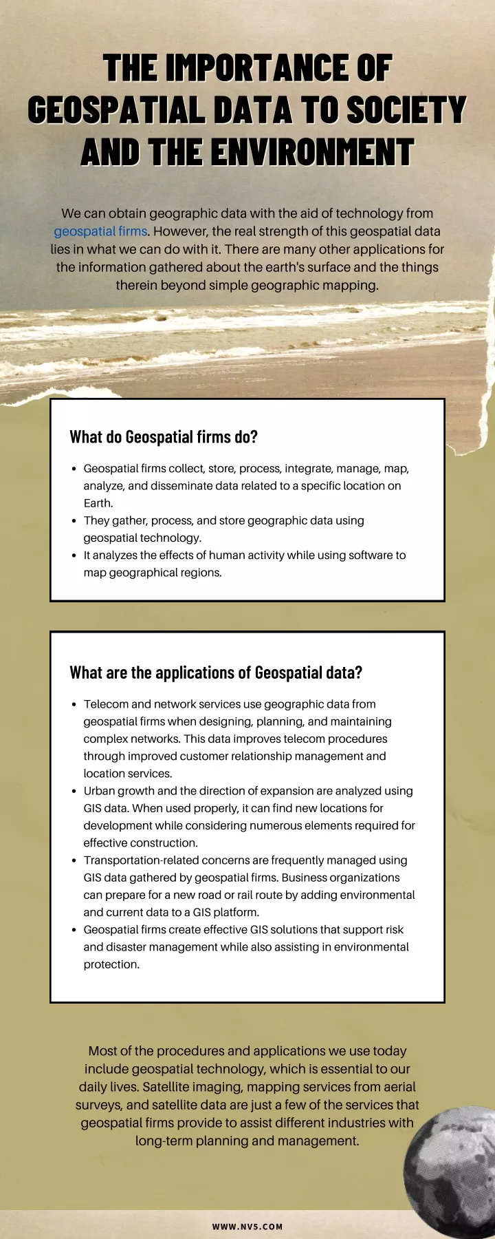
THE IMPORTANCE OF THE IMPORTANCE OF GEOSPATIAL DATA TO SOCIETY GEOSPATIAL DATA TO SOCIETY AND THE ENVIRONMENT AND THE ENVIRONMENT We can obtain geographic data with the aid of technology from geospatial firms. However, the real strength of this geospatial data lies in what we can do with it. There are many other applications for the information gathered about the earth's surface and the things therein beyond simple geographic mapping. What do Geospatial firms do? Geospatial firms collect, store, process, integrate, manage, map, analyze, and disseminate data related to a specific location on Earth. They gather, process, and store geographic data using geospatial technology. It analyzes the effects of human activity while using software to map geographical regions. What are the applications of Geospatial data? Telecom and network services use geographic data from geospatial firms when designing, planning, and maintaining complex networks. This data improves telecom procedures through improved customer relationship management and location services. Urban growth and the direction of expansion are analyzed using GIS data. When used properly, it can find new locations for development while considering numerous elements required for effective construction. Transportation-related concerns are frequently managed using GIS data gathered by geospatial firms. Business organizations can prepare for a new road or rail route by adding environmental and current data to a GIS platform. Geospatial firms create effective GIS solutions that support risk and disaster management while also assisting in environmental protection. Most of the procedures and applications we use today include geospatial technology, which is essential to our daily lives. Satellite imaging, mapping services from aerial surveys, and satellite data are just a few of the services that geospatial firms provide to assist different industries with long-term planning and management. WWW.NV5.COM