Download
1 / 21
250 likes | 476 Views
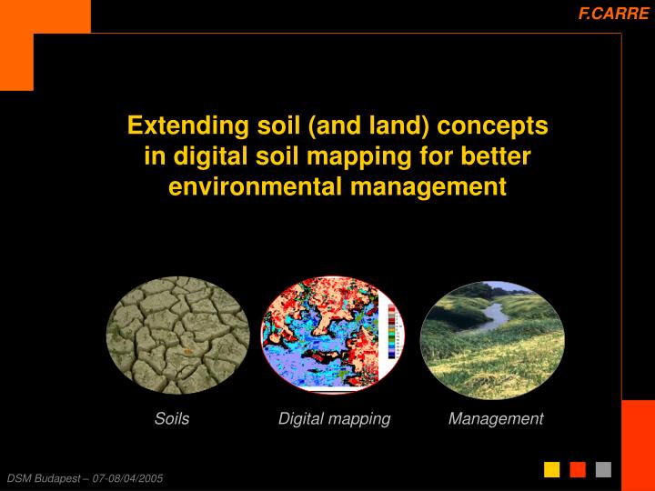
F.CARRE. Soils. Digital mapping. Management. Extending soil (and land) concepts in digital soil mapping for better environmental management. PURPOSES. RESEARCH PURPOSE. Integration of soil forming factors at the same level as soil information helps in managing agroecological landscape.

E N D
F.CARRE Soils Digital mapping Management Extending soil (and land) concepts in digital soil mapping for better environmental management
PURPOSES RESEARCH PURPOSE Integration of soil forming factors at the same level as soil information helps in managing agroecological landscape PROPOSITION RELATED TO THE USE OF SOIL DATABASE
INTRODUCTION Context of the study Materials of the study ENVIRONMENTAL RISKS DUE TO SOIL USES SOIL FUNCTIONS SOIL USES SOIL DATABASE Ex: in FRANCE
SOIL FUNCTIONS Basis for biomass production Filtering, buffering and transformation Habitat and gene reservoir Foundation Source of raw materials Historical medium http://greenpack.rec.org/soil/soil_functions/index.shtml
SOIL USES FIELD USES SOIL FUNCTIONS Basis for biomass production Agriculture Filtering, buffering and transformation Landscape ecology Habitat and gene reservoir Landscape ecology Foundation Civil engineering Source of raw materials Civil engineering Historical medium Archeology
ENVIRONMENTAL RISKS DUE TO SOIL USES Erosion Decline in organic matter Contamination Sealing Compaction Decline in biodiversity Salinisation Floods and landslides http://europa.eu.int/eur-lex/en/com/pdf/2002/com2002_0179en01.pdf
SOIL DATABASE PURPOSES RELATED TO SCALES Ex: In France - Programme IGCS (INRA, Ministry of Agriculture) « Les secteurs de référence » For local environmental or agricultural study (drainage, irrigation, precison agriculture….) in order to make good preconisations (soil respectful). Scale prospected: 1:10,000 to 1:25,000 http://gissol.orleans.inra.fr/programme/igcs/sr.php
SOIL DATABASE SECTEURS DE REFERENCE (from 1:10,000 to 1:25,000) http://gissol.orleans.inra.fr/programme/igcs/sr.php
SOIL DATABASE PURPOSES RELATED TO SCALES Ex: In France - Programme IGCS (INRA, Ministry of Agriculture) « Les secteurs de référence » For local environmental or agricultural study (drainage, irrigation, precison agriculture….) in order to make good preconisations (soil respectful). Scale prospected: 1:10,000 to 1:25,000 Regional soil database To answer environmental and agricultural issues at the regional scale (administrative and political management entity) http://gissol.orleans.inra.fr/programme/igcs/rrp.php
SOIL DATABASE REGIONAL SOIL DATABASE (1:250,000) http://gissol.orleans.inra.fr/programme/igcs/sr.php
SOIL DATABASE On Digital Soil Mapping (McBratney et al., 2003) SCALES RELATED TO ANALYSIS RESOLUTION
TERRON MODELLING TERRON DEFINITION Terron = fn (soil, landscape, landscape * soil) ~ Viticultural terroirs, “spatial and temporal entities, consistent with both cultivated soil landscape characteristics and frequent harvest quality” (Vaudour, 2003) ~ Agroecozone, “a geographic area that shares similar biophysical characteristics for crop production, such as soil, landscape and climate” (Liu and Samal, 2002) Landscape in this case is landform features but globally corresponds to soil forming factors Soil cover continuity is then emphasized through the « double » integration of soil (soil AND soil forming factors) See Digital Terron Mapping (Carré & McBratney, 2005)
MANAGEMENT PURPOSES OF TERRON MAPPING Erosion for example Leaching, floods, contamination… All issues dealing with soils and landform
MATERIAL FOR TERRON MAPPING See Digital Terron Mapping (Carré & McBratney, 2005)
TERRON MAPPING GENERAL METHOD Based on regression-kriging Reduction of the soil information into 6 components - PCA on the soil attributes Establishment of 18 terron classes Interpolation of the terron classes - distances to terron centroids related to the landform attributes by a MLR (regression model) - kriging of the regression residuals added to the regression model - the terron class of each pixel is the one for which the distance is minimal Validation of the model - Another dataset is classed according to terron centroids and comparison with model results See Digital Terron Mapping (Carré & McBratney, 2005)
TERON MAPPING RESULTS For the same number of entities See Digital Terron Mapping (Carré & McBratney, 2005)
TERRON MAPPING RESULTS See Digital Terron Mapping (Carré & McBratney, 2005)
TERRON FROM RESISTIVITY…. PCA on the 3 resistivities PCA on the 3 resistivities AND landform attributes (ALT, SLOP) MAPPING WITH PCA ON RESISTIVITIES (R1: 0-50 cm; R2: 0-1 m; R3: 0-2 m) Field of Boigneville (IDF area)
NEXT OBJECTIVE MAPPING AGROECOZONES (RELATED TO SOIL FERTILITY) To map agroecozones of Europe at 250m resolution with: - Soil data - Landform - Climate database - Landcover - Statistical data on farm-types to locate crops under constraints
CONCLUSIONS & PROPOSITIONS CONCLUSIONS ABOUT INTEGRATION OF LANDSCAPE FEATURES INTO SOIL DATABASE FOR ENVIRONMENTAL PURPOSES Integrating soil forming factors to soil allows for emphasizing soil cover continuity So, terron is directly suitable to environmental issues related to soil and landscape features, Considering relations between scale / resolution and level of details of taxonomic soil database, mistakes can be done on the resolution of the integrated landscape features. If it’s too large regarding the resolution of soil information, this can introduced skew in the results Also, interpretation of the terron is not so easy Pb of users’ knowledge
CONCLUSIONS & PROPOSITIONS CONCLUSIONS ABOUT INTEGRATION OF AGRO-ENVIRONMENTAL INDICATORS INTO SOIL DATABASE Considering the use of soil databases, relevant questions have to be raised: Is soil database users’ knowledge adapted to the complexity of soil database constitution? Are there existing studies about the use of soil database to manage environmental purposes (considering the same database and the same purpose but different users) ? Could it be interesting to integrate to soil database agro-environmental indicators adapted to specific issues AND specific scales (or to provide only thematic maps to managers)? Pb of model validity adapted to extent and scale (Bierkens et al, 2000) Pb of integration of multiscale data (Bierkens et al, 2000)