Download
1 / 23
230 likes | 390 Views
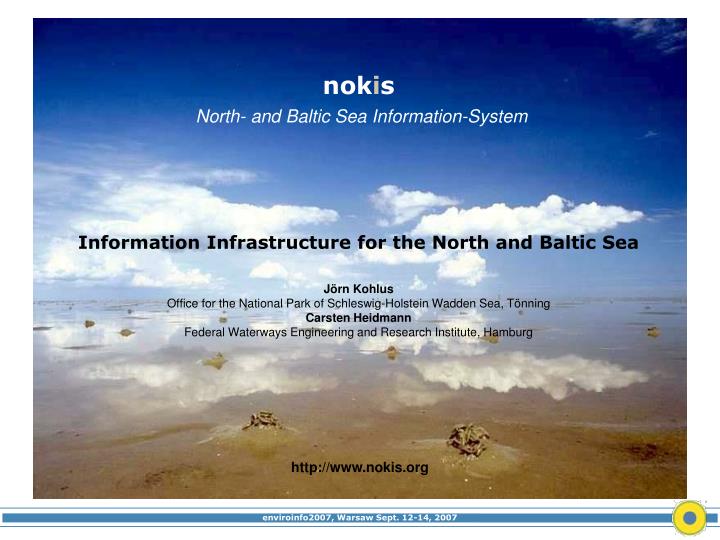
nok i s North- and Baltic Sea Information-System. Information Infrastructure for the North and Baltic Sea Jörn Kohlus Office for the National Park of Schleswig-Holstein Wadden Sea, Tönning Carsten Heidmann Federal Waterways Engineering and Research Institute, Hamburg. http://www.nokis.org.

E N D
nokisNorth- and Baltic Sea Information-System Information Infrastructure for the North and Baltic Sea Jörn KohlusOffice for the National Park of Schleswig-Holstein Wadden Sea, TönningCarsten HeidmannFederal Waterways Engineering and Research Institute, Hamburg http://www.nokis.org
(c) Google Earth, 2007 Tönning 120 km Where we are Met. Sat. 9
Coastal National Parks of Germany National Park of Schleswig-Holstein Waddensea440 000 ha,400 km coast,30 m deep, 6 m high Tönning
Bridges Across Borders the wadden sea is a landscape without borders
Ex. S-H.:ALRIMLVermAALRNPA, LANULANU UBA, BfN, BfGWSV, BAWBSHBSHDWD and also a sectoralstructure A National Project Of Coastal Agencies Rights of the Federal StatesEducationAgriculture, FisheryLand use regulationLand SurveyCoastal ProtectionNature Protection Environment Pro. ICZM Rights of Central StateNature-Protection only Exclusive Economic ZoneMaritime-TrafficMarine EconomyBathymetrie of the seaMeteorology
Land-Topography: SH land survey Dikes: agency for coastal protection (ALR) Saltmarshes: NPA, LANU, ALR Wadden: ALR Bathymetry: BSH, BAW Sources for a Actual Topographic Map
[ ] Network of Metadata Who ? What ? Where ?
International Standards • ISO 19100 suite of standards concerning the standardization of metadata is already the de-facto standard for the erection of new geodata infrastructures (GDI). • IS 19115 (Geographic Information - MetaData) • IS 19119 (Description of Services) • TS 19139 (Geographic MetaData XML). • GDI exchange standard in Germany: DE-Profile • Open Geospatial Consortium (OGC) • German implementation of the OGC ISO Application Profile for CSW (Catalog-Service for Web)
navigatorische structural, syntactic semantic data-format, language, access rights keywords, title, location, contact data sources codes / object catalogue method, accuracy, time stamp, portrayal catalogue part of local documentation to be added for standardized metadata Components of Metadata
NOKIS- Profile produced for externalsearch metadata ISO metadata documentation standardised metadata existing meta-information atdata holders localdocumentation Integration of documentation
local systemswith potential local profilesprovide metadatain the common NOKIS-Profile As Cascading System
Tree-Structure of Documents Contact-Management Editor for Metadata
Applications - Jedi Java Sediment Classification Tool for hydroacoustic seabed classification,produces directly NOKIS - metadata Concept and implementation: Hans-Christian Reimers (Schleswig-Holstein State Agency for Nature Conservation and the Environment) and Frank Sellerhoff (smile ConsultGmbH)
Services • Catalogue Service • Transformation Service
All Is Changing Nothing is simple inthe Wadden Seabig shoals are moving about 30m a yearmore than 100 000 ha are flooded all 6 hours on day of measurements with ships costsbetween 1000 to 30000 €the water is blur by tidal streams and sedimentsthe area is big: 150 km N/S, 50 km E/W, 400 km coastline (only SH NP)extreme travelling times: 8 hours travelling time for a visit from mainland to the island of Amrum
1651 1654bis1924 (c) Kohlus Gazetteer and Poldering
Information Data WEB-Tools Metadata Download Online-Sources Preview
Download Information Online-Services smile Consult
Partners Ende ALR Amt für ländliche Räume, Husum BAW Bundesanstalt für Wasserbau - Dienststelle Hamburg BAW Bundesanstalt für Wasserbau - Dienststelle Ilmenau BfG Bundesanstalt für Gewässerkunde, Koblenz BSH Bundesamt für Seeschiffahrt und Hydrographie disy Informationssystem GmbH., Karlsruhefzi Forschungszentrum Informatik, Karlsruhe GKSS GKSS- Forschungszentrum, Geesthacht IfBauInf Institut für Bauinformatik der Uni Hannover KFKI Geschäftsstelle des Kuratoriums für Forschung im Küsteningenieurwesen LANU Landesamt für Umwelt und Natur in Schleswig- Holstein, Flintbek LUNG Landesamt für Umwelt, Natur und Geologie, GüstrowNLPV Nationalparkverwaltung für das Niedersächsische Wattenmeer, Wilhelmshaven NLWKN Niedersäch. Landesbetrieb für Wasserwirtschaft, Küsten- und Naturschutz,Betriebsst. Norden NLWKN Niedersäch. Landesbetrieb für Wasserwirtschaft, Küsten- und Naturschutz, Betriebsst. Aurich NPA Landesamt für den Nationalpark Schleswig- Holsteinisches Wattenmeer, Tönning planGIS Gesellschaft für digitale Planung mbH., Leer smile Consult smile consult GmbH., Hannover WSD Nord Wasser- und Schiffahrtsdirektion Nord, Kiel WSD Nordwest Wasser- und Schiffahrtsdirektion Nordwest, Aurich (c) Stock NOKIS++ wird als Projekt gefördert vom Bundesministerium für Bildung und ForschungFördernummer 03KIS049Laufzeit 2004 - 2008 joern.kohlus@nationalparkamt.de, 04861.61646