Download
1 / 29
290 likes | 310 Views
Learn about the NOAA Hurricane Forecast Improvement Project (HFIP) and its goals to reduce forecast errors and improve accuracy in predicting hurricane tracks, intensity, and storm surges. Explore the timeline of hurricane research and the development of advanced models and forecasting techniques. Discover the milestones and strategies to achieve better hurricane forecasts.

E N D
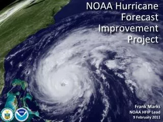
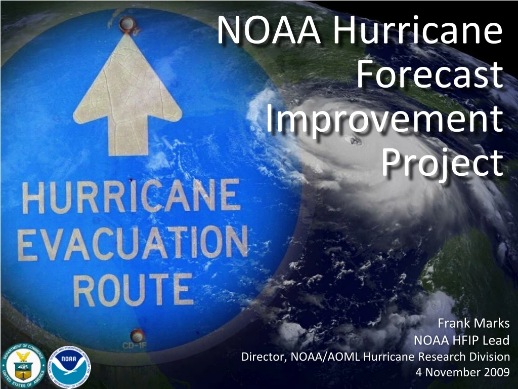
NOAA Hurricane Forecast Improvement Project Frank Marks NOAA HFIP Lead Director, NOAA/AOML Hurricane Research Division 4 November 2009
Hurricane Research Timeline 1997 1998 1999 2000 2001 2002 2003 2004 2005 2006 2007 2008 2009 USWRP Hurricanes at Landfall Implementation Plan USWRP Hurricanes at Landfall Workshop USWRP PDT-5 IWTC-IV IWTC-V OFCM National Plan for Tropical Cyclone Research and Reconnaissance NOAA HFP NASA CAMEX-3, NOAA HFP NASA CAMEX-4, NOAA HFP NOAA HFP NOAA HFP
USWRP HL GOALS - 1997 • Reduce overwarned area at 24 h by half. Requires cutting track error by 30%, improving 34-kt wind radii forecast accuracy 20%, and provide better estimate of uncertainty. • Reduce intensity forecast error to within 1/2 category at 24 h and 1 category at 48 h. • Develop methods for forecasting TC wind and precipitation structure at and after landfall. • Develop better understanding of costs and benefits of reducing errors in all of the above forecast measures to drive policy tradeoffs
Hurricane Research Timeline 1997 1998 1999 2000 2001 2002 2003 2004 2005 2006 2007 2008 2009 5 TCs hit US Katrina & Rita USWRP Hurricanes at Landfall Implementation Plan USWRP Hurricanes at Landfall Workshop USWRP PDT-5 IWTC-IV IWTC-V IWTC-VI NOAA SAB HIRWG, NSB NHRI, OFCM National Plan for Tropical Cyclone Research OFCM National Plan for Tropical Cyclone Research and Reconnaissance Joint Hurricane Testbed NOAA & USWRP NOAA HFIP NOAA Science & Technology Infusion Program Plan NOAA Hurricane Research Initiative NOAA HFP NOAA HFP NOAA HFP NOAA IFEX NASA AMMA, NOAA IFEX NASA TCSP, NSF RAINEX,NOAA IFEX NASA CAMEX-3, NOAA HFP NASA CAMEX-4, NOAA HFP NOAA HFP NOAA HFP NOAA HFP NOAA IFEX
Developing a National Hurricane Research Agenda Fall 2005 – OFCM forms Joint Action Group for TC Research (JAG/TCR), NOAA Science Advisory Board (SAB) forms Hurricane Intensity Working Group (HIRWG), NSB investigates national hurricane research needs Winter 2007 – JAG/TCR, HIRWG, & NSB reports released Summer 2007 – NOAA forms Hurricane Forecast Improvement Project (HFIP) in response to HIRWG recommendations.
Goals • Improve Forecast Accuracy • Hurricane impact areas (track) – 50% in 10 years • Severity (intensity) – 50% in 10 years • Storm surge impact locations and severity • Extend forecast reliability out to 7 days • Quantify, bound and reduce forecast uncertainty to enable risk management decisions
How to get there? • Science • Improved understanding from combination of observations and models • Higher resolution coupled models – critical to storm evolution forecasts – especially intensity changes • Forecast techniques to understand, reduce and communicate uncertainty • Information Technology • Increased computing power - run advanced hurricane/global models and reduce uncertainty • IT infrastructure for inter-agency data exchange • Observing Strategy • Improved use of existing and planned systems • Improved Products for Forecasters
Improved Models: Statistical-dynamical models • SHIPS, LGEM, & RI-index are skillful sources of intensity guidance • SHIPS & LGEM contain ~55-60% of the variance in intensity change, RI-Index ~30% of RI variance, primarily from large-scale in GFS. • Until regional models improve there is value in improving statistical- dynamical approaches. • Milestones: • Improve statistical model accuracy (LGEM, SHIPS, RI index) • Identify model deficiencies (LGEM, SHIPS, RI index) • Use statistical models to evaluate regional models • Transition applications into operations - JHT
Improved Models: Statistical-dynamical models-RI • RI much more prevalent in weaker systems (~70% of occurrence in storms <Cat 1) ATL EPAC • RI Index has much higher POD than any dynamical model and OFCL in both ATL and EPAC • FAR for RI index comparable to dynamical models and OFCL • Kaplan et al (2009)
Improved Models: Dynamical Models National Hurricane Forecast System • Global: • FIM global model developed at ESRL with help from NCEP • Uses unique global grid (soccer-ball-like horizontal, adaptive vertical coordinate) • Regional: • Experimental HWRF developed at AOML & ESRL based on NCEP HWRF • Triply-nested regional model down to 1-km horizontal resolution D1 D2
Global Model Development - FIM Model tracks – init 00Z 19 August FIM Courtesy of Stan Benjamin
Regional Model Development - HWRFx HWRFx real-time demo simulations (https://storm.aoml.noaa.gov/hwrfx/) • 2009 hurricane season: • Ran HWRFx at resolution (9/3km), no ocean, no vortex initialization (HWRF IC/BC) • HWRFx run real-time twice a day (00Z, 12Z) for >100 cases 126 h forecasts • Provided in ATCF format to DTC & multi-model regional ensemble • NJET statistics (average): • Simulation time: 2.5 h • Post-processing: 50 min
Single Model Ensembles: Bill Courtesy of Fuqing Zhang (PSU) tracks Max 10-m wind swath & ensemble track
Single Model Ensembles: Erika ICs: GFS-EnKF analysis BCs: GFS forecast Courtesy Fuqing Zhang (PSU)
Multi-model Ensembles Hurricane Bill • 2009 hurricane season: • Multi-model regional ensemble • HWRFx does better on intensity for strong hurricanes (Bill & Fred), but worse for weak systems (Ana, Danny, Erika, AL08, & Henri) • HWRFx sensitivity tests with GFS IC vs HWRF IC has inverse behavior when using GFS IC (e.g., weak bias with strong storms), & track error worse Hurricane Bill TS Henri TS Henri
Improved Observations • In-situ • Wind, press., temp. • Expendables • Dropsondes • AXBT, AXCP, buoy • Remote Sensors • Doppler Radar • SFMR • Scatterometer/ profiler • UAS Doppler radar analysis overlaid by Aerosonde and coincident WP-3D track in TS Ophelia 16 Sept 2005
Improved Models & Data:Data Assimilation 20° • EnKF data assimilation of inner core observations Vr SOs 03-07Z 19 August D3 1st real-time SOs transmitted during P-3 mission and assimilated few hours later D3 D2 TS Fay (2008) D1 Courtesy of Fuqing Zhang (PSU)
WRF-EnKF with P3 radar Real-time Flow 64x30cores 16cores 64x30cores 32cores +09-12hr EnKF +04:25 Get GFS Data +04:27 WPS +04:40 Ensemble Generation +05:00 24hr Ensemble forecast +05:45 Waiting for SO +11:30 132hr lead time DF +??:?? 132hr lead time DF&EF 384cores 384x31 cores 00 and 12UTC 2 times/day Depending on SO http://hfip.psu.edu/html/EnKFroutine.html Courtesy Fuqing Zhang (PSU)
Improved Models & Data:On-demand Test Demonstrate potential of on-demand computing & inform future needs Operating System: Linux Number of Cores: 62,976 Total Memory: 123 TB Disk: 1.73 PB
Improved Models & Data:On-demand Test: Bill P-3 Flight Tracks ARW-TACC 20090819 00UTC • 5 missions at 12-h intervals • 00Z 19 – 00Z 21 August collecting Doppler SO (EnKF) Doppler SO (EnKF) transmitted in real-time to TACC for assimilation into ARW model 20090818I1 2126-0229 UTC ARW-TACC 20090819 00UTC
Improved Models & Data:Assimilation of Doppler data 10m wind speed Contour: prior Shaded: posterior 10m wind speed Increments: Posterior - prior Courtesy Fuqing Zhang (PSU)
Improved Models & Data:On-demand Test: Bill Observed 00Z 20 August COAMPS 24h initialized 00Z 19 August 20090819I2 2137-0224 UTC HWRFx 24 h forecast initialized at 00Z 19 August
Improved Models & Data:Boundary Layer Physics–Bill HWRFx 63 h Hurricane Bill 00Z 16 August • Hurricane Bill (2009): • HWRFx wind & thermodynamic structure compared to observations (dropsondes & HWind) • U10 OK, T10 high HWind 1730 UTC 18 Sept 23
Improved Models & Data:Visualization • Integration of HWind database & Model • Integration of HWind database & NRL satellite imagery Hurricane Ike (2008) TS Fay (2008) • Exploring AWIPS-II integration through use of common standards • Integration of HWind database & YouTube Hurricane Danny (2009)
OFCM WG/TCR Objectives • Monitor and update operational needs of tropical cyclone forecast and warning centers (Table 1) • Review and update research priorities (Table 2) • Summarize agency research efforts against research priorities • Develop interagency implementation strategy • Leverage agency existing plans / resources to ensure all priorities addressed • Review implementation strategy at annual IHC
OFCM WG/TCR Summary of Federal TC Research Total $ With Facilities: $50.2M Without Facilities: 37.7M 2008 Total Man-Years: 228
Intensity & Structure: ~ 35% Combined Man-Years Mapped to JTWC Priorities TC Research Roughly Aligned with Operational Priorities Intensity Change Genesis Stat Aids QPF Track Fcst Storm Surge Observations Size/Structure SST Gradients Wind Analysis Radar/Sat. Data Model Res vs Ensembles Fcst Efficiency Seasonal Progs
First-ever linkage of TC research to tropical forecast and warning center’s operational priorities Developed repeatable process that can be updated on an annual basis Allows direct application of research investments to desired operational capabilities Next steps Agree on interagency strategic objectives (track, intensity, genesis) Relate research efforts toward achieving strategic objectives Document work of WG/TCR Formalize executive oversight OFCM WG/TCR Summary / Next Steps