Download
1 / 25
250 likes | 273 Views
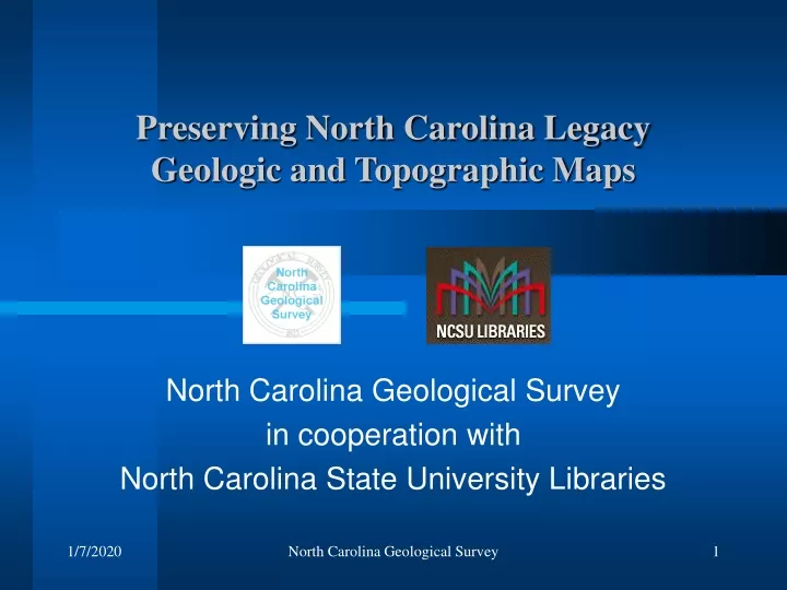
Preserving North Carolina Legacy Geologic and Topographic Maps. North Carolina Geological Survey in cooperation with North Carolina State University Libraries. Project Goals. Scan and georegister geologic maps (including theses/dissertations) and archival topographic maps

E N D
Preserving North Carolina Legacy Geologic and Topographic Maps North Carolina Geological Survey in cooperation with North Carolina State University Libraries North Carolina Geological Survey
Project Goals • Scan and georegister geologic maps (including theses/dissertations) and archival topographic maps • Introduce resulting content into a digital repository being developed by the NC Geospatial Data Archiving Project in collaboration with Library of Congress North Carolina Geological Survey
NC Geospatial Data Archiving Project (NCGDAP) • Joint project of NCSU Libraries and the NC Center for Geographic Information and Analysis • Focus is collection and preservation of digital data resources from state and local government agencies in NC FOR MORE INFO... North Carolina Geospatial Data Archiving Project: http://www.lib.ncsu.edu/ncgdap North Carolina Geological Survey
NCGDAP Objectives (selected) • Acquire at-risk geospatial data, including: • static data such as digital orthophotos • time series data such as local land records and assessment data • Ingest and manage geospatial content within a digital repository, initially using DSpace software North Carolina Geological Survey
Geologic & Historic Maps – Value to NCSU Libraries • The geologic and older topo maps have no digital counterparts and the paper copies are scarcely accessible and in deteriorating condition • Geologic and historic maps are in high demand, and are critical for Geologic and other Earth Science instruction and research North Carolina Geological Survey
Citizens benefit from the information on geologic maps • Geologic maps are used to: • Identify areas prone to natural hazards, such as landslides, erosion, sinkholes and flooding • Select locations that are suitable for tunnels, bridges, dams and quarries • Identify suitable sites for safe construction of homes and commercial buildings • Select safe places for building septic systems and landfills to minimize the risk of polluting soils and groundwater North Carolina Geological Survey
Citizens benefit from the information on geologic maps (continued) • Geologic maps are used to: • Help farmers, landowners, and government officials locate groundwater resources and protect water quality • Help citizens understand geologic features (such as faults, mineral deposits) in the landscape • Locate and assess the value of resources such as industrial minerals, aggregates (crushed stone and sand), and mineral fuels. North Carolina Geological Survey
Geologic & Historic Maps – Value to NCSU Libraries • Digital Georeferencing provides new capabilities not possible with paper maps by overlaying other GIS data onto geologic maps • Provides an imagery data collection to use for early testing and workflow development within the NCGDAP project North Carolina Geological Survey
Georeferencing Steps • Geologic maps were scanned in their entirety including margin notes and explanation (300 or 600 dpi) using large format scanner • Scanned TIF images delivered to DH Hill Library via NCGS external hard drive and DVDs • Images were copied to NCSU external hard drive North Carolina Geological Survey
Georeferencing Steps (cont.) Using ArcMap 9.1 and its Georeferencing Extension, Geographic locations were interactively selected at no less than four points from the TIF, using coordinates and grids printed on the maps. ArcMap creates a table of these selected coordinate values. North Carolina Geological Survey
Georeferencing Steps Each coordinate pair was then entered into the USACE CorpsCon to convert them to NC Stateplane NAD83 meters. The Stateplane coordinates were next appended to the corresponding pair in the ArcMap table. North Carolina Geological Survey
Georeferencing Steps (cont.) ArcMap auto-creates a .TFW world file and transforms the TIF image so that it is represented in the data view in NC Stateplane Coordinates. Approx. time to georeference one map was 15-20 minutes. North Carolina Geological Survey
Image Compression • TIF image compression involved first using ArcInfo workstation to rectify each TIF image to create a new rotated, scaled, and transformed image based upon the parameters in the world file • MrSID image compression was then used to compress the TIFs at a 20:1 ratio for web downloading and easier distribution and use • Data backed up on multiple secure servers North Carolina Geological Survey
Documentation • MS Excel spreadsheet was used to document map information, status, generate batch scripts, metadata, etc. North Carolina Geological Survey
Index Map • An index shapefile was created using the ArcView 3 ply_generate extension, which generates polygons based on bounding coordinates entered in the spreadsheet North Carolina Geological Survey
Results (Cont.) • 101 - USGS maps complete • 130 - NCGS maps complete • 47 - theses and dissertations • 8 - NC Dept. of Transportation – Geotechnical Unit • 165 - 15-minute legacy topo maps • 451 Total georeferenced maps (June 2006) North Carolina Geological Survey
Results (Cont.) • All maps georegistered (Stateplane meters NAD83) and accompanied by world files comprise 40.0 GB storage (uncompressed .TIF files) • 165 legacy 15-minute topographic maps comprising 16.4 GB storage (uncompressed .TIF files) also georegistered • All TIF files have been rectified and compressed to MrSID format, 1 GB storage North Carolina Geological Survey
Results • Avg RMS: 28.2 • Range: 0.14 – 577 • High Average RMS due to some maps having no coord- inates, insufficient coordinate labels, age and past storage of maps North Carolina Geological Survey
15-minute legacy topo maps North Carolina Geological Survey
Geologic maps: 1,200 – 24,000 North Carolina Geological Survey
Geologic maps: 1:31,680 – 1:430,000 North Carolina Geological Survey
Geologic maps: 1:500,000 – 1:2.5 M North Carolina Geological Survey
Schedule • Complete documentation (June 2006) • DENR ITS to provide online access (June 2006) • Provide data to National Geologic Map Database and Map Image Library (June 2006) • http://ngmdb.usgs.gov/Info/dmt/DMT06presentations.html • (DMT 2006 presentation and poster) FOR MORE INFO... National Geologic Map Database and Image Library: http://ngmdb.usgs.gov North Carolina Geological Survey
Data delivery and access • DVD (NCGS OFR 2006-01) • Internet (DENR and NCSU-DH Hill Library) • http://wfs.enr.state.nc.us/NCGeologicMaps • Internet delivery selection elements • County search • Theme (basis USGS NGMDB elements) • Foot print • Spreadsheet data file (geographic coordinate sorting, etc.) North Carolina Geological Survey
Contact persons • NC Geological Survey Jeffrey C. Reid: 919.733.2423 x403 jeff.reid@ncmail.net • NCSU Libraries Jefferson F. Essic: 918.515.5698 jeff_essic@ncsu.edu Steven P. Morris: 919.515.1361 steven_morris@ncsu.edu • NC DENR – GIS Coordinator Julia L. Harrell: 919.715.0363 julia.harrell@ncmail.net North Carolina Geological Survey