Download
1 / 18
210 likes | 432 Views
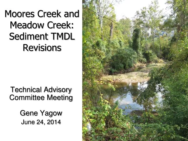
Moores Creek and Meadow Creek: Sediment TMDL Revisions. Technical Advisory Committee Meeting Gene Yagow June 24, 2014. Changes. Updated MS4 boundaries using 2010 CUA and latest City of Charlottesville boundary. Revised Moores Creek watershed boundary

E N D
Moores Creek and Meadow Creek: Sediment TMDL Revisions Technical Advisory Committee Meeting Gene Yagow June 24, 2014
Changes Updated MS4 boundaries using 2010 CUA and latest City of Charlottesville boundary. Revised Moores Creek watershed boundary Revised VDOT corridor width (20 m total)
Impaired Segments and Watersheds New MS4/Old UGA Boundaries
Changes in Land Use Distribution 2012 vs 2014 TMDL Modeling 2014 AllForX vs TMDL Modeling
Initial Regression Rural Urban Two comparison watersheds not appropriate. Distinct separation of impaired watersheds. All loads calculated using 2009 NASS land use data.
Final Regressions Rural Urban
Sediment TMDL and MOS Endpoints All loads calculated using 2009 RRBC/NASS land use data.
Next Steps • Clarify MS4 boundaries • Revise TMDL load simulations • Boundary re-adjustments • Incorporate BMPs, effective June 2012 • Create load reduction (allocation) scenarios • Write and submit draft TMDL report for comment
Project Timeline • TMDL • Next TAC Meeting? – discuss allocations • Final Draft TMDL submitted to DEQ: September 30th • Implementation Plan (IP) • Oct-Dec 2014: Update of local BMP inventories • Jan-Feb 2015: Model revisions to IP
Contact Information: Gene Yagow Biological Systems Engr. Dept. Virginia Tech eyagow@vt.edu540-231-2538 ftp://bsesrv214.bse.vt.edu/Yagow/VRO1_AllForX/