Download
1 / 24
240 likes | 265 Views
Explore consequences of 1950s drought conditions and increased pumping on Barton Springs discharge and water levels. Includes groundwater availability models, aquifer concepts, and future study suggestions.

E N D
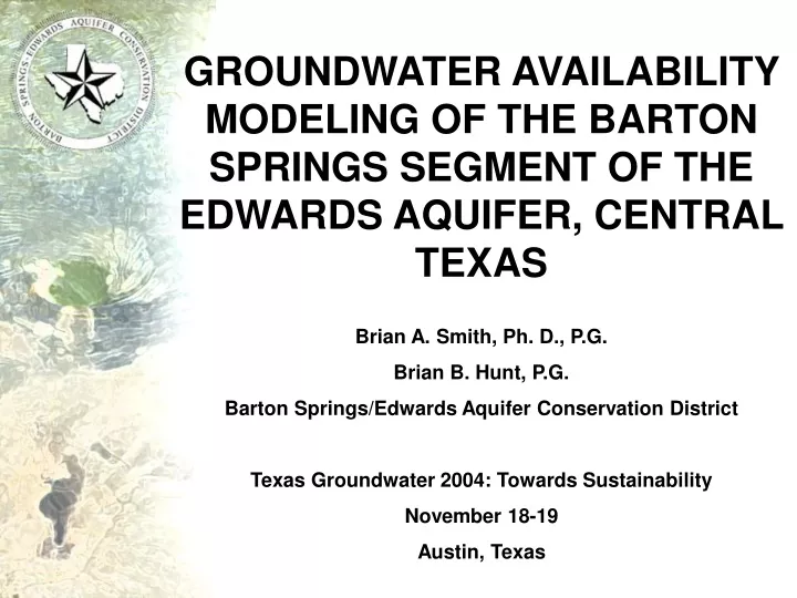
GROUNDWATER AVAILABILITY MODELING OF THE BARTON SPRINGS SEGMENT OF THE EDWARDS AQUIFER, CENTRAL TEXAS Brian A. Smith, Ph. D., P.G. Brian B. Hunt, P.G.Barton Springs/Edwards Aquifer Conservation District Texas Groundwater 2004: Towards Sustainability November 18-19 Austin, Texas
FUNDAMENTAL PROBLEM What are the impacts to discharge from Barton Springs and water levels under a recurrence of 1950’s drought conditions and increasing pumping? + = IMPACTS? 1950’sdrought (7-year drought) Pumping
OUTLINE • Hydrogeologic Setting • 2000 and 2001 Groundwater Availability Models (GAM) • Recalibration of GAM to 1950’s Drought Conditions • Impacts to Barton Springs Discharge • Impacts to Water Levels and Wells • Conclusions • Future Studies
Conceptual Aquifer Model Contributing zone • Most of the recharge to the aquifer occurs via surface streams in discrete (karst) recharge features. • Limited contribution from the Trinity Aquifer and saline-water zone. Trinity Edwards
Barton Springs Aquifer • Sole source of drinking water to more than 50,000 people • Home to endangered species at springs • Important source of recreation for Austin
Barton Springs Aquifer • Sole source of drinking water to more than 50,000 people • Home to endangered species at springs • Important source of recreation for Austin
Barton Springs Aquifer • Sole source of drinking water for more than 50,000 people • Home to endangered species • Important source of recreation for Austin
Permitted and Actual Pumpage Note: 1 cfs = 448 gal/min = 235,889,000 gal/yr = 723 acre-ft/yr
Drought of Record: Rainfall 1950-1956 33.0 inches, average annual Camp Mabry, Austin, Texas
Drought of record: Springflow Barton Springs
Drought of Record: Water Levels Drought of record potentiometric map (feet above msl) Drought of record saturated thickness map (feet)
Groundwater Availability Model • GAM is an initiative by TWDB • to develop state of the art, publicly available, numerical groundwater flow models to provide reliable information of groundwater availability in Texas. • Barton Springs GAM: • Scanlon et al., 2000 and 2001 • Recalibrated to better-match 1950’s drought conditions
Groundwater Model Advisory Team • Raymond Slade- Retired, USGS • Rene Barker- Retired, USGS • Nico Hauwert- City of Austin • David Johns- City of Austin • Jack Sharp- UT Dept. of Geosciences • Bridget Scanlon- UT BEG • Robert Mace- TWDB • Eric Strom- USGS
GAM SimulatedSpring Flow Simulated spring flow under 1950’s drought and various pumping rates
Evaluation of Hydrogeologic Data to Quantify Impacts to Wells • Stratigraphy and geologic structures • Measured water levels • Specific capacity and pumping test data • Well construction data • Simulated pumping drawdown from GAM
RESULTS: impacts to wells Current permitted pumpage • 7% of wells may be negatively impacted under 1950’s drought conditions alone. • 19% of the wells in the District may be negatively impacted under 1950’s drought and 10 cfs pumping.
CONCLUSIONS:Spring Flow • For each 1 cfs of groundwater pumped from the aquifer under 1950’s drought conditions, discharge from Barton Springs will diminish by about the same rate. • At current permitted pumping levels (10 cfs), Barton Springs discharge is predicted to decrease to about 1 cfs on a monthly average, although may temporarily cease at times.
CONCLUSIONS:Impacts to Wells • At current permitted pumping levels (10 cfs), as many as 19% of wells in the District may be negatively impacted. Most of the impacts are to wells that only partially penetrate the aquifer. • The southwestern portion of the aquifer is most threatened from low water levels and increased pumping rates during a recurrence of 1950’s drought conditions.
Future Studies Next Generation of Model • Conduit/diffuse-flow model • Variable hydraulic conductivities Aquifer Characterization • Saline-water zone studies • Dye-trace studies • Edwards-Trinity hydraulic connection • Southern groundwater divide