Download
1 / 27
280 likes | 619 Views
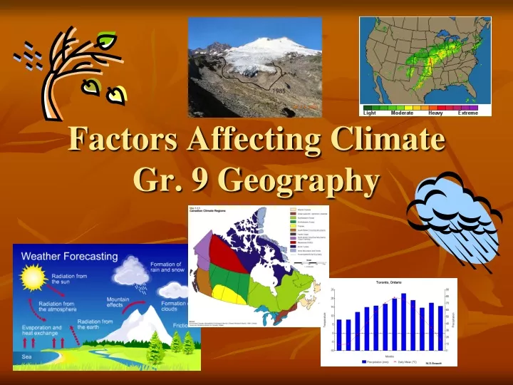
Explore the key factors influencing climate patterns worldwide, such as latitude, winds, ocean currents, elevation, and more. Learn the difference between climate and weather and how various elements interact to shape different climate types.

E N D
What is the difference between climate and weather? • Climate is the average of daily atmospheric conditions over a very long period of time. • Weather is the daily recorded atmospheric conditions. Climate: I know I will need a coat during a Canadian winter. Weather: I will need boots today because it snowed.
Latitude • Rays hit the earth at an angle because of the tilt of the earth. • When the rays hit at an angle, the sunlight is less intense. • Seasons change because of the earth’s relationship to the sun.
Because Canada covers a range in latitude, we can find that average annual temperature is very different from the north to the south. Iqaluit Halifax
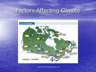
Winds • The movement of large air masses generally change our weather from day to day. • Our winds and weather mostly come from the west in Canada; therefore, they are called the ‘westerly winds’
Chinook A warming wind from the ocean found out west. It can raise the temperature from -20 degrees to +20 degrees Celsius in a matter of hours.
Ocean Currents • There are numerous currents in the ocean that carry water of different temperatures • Warm water near the equator may be brought north. • This water warms the air above it and is brought onto land by winds.
Lakes and oceans heat up and cool down more slowly than landmasses. • In the summer, they stay cool and cool the land, in the winter they retain their heat and make the winter mild. • Maritime climate near the water. Vancouver in January (maritime climate) Toronto in January (continental climate)
Elevation • As one goes to places of higher altitude (away from sea level) the temperature drops. • Air rises and expands due to lack of air pressure. It gives away its heat the more it expands. • Do you see a pattern?
Environmental Lapse Rate • Air temperature decreases by 1°C per 100m (10°C per 1000m) until it reaches the condensation level • Air temperature decreases by 0.6°C per 100m (6°C per 1000m) after the condensation level.
Near Water • Water evaporates from the body into the air and forms a cloud. • The cloud is then moved onto land by an air mass and releases the water in the form of precipitation. Water has a moderating effect on land. Places near large bodies of water are warmed in the winter and cooled in the summer. This also means that the range of temperature in places near water is less.
Continental Climate • Continental climate temperature range throughout the year (maximum – minimum) is large because there is no water body to moderate the temperature.
Maritime Climate • Maritime climate has a smaller temperature range because the water cools off the summers and warms up the winters.
Atlantic vs. Pacific Maritime • Both of these climates are classified as Maritime because of the temperature range and annual precipitation. • However, the Atlantic currents are moderated by Cold Labrador current running up the coast • This causes the average annual • temperatures to be lower than in the Pacific, which has a warm current up the coast
Continental vs. Maritime • Maritime climates receive a total of more than 1000mm of precipitation annually. Continental recieve less • Mixed climates have one of these criteria over or close to the maximum • Continental climates have a large range, over 25 degrees from the coolest to warmest monthly average temp. Maritime climates have a much smaller range
Relief Precipitation As air travels up the side of the mountain, it thins, cools and condenses into rain. This is one of the reasons mountains have snow caps.
Relief Continued… • The windward slope receives the precipitation and the leeward side has arainshadow, and is therefore, dry.
Climate Tables • Used for creating climate graphs • Give two pieces of information: • Average monthly temperature • Total monthly precipitation • From this you can calculate: • Total annual precipitation • Average annual temperature • Temperature range • Determine whether it is a maritime or continental climate • Growing Season
Sample Table Mean annual temperature: add the monthly temperatures and divide by 12 Total annual precipitation: add all monthly precipitation values Temperature range: maximum temperature – minimum temperature Maritime or continental climate? More than 1000mm of precipitation and small temperature range? Maritime Less than 1000mm of precipitation and large temperature range? Continental
Growing Season • For growing season, there has to be a monthly sustained temperature of 5.5 degrees Celcius. This is shown on a Climate Graph by drawing a straight green line across the graph and shading the months over 5.5 degrees green
The Climate Acronym Latitude Ocean Currents Wind Elevation Relief Near Water