Download
1 / 14
160 likes | 226 Views
Explore the gap between spatial phenomena and digital representation, understand error propagation, and learn about uncertainty models in GIS with examples and discussions on accuracy reporting. Discover how uncertainty models are used to characterize spatial data and simulate results in GIS applications, with a focus on addressing key issues in data uncertainty.

E N D
CHARACTERIZING SPATIAL DATA UNCERTAINTY IN GIS Ashton Shortridge Michael Goodchild Pete Fohl
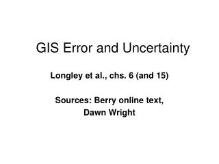
Uncertainty: the gap between a spatially extensive phenomenon and its digital representation.
Propagation: manner in which data error affects the results of operations on the data.
Accuracy Reporting • Error may be known at a small number of locations, and uncertainty about the data may be communicated for the entire dataset from this sample. Examples: • USGS 7.5’ DEMs: RMSE of 28 points • Landcover: Confusion matrix or PCC
Global accuracy measures are INADEQUATE • Assume no trends in accuracy exist throughout the data domain. • Ex: Absolute magnitude of DEM elevation error correlated with elevation. • Assume independence of error at neighboring locations. • Error always spatially autocorrelated.
Uncertainty Model Models are used to characterize uncertainty at every point (or at some subset of points which are of interest) in a data set. Model uses existing data and information about accuracy of that data. Model must characterize the spatial persistence, or autocorrelation, of the phenomenon. Model produces a statistically valid realization of the true phenomenon.
Summarizing Results What percentage of a landcover map is wetland? Calculate a 200 meter buffer around all wetlands. Generate a suitability map.
An Example • Gap land cover map for Goleta Quad, CA. • Truth data from McGwire (1992) • Uncert. model: Goodchild & Wang (1988) • Confusion Matrix:
Model Discussion • Filter used to model spatial dependence of phenomenon - ad hoc. • Doesn’t honor matrix class proportions. • Some boundaries shift more than others • Inclusions dependent on matrix probability • Variance generally reduced by filter, mean affected in complex ways
Proposed GIS/metadata linkage for uncertainty modeling • User specifies an application to the GIS. • Application consists of a series of operations on the data, culminating in an “answer”, or application result. • Data includes uncertainty metadata: • Appropriate model • Parameters for the model
Role of GIS • GIS should: • Identify the type of result desired • Identify the manner in which uncertainty may affect that outcome • Employ the appropriate uncertainty model • Summarize results to user
Plenty of issues remain.... • Identification of appropriate models • Development of models in data production • Linkage of GIS to metadata/propagation routines • Communication of results • Education of user community