Download
1 / 17
180 likes | 1.02k Views
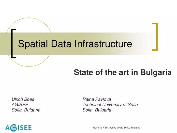
Spatial Data Infrastructure. State of the art in Bulgaria. Ulrich Boes Raina Pavlova AGISEE Technical University of Sofia Sofia, Bulgaria Sofia, Bulgaria. Outline. SDI – what is it ? Organisation of SDI study in Bulgaria State of Play of SDIs in Bulgaria Best practice

E N D
Spatial Data Infrastructure State of the art in Bulgaria Ulrich Boes Raina Pavlova AGISEE Technical University of Sofia Sofia, Bulgaria Sofia, Bulgaria National PSI Meeting 2008, Sofia, Bulgaria
Outline • SDI – what is it ? • Organisation of SDI study in Bulgaria • State of Play of SDIs in Bulgaria • Best practice • INSPIRE in Bulgaria • Conclusions
SDI – what is it ? . for : Geo Spatial Data and : • To increase access & availability of geo spatial data • To share data • To realise & foster services for citizens NOW – via INTERNET
SDI study in Bulgaria- Organisation • Questionnaires’ distribution • Emails – to more then 70 addresses.... • Tel. calls, interviews • Targets organisations • State organisations( research institutes , National Statistical Institute, Ministries) • Municipalities • Nature Park Directorates • Private companies • Our old studies on SDI ( started 2002)
What did we get back . • Telephone conversations 50 , or more ….?
What did we speak about ? • Some problems, difficult to understand: (mainly with Municipalities) • What is NUTS ? • What is SDI ? • And Spatial Data ? ? • We did not hear about INSPIRE !!!! • Some problems with English Language • and - NO TIME to work on the questionnaire
Questionnaires filled in by: • National level - State organisations: • National Statistical Institute • Soil Resources Agency –Ministry of Agriculture and Foods • Space Research Institute – Bulgarian Academy of Science • Local level – Municipalities: • Municipality of Burgas • Municipality of Dobrich • Regional level - Nature Parks Directorates : • Vitosha Park – Sofia region • Bulgarka Park - Gabrovoregion • Strandja Park – Burgas region • Private Companies • GIS-Sofia Ltd
State of Play of SDIs in Bulgaria – general -1; Data • Data owners & providers : • ministries, state agencies, research institutes, municipalities, private companies • Data sharing and exchange – nearly nothing • Data access • mostly by request ( off-line) • very few on-line ( private companies and some municipalities) • Data services – mostly off-line and few on-line (private companies)
State of Play of SDIs in Bulgaria – general - 2 ; Technology • Technology: • ESRI, • ORACLE • AutoCAD ….. • Standards • Local (ZEM,…) • Vendor standards ( …) • Open standards - starting phase (in new developments)
State of Play of SDIs in Bulgaria – general – 3; Legislation • Legislation - laws • Law of cadastre and properties register • Law of geodesy and cartography • Law of Black Sea Cost Development • Law of Protected Areas • Law of Spatial Data Access – draft • Human resources • State administration - is not well prepared • Companies – experts well prepared • Universities – still we need more
State of Play of SDIs in Bulgaria – detailed from the survey - 1; SDI SDI was understood as : • – map displayed on the screen ( static data) • Topographic maps • Street maps ... • - GIS for internal use ; data on request • Corporative GIS – in development phase • Funding mechanisms- from government , European and national projects • Web services - exist very rarely
State of Play of SDIs in Bulgaria – detailed from the survey - 2; Data Metadata • in municipalities – does not exist • in state organisations- very few • in nature parks - does not exist • in private sector- very few Officials – responsible for geo data • in municipalities – Information Departments • in state organisations- different departments • in nature parks - Information Departments • in private sector – special departments
State of Play of SDIs in Bulgaria – detailed from the survey – best practices National Level • Soil Resources Agency • Large Scale Digital State Soil Map Local (Sub-national) SDIs • State - Burgas Municipality (www.burgas.bg) • Administrative map, Municipality Real Estate Properties Map, Temporary Traffic Organisation map • GIS – on-line • Local Private - Sofia-GIS Ltd • Capital Municipality Inormation System with Cadatral and urban plans and other geographic data
INSPIRE in Bulgaria • Directive 2007/2/ЕС – published in EC OJ on 25 April 2007, in force since 15 May 2007 – INSPIRE DIRECTIVE Bulgarian Actions • Resolution of Council of Ministers on 19 April 2007 • E-governance Act accepted by the Parliament on 30 May 2007 (S.G. № 46/12 June 2007) • Order by the Prime Minister (17 September 2007) to form Inter-ministerial work-group • Resolution of Council of Ministers on 31 January 2008 for approval of ACTION PLAN for INSPIRE DIRECTIVE (SPATIAL DATA) implementation • Resolution of Council of Ministers on 22 February 2008 – nominates SAITS as an institution responsible for transposition and implementation of the Directive INSPIRE. • Law Spatial Data Access – draft , in February 2009 for pulic discussion
Some thoughts – after the survey • Administration capacity building – what to do more ? To increase Awareness and Education : • Information materials – written in Bulgarian ( native language) • Demonstration materials – • Still images , Pictures • On-line connection to working SGI as best case • SDI – to be explained in simple ,understandable language (too complicated ) • INSPIRE- to find right people to speak about • Workshops with practice – presenters of working SDIs • Improvement of international experience - Involvement in European and national projects ( as end-users, partners…)
Instead of conclusions: what is SDI ??? • It is not Mathematics – no formulas ….. • SDI by now is more intuitive : - from practice & experience – that brings (delivers) Spatial Data & Services to users - via New Technologies
Thank you for your attention ! Raina Pavlova Association for Geospatial Information inSouth-East Europe AGISEE Sofia, Bulgariaagisee@agisee.org Tel/Fax +359 2 8702878