1 / 28

Between Social Media and GIS: Mapping History, Revolutions, and Catastrophe

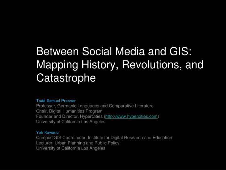
Between Social Media and GIS: Mapping History, Revolutions, and Catastrophe. Todd Samuel Presner Professor, Germanic Languages and Comparative Literature Chair, Digital Humanities Program Founder and Director, HyperCities ( http://www.hypercities.com ) University of California Los Angeles

sari
Download Presentation

Between Social Media and GIS: Mapping History, Revolutions, and Catastrophe

An Image/Link below is provided (as is) to download presentation Download Policy: Content on the Website is provided to you AS IS for your information and personal use and may not be sold / licensed / shared on other websites without getting consent from its author. Content is provided to you AS IS for your information and personal use only. Download presentation by click this link. While downloading, if for some reason you are not able to download a presentation, the publisher may have deleted the file from their server. During download, if you can't get a presentation, the file might be deleted by the publisher.

E N D

Presentation Transcript


  1. Between Social Media and GIS:Mapping History, Revolutions, and Catastrophe Todd Samuel Presner Professor, Germanic Languages and Comparative Literature Chair, Digital Humanities Program Founder and Director, HyperCities (http://www.hypercities.com) University of California Los Angeles Yoh Kawano Campus GIS Coordinator, Institute for Digital Research and Education Lecturer, Urban Planning and Public Policy University of California Los Angeles

  2. http://inscriptions.etc.ucla.edu

  3. http://now.hypercities.com

  4. http://sendai.hypercities.com

  5. Hypercities Now

  6. 2004Before mash-ups

  7. 2011After mash-ups

  8. Can save lives? #anpi #311care #j_j_help #hinan

  9. 30 days that Hypercities archived tweets from Sendai 689,054tweets 83% retweets 2.6% geotagged tweets

More Related