Assessment of Land Use and Land Cover Changes on Soil Erosion Potential Based on RS and GIS, Case Study: Gharesou, Iran
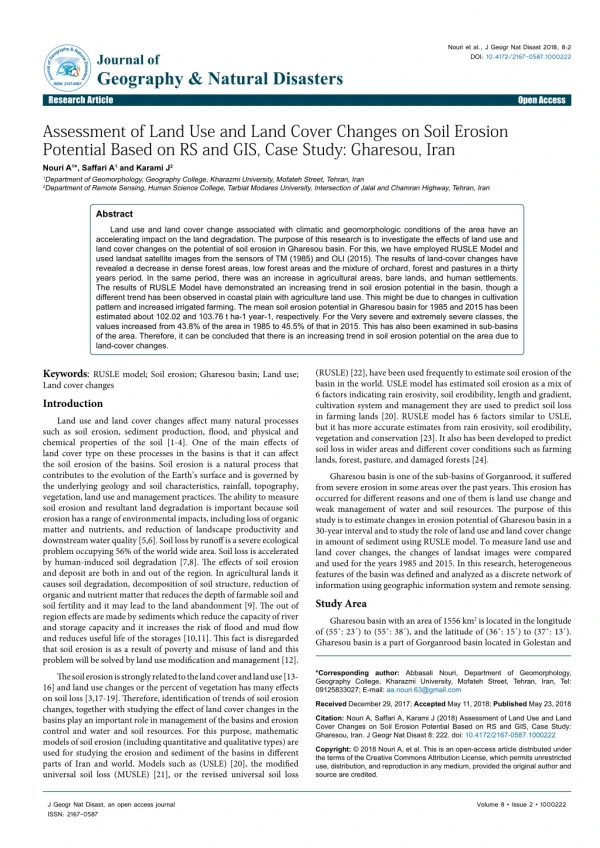
Land use and land cover change associated with climatic and geomorphologic conditions of the area have an accelerating impact on the land degradation. The purpose of this research is to investigate the effects of land use and land cover changes on the potential of soil erosion in Gharesou basin. For this, we have employed RUSLE Model and used landsat satellite images from the sensors of TM (1985) and OLI (2015). The results of land-cover changes have revealed a decrease in dense forest areas, low forest areas and the mixture of orchard, forest and pastures in a thirty years period. In the same period, there was an increase in agricultural areas, bare lands, and human settlements. The results of RUSLE Model have demonstrated an increasing trend in soil erosion potential in the basin, though a different trend has been observed in coastal plain with agriculture land use. This might be due to changes in cultivation pattern and increased irrigated farming. The mean soil erosion potential in Gharesou basin for 1985 and 2015 has been estimated about 102.02 and 103.76 t ha-1 year-1, respectively. For the Very severe and extremely severe classes, the values increased from 43.8% of the area in 1985 to 45.5% of that in 2015. This has also been examined in sub-basins of the area. Therefore, it can be concluded that there is an increasing trend in soil erosion potential on the area due to land-cover changes.
★
★
★
★
★
106 views • 9 slides
