Download
1 / 34
350 likes | 369 Views
Explore the impact of landslides on Caribbean urban areas and propose mitigation strategies through hazard risk assessments and urban resilience principles.

E N D
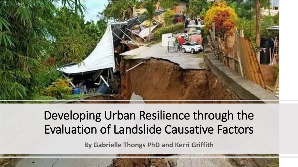
Developing Urban Resilience through the Evaluation of Landslide Causative Factors By Gabrielle Thongs PhD and Kerri Griffith
Background • In SIDS of the Caribbean the intensity and frequency of disasters has been resulting in significant socio-economic and environmental impacts (White et al. 2014) • The Caribbean with its complex range of cities is subjected to a series of shortcomings such as environmental degradation, land scarcity, population growth and high population density urban areas • Colonial history and rapid urbanization has resulted in urban sprawl into hillsides around urban centres which led to the development of housing and infrastructure on unsuitable and unstable land. • As a result there has been an exacerbation of landslides.
Background • Landslides are considered to be one of the most dangerous disasters that occur as a result of both man-made and natural processes. • For the time period 2004 to 2013 there was an estimated 611 major landslides within the Caribbean and Latin America where approximately 11,630 persons lost their lives (Sepúlveda and Petley 2015). • Therefore, to increase urban resilience it is necessary to identify the underlying causation factors of Landslides through the use of hazard risk assessments.
RESILIENCE The ability of a system, community or society exposed to hazards to resist, absorb, accommodate, adapt to, transform and recover from the effects of a hazard in a timely and efficient manner, including through the preservation and restoration of its essential basic structures and functions through risk management (UNDRR 2017) URBAN RESILIENCE The ability of an urban system-and all its constituent socio-ecological and socio-technical networks across temporal and spatial scales-to maintain or rapidly return to desired functions in the face of a disturbance, to adapt to change, and to quickly transform systems that limit current or future adaptive capacity. (Meerow et al 2016)
Objectives This research aims to • Combine quantitative statistical analyses, geoinformatics, and the principles of urban resilience • Determine the causative factors of landslides • Propose suitable urban resilience mitigation and adaptation strategies based on these causative factors
Study Area The proposed study area is Trinidad • Population – 1.3 million persons • Area – 4,826 km² - Density – 268.12/km² - Topography – undulating land separating three main mountain ranges • Land Cover Houses and Buildings - 11.3% Agricultural Land and Rangeland - 21.2% Forest and Wetlands – 67.5 %
Phase 1 - Inventory Map • Landslide events were mapped throughout Trinidad. • The Global Positioning System (GPS) coordinates of these events were collected, sorted and entered into a GIS landslide inventory database for Trinidad.
Phase 2Literature Review of Causative Factors/Input data • Historical Landslide Data • Movement Velocity and depth • Deposit Thickness • Intensity • Depth of Erosion • Slope Angles • Slope lengths • Effective Soil Cohesion • Effective Soil Depth • Proximity to Tectonic Features • Lithological Formation • Proximity to Road Network • Proximity to Drainage Network • Land Cover
Data Available • Proximity to Tectonic Features • Proximity to Drainage • Land Cover • Lithology • Rainfall (mm) • Proximity to Road Network (mm) • Slope (%)
Phase 4Information Value Model (IVM) • The statistical calculation, Ii, measures the influence of landslide causation factors governing landslide susceptibility in the respective study area. The information value equation reads: Where N = total number of grid cells S = number of grid cells with landslide Si = Number of grid cells with the parameter i and containing landslide Ni = number of grid cells with the parameter i
Results • The calculated information values varied from -1.281 to 0.820 • The five highest values, in order of priority, were: • Slope (0.820), • Urban Land Cover (0.729), • Proximity to the Road Network (0.561), • Rainfall (0.508), • Lithology (0.403), • Proximity To The Drainage Network (0.309), And • Proximity To Tectonic Features (0.309).
Landslide on the Lady Young Road, Motorist narrowly escaped injury. -Trinidad Express, 2018.
Phase 5Urban Resilience Methods The ability of an urban system-and all its constituent socio-ecological and socio-technical networks across temporal and spatial scales-to maintain or rapidly return to desired functions in the face of a disturbance, to adapt to change, and to quickly transform systems that limit current or future adaptive capacity (Meerow et al 2016)
Straw Wattles Straw wattles are compressed cylinders of straw that are embedded along contour lines on burnt slopes (Singh 2010).
Straw Wattles Installation Source: PPI Engineering Inc. 2017.
Live Crib Walls An Interlocking arrangement of logs that stabilizes the base of slopes while providing an environment for the growth of vegetation (Fay et al. 2012).
Live Crib Walls Installation Source: Bella et al. 2017
Tire Retaining Walls The installation of tire retaining walls can be done at the base of slopes as a form of slope stabilization.
Tire Retaining Walls Source: Appropedia
Hillside Development Policy 1988 • The construction of homes and buildings is prohibited above 300 ft contour lines. • Areas occurring between 300 – 700 ft belonging to land class I – V is dedicated to agricultural activities • Areas occurring between 300 – 700 ft belonging to land class VI or VII should remain under forest cover • Areas above 700 ft must remain under forest cover • Any other unauthorized development must be evaluated and either relocated or regularized accordingly.
Limitations • 2010 landslide data • Lack of data (fit gap analysis) • Movement velocity and depth • Deposit Thickness • Intensity • Depth of Erosion • Slope Lengths • Effective Soil Cohesion • Effective Soil Depth
Conclusion • This research successfully combined quantitative statistical analyses through the use of the Information Value Model to determine the three main contributors to landslides in Trinidad. • The three main contributors to landslides in Trinidad were: • Slope, • Urban Land Cover and • Proximity to Road Networks. • After ascertaining these causation factors urban resilience methods were proposed.
References • Bella, Gianluca, Monica Barbero, Fabrizio Barpi, Mauro Borri-Brunetto, and Daniele Peila. 2017. "An Innovative Bio-engineering Retaining Structure for Supporting Unstable Soil." Journal of Rock Mechanics and Geotechnical Engineering 9, no. 2: 247-59. Accessed June 9, 2019. doi:10.1016/j.jrmge.2016.12.002. • Fay, Laura, Michelle Akin, and Xianming Shi. 2012. Cost-effective and Sustainable Road Slope Stabilization and Erosion Control. Washington, DC: TRB. • Holanda, Francisco Sandro Rodrigues, and Igor Pinheiro Da Roch. 2011. "Streambank Soil Bioengineering Approach to Erosion Control." Progress in Molecular and Environmental Bioengineering - From Analysis and Modeling to Technology Applications. doi:10.5772/20659. • Sepúlveda, S. A., and D. N. Petley. 2015. “Regional Trends and Controlling Factors of Fatal Landslides in Latin America and the Caribbean.” Natural Hazards and Earth System Sciences Discussions, vol. 3, no. 4, pp. 2777–2809., doi:10.5194/nhessd-3-2777-2015 • Singh, Ashish Kumar. 2010. "Bioengineering Techniques of Slope Stabilization and Landslide Mitigation." Disaster Prevention and Management: An International Journal 19, no. 3: 384-97. doi:10.1108/09653561011052547. • White, Philip, Mark Pelling, Kunal Sen, David Seddon, Steve Russel, and Roger Few. 2004. "Disaster Risk Reduction: A Development Concern." Accessed May 29, 2019. https://www.preventionweb.net/files/1070_drrscopingstudy.pdf. • Xu, Ling, Chongyang Gao, and Dongdong Yan. 2018. "Interaction between Vetiver Grass Roots and Completely Decomposed Volcanic Tuff under Rainfall Infiltration Conditions." Geofluids: 1-8. doi:10.1155/2018/5219592.