Download
1 / 10
100 likes | 196 Views
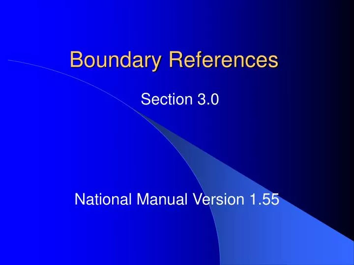
Boundary References. Section 3.0. National Manual Version 1.55. Subplot Number. Center subplot North subplot Southeast subplot Southwest subplot. Plot Type. New item. Subplot Microplot. Boundary Change. New item. 0 No change 1 Real change on the ground

E N D
Boundary References Section 3.0 National Manual Version 1.55
Subplot Number • Center subplot • North subplot • Southeast subplot • Southwest subplot
Plot Type New item • Subplot • Microplot
Boundary Change New item • 0 No change • 1 Real change on the ground • 2 Change to correct an OBVIOUS error by old crew • 3 Procedural change
Contrasting ConditionLeft and Right AzimuthsCorner Azimuth and Distance No change
Differences Condition Number at Subplot Center moved to Subplot Level No more dot count Map all conditions on each subplot regardless of the amount that falls on subplot Microplot mapping Shoot azimuths in the field instead of interpolating from the subplot boundary on the diagram • Do not map the following “indistinct” boundaries on a subplot: • Do not map the 120 foot line on a subplot when bisecting a point that is less than 90 degrees • Stand Size must be at least 2 classes apart for it to delineate separate conditions on a subplot
SK 1, 3, 9 Forest area that narrows to a point with no distinct boundary. The whole subplot is forest. Initial, or replacement plots are no problem. The whole subplot is forest. GREEN AREA: Present LU = 01 New Past LU = 01 OLD LU = Not Required on SK 1 and SK 3
Document Change • Georgia only….until Arkansas remeasures the green manual • On SK2 plots, the 120 foot line was mapped on the subplot last survey • Need to show the area on the subplot that switched land uses due to landclearing, reversions, and procedural change • Record the same boundary as previous crew • Combination of Present Land Use, New Past Land Use, and OLD Land Use will indicate the procedural change • Record Similar Identified Condition Number
SK 2 Forest area that narrows to a point with no distinct boundary. The whole subplot is forest. Last time the green area was forest and the red area was nonforest. Record the old crew’s boundary. Red area is separate condition. GREEN AREA: Present LU = 01 New Past LU = 01 OLD LU = 01 RED AREA: Present LU = 01 New Past LU = 01 OLD LU = Nonforest Record Similar Identified Condition > 0