Download
1 / 25
250 likes | 263 Views
Developing a Services Oriented Architecture for Water Resources Data. Access streaming data, observations, and web services for hydrology research.

E N D
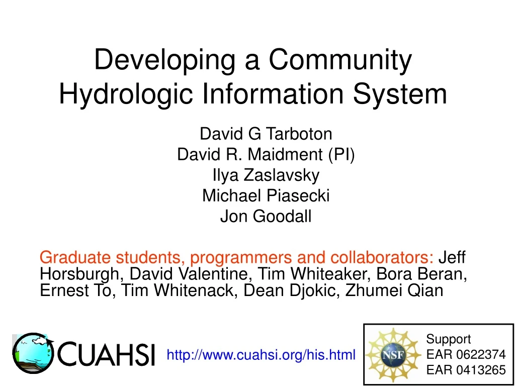
Support EAR 0622374 EAR 0413265 Developing a Community Hydrologic Information System David G Tarboton David R. Maidment (PI) Ilya Zaslavsky Michael Piasecki Jon Goodall Graduate students, programmers and collaborators: Jeff Horsburgh, David Valentine, Tim Whiteaker, Bora Beran, Ernest To, Tim Whitenack, Dean Djokic, Zhumei Qian http://www.cuahsi.org/his.html
A Services Oriented Architecture for Water Resources Data • Waters Network Information System • Observations Data Model • Web Services
A Services Oriented Architecture for Water Resources Data • Waters Network Information System • Observations Data Model • Web Services
GetSites GetSiteInfo GetVariables GetVariableInfo GetValues Hydrologic Information Server WaterOneFlow services DASH – data access system for hydrology ArcGISServer Geospatial Data Observations Data Microsoft SQLServer Relational Database
Iowa – Clear Creek Watershed Uses streaming data loader Precipitation PI: Craig Just, Marian Muste, Anton Kruger; DM: Marian Muste, Dong Su Kim, Nick Arnold
Montana – Crown of the Continent Snow Depth (m) Glacier on ice weather station 4 0 2007: July August PI: Johnnie Moore, … DM: Toby Meierbachotol, Aaron Deskins
Utah – Little Bear River and Mud Lake Turbidity David Stevens, Jeff Horsburgh, David Tarboton, Nancy Mesner, Kim Schreuders
A Services Oriented Architecture for Water Resources Data • Waters Network Information System • Observations Data Model • Web Services
What are the basic attributes to be associated with each single data value and how can these best be organized?
Point Observations Information Model http://www.cuahsi.org/his/webservices.html Utah State Univ Data Source GetSites Little Bear River Network GetSiteInfo Little Bear River at Mendon Rd Sites GetVariables GetVariableInfo Dissolved Oxygen Variables GetValues 9.78 mg/L, 1 October 2007, 6PM Values {Value, Time, Qualifier, Offset} • A data source operates an observation network • A network is a set of observation sites • A site is a point location where one or more variables are measured • A variable is a property describing the flow or quality of water • A value is an observation of a variable at a particular time • A qualifier is a symbol that provides additional information about the value • An offset allows specification of measurements at various depths in water
A relational database at the single observation level (atomic model) Stores observation data made at points Metadata for unambiguous interpretation Traceable heritage from raw measurements to usable information Standard format for data sharing Cross dimension retrieval and analysis Streamflow Groundwater levels Precipitation & Climate Soil moisture data Water Quality Flux tower data CUAHSI Observations Data Model
CUAHSI Observations Data Model http://www.cuahsi.org/his/odm.html
A Services Oriented Architecture for Water Resources Data • Waters Network Information System • Observations Data Model • Web Services
WaterOneFlow Web Services • A major focus of Web services is to make functional building blocks accessible over standard Internet protocols that are independent from platforms and programming languages. • The Web Services Description Language (WSDL, pronounced 'wiz-dəl' or spelled out, 'W-S-D-L') is an XML-based language that provides a model for describing Web services. Defined by the World Wide Web Consortium (W3C)
Set of query functions Returns data in WaterML WaterOneFlow Ilya Zaslavsky and David Valentine, SDSC
Example: Matlab use of CUAHSI Web Services % create NWIS Class and an instance of the class createClassFromWsdl('http://water.sdsc.edu/wateroneflow/NWIS/DailyValues.asmx?WSDL'); WS = NWISDailyValues; % GetValues to get the data siteid='NWIS:02087500'; bdate='2002-09-30T00:00:00'; edate='2006-10-16T00:00:00'; variable='NWIS:00060'; valuesxml=GetValues(WS,siteid,variable,bdate,edate,'');
Parse XML and Analyze % Parse the XML into a Matlab object to work with valuesobj=xml_parseany(valuesxml); ... plot(date,flowval);datetick;
Conclusion: Web services work! The CUAHSI Hydrologic Information System (HIS) is a geographically distributed network of hydrologic data sources and functions that are integrated using web services oriented architecture so that they function as a connected whole. For more information: http://www.cuahsi.org/his.html
Conclusions • Hydrologic Information Server is functioning at 11 WATERS Network testbed sites across the U.S. • Data are published in a consistent format (WaterML) and are thematically synthesized in Hydroseek with water agency data • Applications and analyses can operate seamlessly over the Waters Network data services • A lot more to be done – GIS, weather and climate, remote sensing, simulation modeling, interpretive analysis, ….. Digital Watershed development!
Advancement of water science is critically dependent on integration of waterinformation Databases: Structured data sets to facilitate data integrity and effective sharing and analysis. - Standards - Metadata - Unambiguous interpretation Analysis: Tools to provide windows into the database to support visualization, queries, analysis, and data driven discovery. Models: Numerical implementations of hydrologic theory to integrate process understanding, test hypotheses and provide hydrologic forecasts. Models ODM Web Services Databases Analysis
HIS Websitehttp://www.cuahsi.org/his.html • Project Team – Introduces members of the HIS Team • Data Access System for Hydrology – Web map interface supporting data discovery and retrieval • Prototype Web Services – WaterOneFlow web services facilitating downlad of time series data from numerous national repositories of hydrologic data • Observations Data Model – Relational database schema for hydrologic observations • HIS Tools – Links to end-user applications developed to support HIS • Documentation and Reports – Status reports, specifications, workbooks and links related to HIS • Feedback – Let us know what you think • Austin Workshop – Material from WATERS workshop in Austin, TX, Nov 14-17, 2006
AREA 2 3 AREA 1 12 Questions?