Download
1 / 18
180 likes | 192 Views
The Community Hydrologic Information System (HIS) aims to enhance hydrologic science by providing users with access to more and better data for testing hypotheses and analyzing processes. This system integrates water quantity and quality data from various sources and facilitates data exploration, analysis, and modeling. It uses web services, GIS, and various programming languages to store, access, and analyze data. HIS also includes tools for data retrieval, data storage, controlled vocabulary management, and data sharing.

E N D
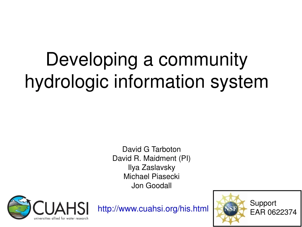
Developing a community hydrologic information system David G Tarboton David R. Maidment (PI) Ilya Zaslavsky Michael Piasecki Jon Goodall Support EAR 0622374 http://www.cuahsi.org/his.html
CUAHSI Hydrologic Information System Models Databases Analysis Goal: Enhance hydrologic science by facilitating user access to more and better data for testing hypotheses and analyzing processes • Advancement of water science is critically dependent on integration of water information • It is as important to represent hydrologic environments precisely with data as it is to represent hydrologic processes with equations Water quantity and quality Rainfall & Snow Soil water Meteorology Remote sensing
Data Access System for Hydrology (DASH) Website Portal and Map Viewer Preliminary data exploration and discovery. See what is available and perform exploratory analyses 3rd party data servers e.g. USGS, NCDC Internet Service Oriented Architecture for Water Resources Data Downloads Uploads Analysis and Modeling applications HTML -XML Data access through web services GIS WaterOneFlow Web Services Matlab IDL WSDL - SOAP Data storage through web services Splus, R Excel Programming (Fortran, C, VB) Observatory data servers CUAHSI HIS data servers ODM ODM WaterML
CUAHSI HIS on one slide HydroSeek DASH Matlab ODM Ontology • WSDL Registry • http://cbe.cae.drexel.edu/wateroneflow/CIMS.asmx?WSDL • http://ccbay.tamucc.edu/CCBayODWS/cuahsi_1_0.asmx?WSDL • http://ees-his06.ad.ufl.edu/santafe-srgwl/cuahsi_1_0.asmx?WSDL • http://ferry.ims.unc.edu/modmon/cuahsi_1_0.asmx?WSDL • http://his02.usu.edu/littlebearriver/cuahsi_1_0.asmx?WSDL CV Services ODM Tools
Return data in WaterML Set of query functions WaterOneFlow http://river.sdsc.edu/wateroneflow/ Open Geospatial Consortium, Inc. (2007), CUAHSI WaterML, OGC Discussion Paper, OGC 07-041r1, Version 0.3.0, Zaslavsky, I., D. Valentine, and T. Whiteaker Editors, http://www.opengeospatial.org/standards/dp,
Direct analysis from your favorite analysis environment. e.g. Matlab % create NWIS Class and an instance of the class createClassFromWsdl('http://water.sdsc.edu/wateroneflow/NWIS/DailyValues.asmx?WSDL'); WS = NWISDailyValues; % GetValues to get the data siteid='NWIS:02087500'; bdate='2002-09-30T00:00:00'; edate='2006-10-16T00:00:00'; variable='NWIS:00060'; valuesxml=GetValues(WS,siteid,variable,bdate,edate,'');
Water web pages Water web services Information communication Water Markup Language (WaterML) HyperText Markup Language (HTML)
Streamflow Groundwater levels Precipitation & Climate Soil moisture data Time Water Quality Flux tower data Space Variables CUAHSI Observations Data Model • A relational database at the single observation level (atomic model) • Stores observation data made at points • Metadata for unambiguous interpretation • Traceable heritage from raw measurements to usable information • Standard format for data sharing • Cross dimension retrieval and analysis Horsburgh, J. S., D. G. Tarboton, D. R. Maidment and I. Zaslavsky, (2008), "A Relational Model for Environmental and Water Resources Data," Water Resources Research (in press).
CUAHSI Observations Data Model http://www.cuahsi.org/his/odm.html
Loading and working with data in ODM OD Data Loader • Interactive OD Data Loader (OD Loader) • Scheduled Data Loader (SDL) • SQL Server Integration Services (SSIS) • ODM Tools SDL SSIS ODM Tools
Dynamic controlled vocabulary moderation system ODM Data Manager ODM Website ODM Tools ODM Controlled Vocabulary Moderator XML Master ODM Controlled Vocabulary Local ODM Database ODM Controlled Vocabulary Web Services Local Server http://water.usu.edu/cuahsi/odm/cv.aspx
HIS Implementation in WATERS Network Information System National Hydrologic Information Server San Diego Supercomputer Center • 11 WATERS Network test bed projects • 16 ODM instances (some test beds have more than one ODM instance) • Data from 1246 sites, of these, 167 sites are operated by WATERS investigators
Hydroseekhttp://www.hydroseek.org Supports search by location and type of data across multiple observation networks including NWIS, Storet, and university data
Conclusions • Point Observations Data from Agencies and Academic Investigators can be consistently communicated using web services • Point Observations Data can be archived in a relational database • Maps of point observation locations from different sources can be federated using a map server • Map server + relational database + web services = Integrated hydrologic data access system
Future Considerations • Support infrastructure to sustain HIS • Harmonization of WaterML with OGC Specifications • Support for modeling • Extended data model (vectors, rasters, images) • Additional ODM catalog sets to enhance discovery • Data Protection, Ownership and Authentication • Give substance to the concept of a digital watershed as a structured collection of digital representations of inter-related hydrologic objects and measurements that facilitates integrated modeling and analysis.
Getting your own HIS Server • Platform • PC, Windows 2003 Server, IIS 6.0, SQL Server 2005, .Net Framework 2.0, ASP .Net 2.0, ArcGIS Server 9.2 (for DASH) • HIS Software • ODM (+Tools and Data Loaders) • WaterOneFlow Web Services • DASH http://river.sdsc.edu/Wiki/HISServer.ashx http://river.sdsc.edu/Wiki/HIS light.ashx
HIS Websitehttp://www.cuahsi.org/his.html • Project Team – Introduces members of the HIS Team • Data Access System for Hydrology – Web map interface supporting data discovery and retrieval • Prototype Web Services – WaterOneFlow web services facilitating downlad of time series data from numerous national repositories of hydrologic data • Observations Data Model – Relational database schema for hydrologic observations • HIS Tools – Links to end-user applications developed to support HIS • Documentation and Reports – Status reports, specifications, workbooks and links related to HIS • Feedback – Let us know what you think • Austin Workshop – Material from WATERS workshop in Austin, TX, Nov 14-17, 2006