Download
1 / 12
120 likes | 290 Views
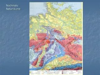
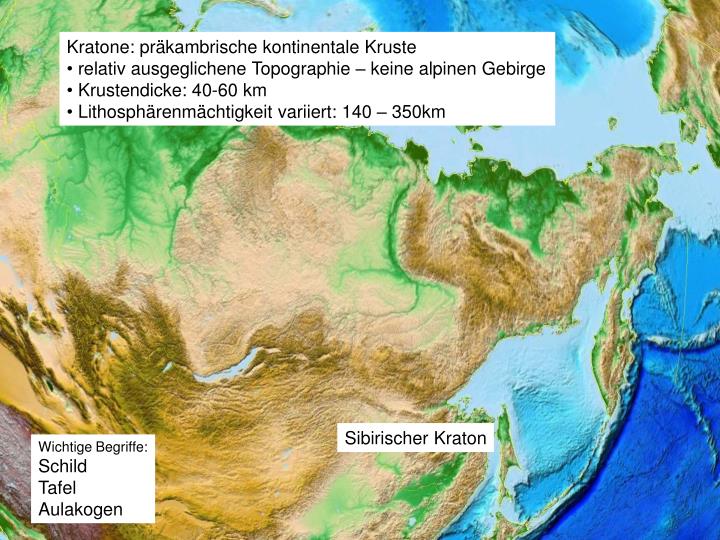
Kratone: präkambrische kontinentale Kruste relativ ausgeglichene Topographie – keine alpinen Gebirge Krustendicke: 40-60 km Lithosphärenmächtigkeit variiert: 140 – 350km. Sibirischer Kraton. Wichtige Begriffe: Schild Tafel Aulakogen. Phanerozoikum: 542 Ma - 0.

E N D
Kratone: präkambrische kontinentale Kruste • relativ ausgeglichene Topographie – keine alpinen Gebirge • Krustendicke: 40-60 km • Lithosphärenmächtigkeit variiert: 140 – 350km Sibirischer Kraton Wichtige Begriffe: Schild Tafel Aulakogen
Phanerozoikum: 542 Ma - 0 Proterozoikum: 2,5, - 0,542 Ga Differentiation der frühen Erde (metallischer Kern, silikatischer Mantel & Kruste): 4,551 Ga Intensives Meteoritenbombardement (bei 3,8 Ga: 15fach; 3,0 Ga: 2fach in Relation zu heute) Kruste: älteste Zirkone in Metasedimenten (Yilgarn Kraton, West Australien): 4,4 – 4,3 Ga Älteste bekannte Gesteine: Granitgneis (Acasta Gneis Provinz, Kanada): 4,03 Ga Pillow Basalte submariner Vulkanismus (Isua Greenstone Belt): 3,8 – 3,7 Ga Präkambrium 4,56 Ga – 0,542 Ga Archaikum: 4,56 – 2,5 Ga
BIF Banded Iron Formation A banded-iron formation (BIF) rock recovered from the Temagami greenstone belt in Ontario, Can., and dated to 2.7 billion years ago. Dark layers of iron oxide are intercalated with red chert.
Mg-reiche Gesteine: Komatiite trockene Mantelschmelzen ~1700°C (Berry et al. 2008) Genese hauptsächlich im Archaikum Greenstone belts des Zimbabwe und Kaapvaal Kratons (südliches Afrika) http://commons.wikimedia.org/wiki/File:KomatiiteA2.jpg
spinifex structure in komatiites Spinifex Desert – Central Australia Pyroxene Needles Spinifex hirsutus (Hairy Spinifex)
Bildung juveniler kontinentaler Kruste Tonalit-Trondhjemit Granit Komplexe - Archaische Greenstone Belts
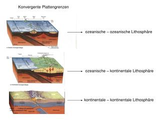
Plattentektonik im Präkambrium Indikatoren für laterale Bewegungen: Palmag, geologische (z.B. Ophiolithe), geochemisch (z.B. Vulkanite mit Inselbogensignatur), Metamorphose Klassisches Model: Präkambrium – hoher Wärmefluß – hoher geothermischer Gradient Metamorphosen – temperaturbetont – Migmatisierung + großvolumiger Magmatismus z.B. Blauschiefer: 800 Ma NW China Älteste Eclogite ~2 Ga (Usagaran eclogites, Tanzania) HP metamorphose