Download
1 / 19
190 likes | 592 Views
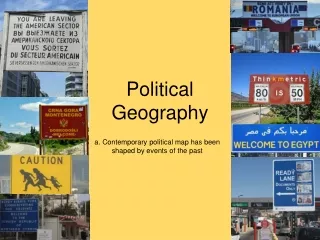
Political Geography. Location Capital Cities Boundaries. Relative Location. Landlocked States are disadvantaged for access to ocean and resources. Some have land corridors to ocean. Eg. Democratic Rep of Congo Strategic Location of resources in Iraq/Kuwait. Capital Cities.

E N D
Political Geography • Location • Capital Cities • Boundaries
Relative Location • Landlocked States are disadvantaged for access to ocean and resources. Some have land corridors to ocean. Eg. Democratic Rep of Congo • Strategic Location of resources in Iraq/Kuwait.
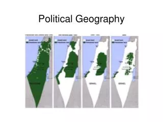
Capital Cities • Seat of government. Often centre of finances, education, health services. • Symbol of national pride. Palestinians say only Jerusalem could be the capital of a Palestinian state. • New capitals can open territory eg. Brasilia
Boundaries • Natural Boundaries-based on natural features like rivers and mountains. Difficult to determine the height of land or the middle of the river for boundaries. • Geometric Boundaries- based on lines of latitudes or longitude of arcs of circles eg. Saskatchewan • Antecedent were laid down before most of the cultural landscape. • Subsequent were laid down after most settlement patterns were developed.
Geometric Boundaries of Antarctica • Disputed mountain (natural boundary)-
Antecedent Boundary • Antecedent Boundary. The 49th parallel of latitude was used for most of the western US/Canada boundary. Transportation links developed around the boundary.
Consequent Boundaries-drawn to account for cultural patterns eg. Eire/N Ireland Superimposed Boundaries-boundaries disregard cultural patterns eg. African states vs tribal boundaries (right) Consequent Boundaries - drawn according to the cultural patterns present eg. Eire/N. Ireland Subsequent Boundaries
Canada Coast of Labrador belonged to Nf. One mile from water wanted interior for resources Privy Council in 1927 Newfoundland Coast was watershed divide Previous use of “coast” - HBCo Previous definitions of coast in Africa decision in NF favour Labrador Boundary
Maritime Boundaries • Increased importance in c.20. • Islands especially crucial (St. Pierre et Miquelon increases France’s maritime boundary) • United Nations Convention on the Law of the Sea (UNCLOS) widely accepted by 1990. • Still disputes of ownership and boundary baselines all over world.
Territorial Sea- up to 12 nm , exclusive fishing rights • Contiguous Zone-24nm immigration and sanitation controls • Exclusive Economic Zone EEZ-200nm. Economic advantage for all resources • High Seas-all states of world. Resources are common heritage
Canberra, the capital of Australia. A city planned as the centre of federal government
Natural boundaries can pose problems of demarcation….Chile/Argentina
Geometric boundary called Four Corners:Utah/Arizona/Colorado/ New Mexico
Ministates claim 200-mile nautical limit. Gain considerable control of oceans
Nagorno-Karabakh is 80% Armenian within Azerbaijan. • Armenians are Christians/Azers are Shiite Muslims • Stalin awarded N-K to Azerbaijan • Nationalism became stronger • In Gorbachev’s perestroika N-K lobbied for a 16km corridor to Armenia • Azerbaijan tightened grips on N-K • Guerilla war ever since