Download
1 / 9
90 likes | 494 Views
Gerrymandering and Electoral Geography.

E N D
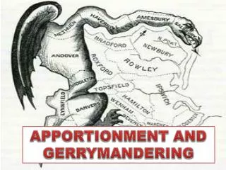
Printed in 1812, this political cartoon illustrates the electoral districts drawn by the Massachusetts legislature to favor the incumbent Democratic-Republican party candidates of Governor Elbridge Gerry over the Federalists. The cartoon depicts the bizarre shape of one district as a salamander, from which the term gerrymander is derived.
Electoral Geography 1.Electoral geographers a) Study spatial configuration of electoral districts b) Voting patterns c) Influence of voting patterns on social and political affairs
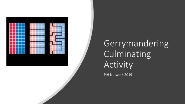
Electoral Geography Gerrymandering - redrawing of voting districts in such a way as to give one political party maximum political advantage • Creating of majority-minority districts
Gerrymandering • Stacked: drawing circuitous boundaries to enclose pockets of strength or weakness • Excess vote: concentrates the votes of the opposition in a few districts which they can win easily, but leaves them few potential seats elsewhere • Wasted vote: diffuses opposition’s vote
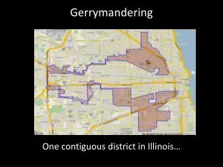
Examples of Gerrymandering Bullwinkle • (New York's 12th; Hispanic majority)