Download
1 / 23
230 likes | 243 Views
Learn how to manage GPS errors, improve map accuracy, and enhance communication with this comprehensive guide. Explore the importance of datums, error, accuracy, and precision, and discover tips for minimizing errors in GPS mapping.

E N D
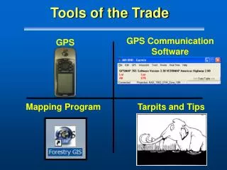
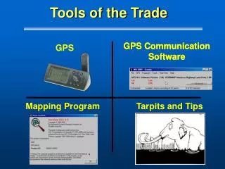
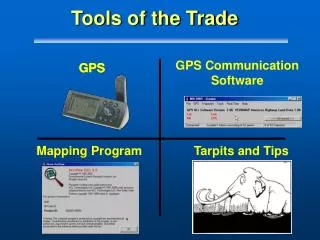
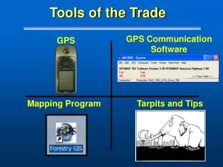
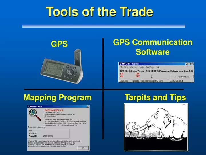
GPS CommunicationSoftware GPS Mapping Program Tarpits and Tips Tarpits and Tips Tools of the Trade
Tools of the Trade - Part IV Tarpits and Tips TIPS
Outline • Datums • Error, Accuracy, and Precision • Map Scale and Errors • Tips for Managing GPS Error • Better Maps for GPS
GPS Datum Tarpit • What’s the big deal • A football field of difference if you are wrong! • Ask the 3 soldiers in Afghanistan
If you were in Alaska Datum Shift 90 feet Florida Example
GPS Datum Tarpit • Summary: • Know your Datum at all times • When you hear WGS84, it’s the same as NAD83 Aviation GPS is always WGS84
Error, Accuracy, and Precision • Importance • Safety • Make or break a GIS project • Learn ways to keep GPS errors to a minimum • Be aware of the issues Kenneth E. Foote and Donald J. Huebner, The Geographer's Craft Project, Department of Geography, The University of Colorado at Boulder.
Basic Definitions 1.) Accuracy: how close to truth or accepted values. 2) Precision: how repeatable or consistent
Basic Definitions 3.) Error: includes both the imprecision of data and its inaccuracies Accurate + Precise = Low Error !
False Advertising • Beware of False Accuracy and False Precision • UTM = 1 meter • DMS.S = Translates to about 3 meters
Map Scale • Accuracy and Precision for a map are a function of the scale at which the map was created • Applies for digital or paper • National Mapping Accuracy Standards employed by USGS
Accuracy Standards for Various Map Scales • 1:2,400 ± 6.67 feet • 1:24,000 ± 40.00 feet • 1:63,360 ± 105.60 feet • 1:100,000 ± 166.67 feet
1:2,400 R=6.67’ 1:12,000 R=33.33’ 1:24,000 R=40’ Map Scale
Map Scale and the Garmin • Question? Will your Garmin III Plus meet Mapping Accuracy standards for a 1:24,000 scale product? • How about a 1:63,360? • Today, we will answer that question?
Sources of Map Errors • Age of Data • Map Scale Mapsource data is 1:100,000 scale • Digitizing Errors
Tips for Managing GPS Error • Record Metadata: • Who, What, Why
Managing GPS Error • Try to average points
Managing GPS Error • Try to use Antenna when possible
Make Better Maps for GPS • Basic Premise: • Maps and GPS are made for each other • Location finding requires map grids, labeled tics and graticules • Ingredients Required: • ArcView • Coordinate Grid Maker extension* • Map Data *Christoph Feldkotter Version 2.270 Available from www.esri.com/arcscripts
Summary • Importance of Datums • How error free are you? • By managing error you can beat the odds