Download
1 / 72
720 likes | 738 Views
The Pan-European Transport Corridor X Technical Secretariat utilizes GIS technology for continuous monitoring and planning of the corridor's development. This includes integrated analysis, simulation, and mapping of scenarios, as well as quick decision-making and map production.

E N D
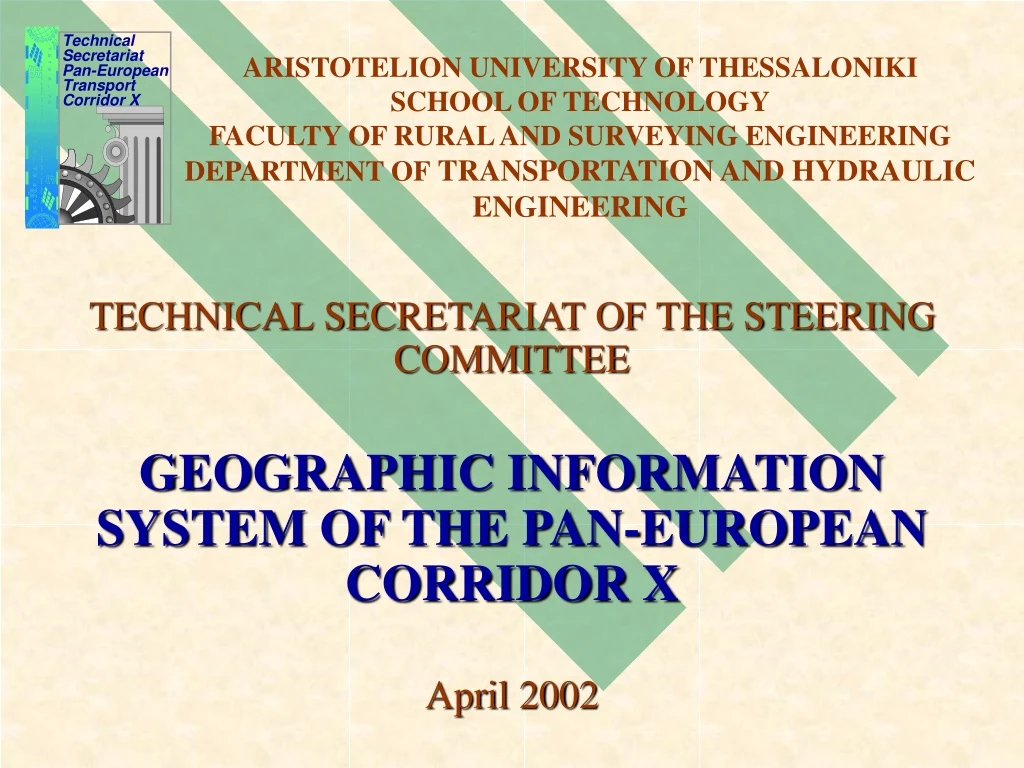
ARISTOTELION UNIVERSITY OF THESSALONIKISCHOOL OF TECHNOLOGYFACULTY OF RURAL AND SURVEYING ENGINEERINGDEPARTMENT OFTRANSPORTATION AND HYDRAULIC ENGINEERING Technical Secretariat Pan-European Transport Corridor X TECHNICAL SECRETARIAT OF THE STEERING COMMITTEE GEOGRAPHIC INFORMATION SYSTEM OF THE PAN-EUROPEAN CORRIDOR X April 2002
MAIN OBJECTIVE OF THE CORRIDOR X G.I.S. The continuous and systematic monitoring of any procedure concerning, directly or indirectly, the development of Corridor X (Upgrading, rehabilitation, reconstruction). CHARACTERISTICS OF THE G.I.S. TECHNOLOGY • Monitoring and planning activities • Integrated technology for analysis and spatial study that contributes to the decision making process • Submission of integrated information • Simulation and mapping of scenarios • Solutions to complex problems • Quick and easy map production • Development of direct and effective solutions in an operational and economic way • According to data quality: Quick and to the point decisions
APPLICATION OF G.I.S. TECHNOLOGY IN CORRIDOR X –SPECIAL FEATURES • Sources of data used in data base: • Questionnaire-based survey • On-site visits – expertise • Communication process between the Technical Secretariat and the responsible Authorities * The participants were supplied with the first version of the Data Base (in MS Excel format) during the 3rd meeting of the S.C. and they replied within a month with comments on the information included in the Data Base. • Internet • Digital Background: • Satisfactory level of accuracy for the scope of the T.S. activities • Various analog and digital maps collected by the T.S. • Two special features: • International character of the application (collection, distribution and exchange of information) • “Network” G.I.S.: linear reference unit applied to the study of the infrastructure of the rail and road sections of the Corridor
COMPONENTS OF THE G.I.S. • Hardware • Software • D.B.M.S. • Query tools • Graphical User Interface • People (Users) • Methods of analysis • Data • Improved organization • Integrated information • Dynamic relation between spatial and descriptive data • Analysis by non-experienced users • Standardization of data base structure • Easy updating and exchange of data ADVANDAGES OF THE G.I.S.
DATA MANAGEMENT CONSIDERATIONS • Not very large data volume (at present) • Use of a Data Base Management System (D.B.M.S.): Storing, retrieval, management of all kind of data, including spatial. • An increase of data volume is expected due to the need for: • progress reports, • possibly a new questionnaire survey, and • flows data • Relational (storing as a set of tables) • Entity – Relation Diagrams • Road Data Base • Rail Data Base
FORMS IN CORRIDOR X RAIL DATA BASE Maps Website
TABLE OF CONTENTS OF ROAD G.I.S. (1/2) • Status of road Corridor X • Road category (actual) • Road category (projected) • Traffic lanes per direction (actual) • Traffic lanes per direction (projected) • Horizontal alignment (actual) • Horizontal alignment (projected) • Road capacity (actual) • Road capacity (projected) • Annual Average Daily Traffic (actual) • Annual Average Daily Traffic (projected) • Traffic composition (actual) • Traffic composition (projected) • Maximum design speed (actual) • Maximum design speed (projected) • Accidents per kilometer • Traffic flows at cross borders (private and commercial vehicles) • Mean estimated delays at cross borders for private and commercial vehicles
TABLE OF CONTENTS OF ROAD G.I.S. (2/2) • Pavement condition • Land type • Level of signing • Level of lighting • Parking areas • Tolls stations
TABLE OF CONTENTS OF RAIL G.I.S. (1/2) • Status of rail Corridor X • Traction system (actual) • Traction system (projected) • Track alignment - single or double track (actual) • Track alignment - single or double track (projected) • Freight trains commercial speed • Passenger trains commercial speed • Running time for international passenger trains (actual) • Running time for international passenger trains (projected) • Running time for international freight trains (actual) • Running time for international freight trains (projected) • Passenger trains per day (actual) • Passenger trains per day (projected) • Freight trains per day (actual) • Freight trains per day (projected) • Annual freight carried (actual) • Annual freight carried (projected) • Annual number of passengers (actual) • Annual number of passengers (projected)
TABLE OF CONTENTS OF RAIL G.I.S. (2/2) • Capacity (actual) • Capacity (projected) • Maximum design speed (actual) • Maximum design speed (projected) • Allowed weight per axle (actual) • Allowed weight per axle (projected) • Accidents per kilometer • Annual passenger trains at cross borders • Annual freight trains at cross borders • Mean estimated delays at cross borders for passenger and freight trains • Level of maintenance • Land type • Signaling system (actual) • Signaling system (projected) • Number of at level crossings (actual) • Number of at level crossings (projected)