Download
1 / 96
960 likes | 1.07k Views
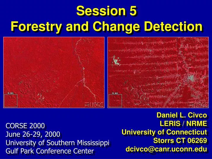
Session 5 Forestry and Change Detection. Daniel L. Civco LERIS / NRME University of Connecticut Storrs CT 06269 dcivco@canr.uconn.edu. CORSE 2000 June 26-29, 2000 University of Southern Mississippi Gulf Park Conference Center. June 2000 Volume 98 Number 6.

E N D
Session 5Forestry and Change Detection Daniel L. Civco LERIS / NRME University of Connecticut Storrs CT 06269 dcivco@canr.uconn.edu CORSE 2000 June 26-29, 2000 University of Southern Mississippi Gulf Park Conference Center
June 2000 Volume 98 Number 6 • Remote Sensing and Forestry: Collaborative Implementation for a New Century of Forest Information Solutions • Foresters' Roles in Remote Sensing • From Pixels to Decisions: Digital Remote Sensing Technologies for Public Land Managers • Remote Sensing Data Sources and Techniques • Aerial Photography in the Next Decade • Digital Imaging Basics for Natural Resource Managers • Videography for Foresters • The Earth Observing System and Forest Management • Intermediate Multispectral Satellite Sensors • Selecting and Interpreting High-Resolution Images • Forest Information from Synthetic Aperture Radar • Lidar Remote Sensing for Forestry • Using Hyperspectral Data to Assess Forest Structure • Map Data in Support of Forest Management • Image and Spatial Analysis Software Tools • Field Applications for Statistical Data and Techniques • Integrating Data and Information for Effective Forest Management http://www.safnet.org/pubs/jof/index.html
Remote Sensing and Forestry: Collaborative Implementation for a New Century of Forest Information Solutions • Kathleen Bergen, John Colwell, & Frank Sapio “ ... new forest management paradigms and rapid technological advances together create an organizational and technological challenge, as well as a great opportunity for advancing forestry.” http://www.safnet.org/pubs/jof/index.html
From Pixels to Decisions: Digital Remote Sensing Technologies for Public Land Managers • Henry Lachowski, Paul Maud, and Norm Roller “… forest managers need information about the geospatial infrastructure, including the location, amount, and condition of the forest’s natural and cultural resources.” http://www.safnet.org/pubs/jof/index.html
Deforestation Deforestation is the permanent destruction of forests and woodlands. The increasing population requires greater food production - deforestation occurs as the forests are converted for agricultural and urban uses. In the past three decades one fifth of all tropical forests were lost. Currently, 12 million hectares of forests are cleared annually. Most deforestation occurs in the moist forests and open woodlands of the tropics. http://ps.ucdavis.edu/classes/ire001/env/deforest.htm http://www.wri.org/forests/index.html
Deforestation in the Tropics LandsatImage Overview Map Degree of Deforestation http://www.dpi.inpe.br/Amazonia/pg13.html
Fragmentation • Habitat Fragmentation, Modification or Loss Sources of habitat fragmentation include: • Agriculture: Conversion of prairie and forest areas to intensive agriculture eliminates nesting cover. • Forestry: Harvesting and regeneration modify the forest landscape and alter the structural and plant species diversity. • Urbanization: Urban sprawl to accommodate a growing human population progressively consumes natural areas. • Linear development: Roads, pipelines and hydro rights-of-way open up previously difficult-to-access territory to human use. • Climate change: When growing conditions are altered, habitat availability is affected, especially for species at the edge of their range http://www.cws-scf.ec.gc.ca/canbird/pif/habitat.htm
The Northeast Landscape In the beginning, there was forest...
The Northeast Landscape After near total conversion to farmland, much forest has returned...
The Northeast Landscape Now, farm and forest are being converted to developed land, particularly subdivisions.
The Northeast Landscape Is urban sprawl, deforestation, and habitat fragmentation the future of the Northeast?
The Power to Visualize wa*ter*shed n. 1. An area of land draining to a common outlet. ZZZZZ...
The Power to Visualize wa*ter*shed n. 1. An area of land draining to a common outlet. HMMM...
The Power to Visualize AWESOME ! AWESOME ! AWESOME !
The Power to Confuse What the…?! ? ? ? ? ? Picasso
What is a Watershed? A Watershed is an area of land that drains to a single outlet.
3D Visualizations ADAR TM DEM 3-D to drive home the point
Make the Obvious Even More Obvious Thematic Mapper Band 6, Thermal,Resampled to 30 Meter Resolution By enhancing visualization ...
Warmer Cooler 3-D Surface of Temperature Differences What are heat sinks? What will reduce thermal gains?
Forest Fragmentation Roads are built.
Forest Fragmentation Developed areas follow.
Forest Fragmentation Patches of contiguous forest become smaller.
Forest Fragmentation Forest resources are fragmented.
Impervious overlay from planimetric data 80 meter MSS multispectral 80 meter MSS w/ impervious overlay 30 meter TM 7 band multispectral 30 meter TM w/ impervious overlay 10 meter SPOT panchromatic 10 meter SPOT w/ impervious overlay 1 meter DOQ panchromatic 1 meter DOQ w/ impervious overlay 1 meter ADAR 4 band multispectral 1 meterADAR w/ impervious overlay Multiresolution Comparison
Steamboat Willie In 1928, Disney made history with the release of first talkie animation film Steamboat Willie featuring Mickey Mouse.
.. and haven’t we come a long way since? Mt Fuji volcano flyby created completely from ASTER data http://terra.nasa.gov/Gallery/
Remote Sensing in Action:The ASTER Sensor Aboard Terra http://terra.nasa.gov/Gallery/
Remote Sensing in Action:The MODIS Sensor Aboard Terra http://terra.nasa.gov/Gallery/
Global Normalized Difference Vegetation Index (NDVI) http://terra.nasa.gov/Gallery/
Global Normalized Difference Vegetation Index (NDVI) http://terra.nasa.gov/Gallery/
Mount St. Helens April 1980 May1980 June 1980 http://edcwww.cr.usgs.gov/earthshots/slow/MtStHelens/MtStHelens
Mount St. Helens 1973 1983 1988 1992 1996 Landsat MSS http://edcwww.cr.usgs.gov/earthshots/slow/MtStHelens/MtStHelens
EarthShots http://edcwww.cr.usgs.gov/earthshots/slow/tableofcontents
Rondonia, Brazil: 1975-1992 1975 1986 1992 http://edcwww.cr.usgs.gov/earthshots/slow/Rondonia/Rondonia
Fires in Wyperfeld National Park, Victoria, Southeast Australia 1975 1985 1999 http://edcwww.cr.usgs.gov/earthshots/slow/Wyperfeld/Wyperfeld
Fires in Wyperfeld National Park 1979 to 1997 http://edcwww.cr.usgs.gov/earthshots/slow/Wyperfeld/Wyperfeld
Clearcutting Near Olympic National Park, WA http://svs.gsfc.nasa.gov/imagewall/LandSat/olympic.html
Clearcutting Near Olympic National Park, WA 1986 1987 1988 1991 http://svs.gsfc.nasa.gov/imagewall/LandSat/olympic.html
Clearcutting Near Olympic National Park, WA http://svs.gsfc.nasa.gov/imagewall/LandSat/olympic.html
Clearcutting Near Olympic National Park, WA 1984 to 1995 http://svs.gsfc.nasa.gov/imagewall/LandSat/olympic.html
Deforestation near Santa Cruz, Bolivia from 1984 to 1998 150 miles 200 miles http://svs.gsfc.nasa.gov/imagewall/LandSat/santa_cruz.html
Urban Growth in the DC Area: 1973-1996 http://svs.gsfc.nasa.gov/imagewall/LandSat/dc_growth.html
Urban Growth Histories Baltimore-Washington Corridor http://www.ncgia.ucsb.edu/projects/gig/
Urban Growth History Marlborough Subdivision Growth resac.uconn.edu
Urban Growth Projections Eastern Pennsylvania San Francisco Bay Area http://www.essc.psu.edu/~dajr/chester/animation/
Even WE cause fragmentation Click photo File / Open Movie / Uconn from Towers.mov Resize Windows Pan Right-Left http://www.sp.uconn.edu/~wwwucimt/pano/images/towers.mov
NAUTILUS Research Objectives Better land cover Sprawl metrics Forest fragmentation metrics Better impervious cover
Landsat ETM+ Data 30 meter multispectral 60 meter thermal 15 meter panchromatic
High Resolution Airborne & Satellite Data ADAR 5500 and IKONOS IKONOS coverage ADAR coverage IKONOS Acquired through the NASA Scientific Data Purchase Program ADAR 5500